Click thumbnails for larger picture. Use the “⌘” symbol to show the location on a map.
 Except where otherwise noted, these works are available under
the conditions of
CC-BY-SA-4.0.
Except where otherwise noted, these works are available under
the conditions of
CC-BY-SA-4.0.
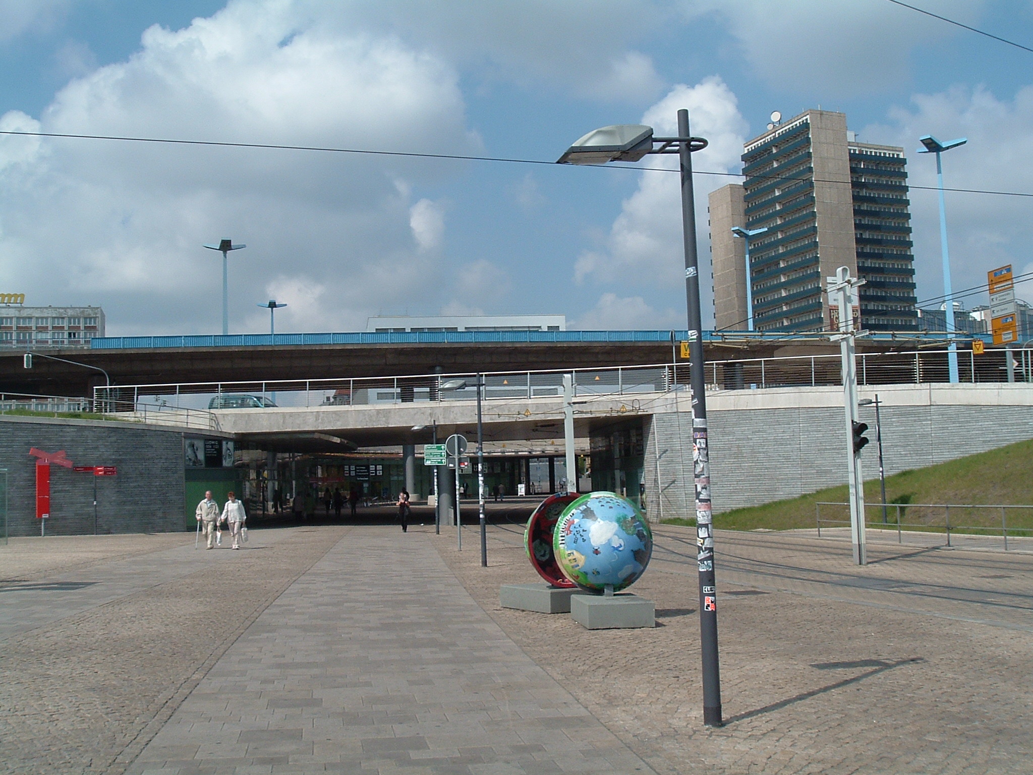
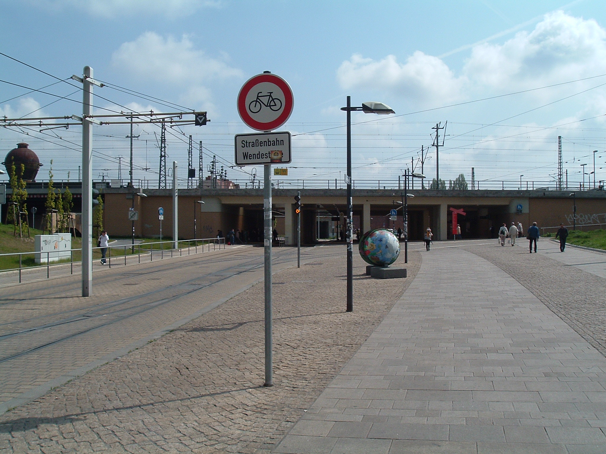
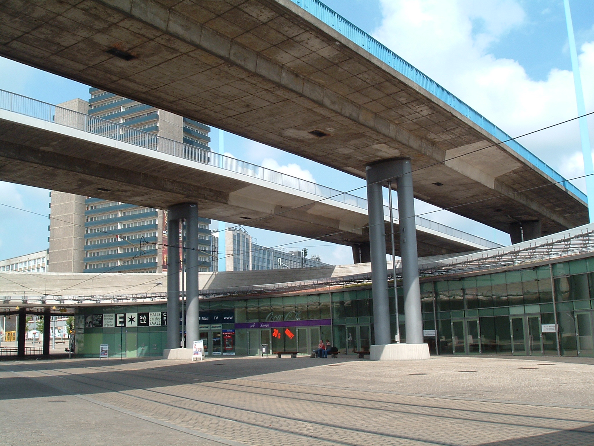
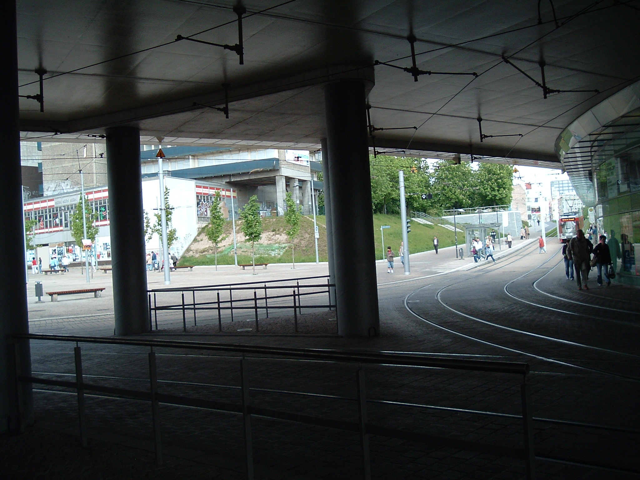
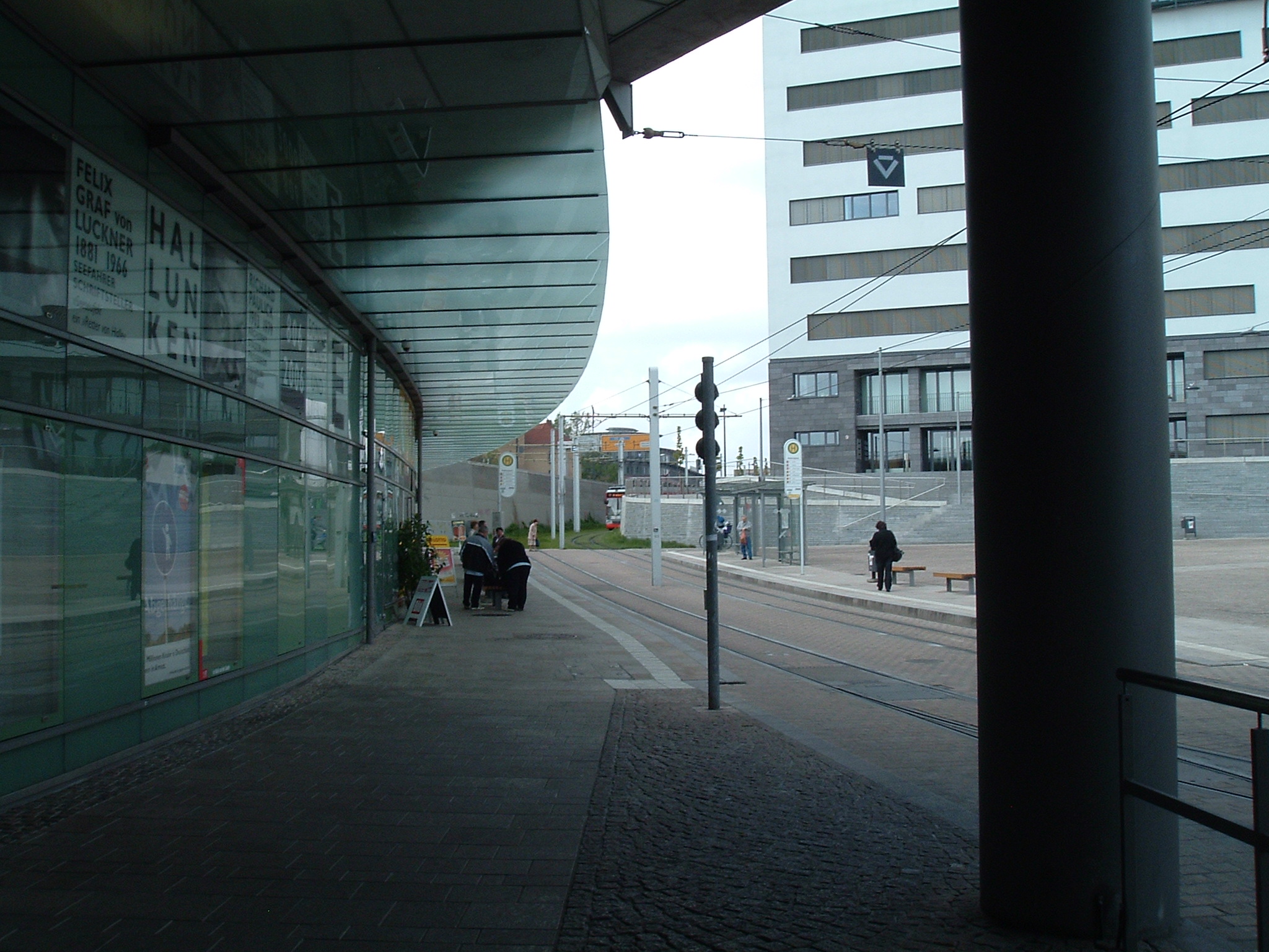
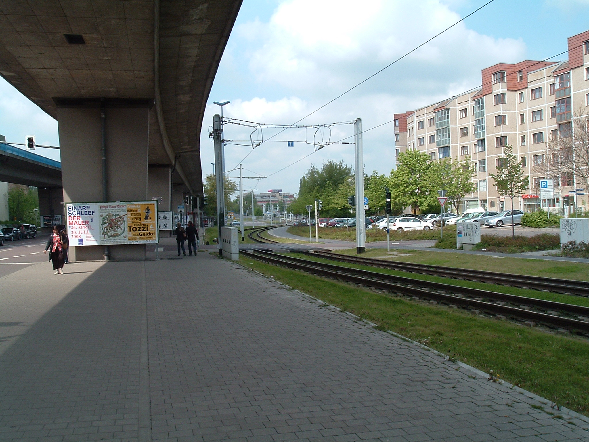
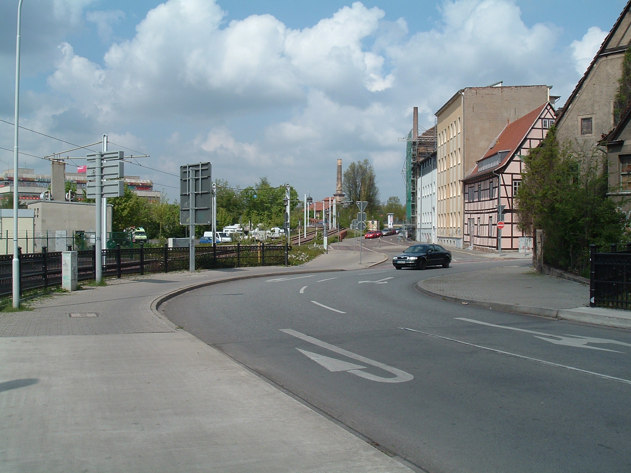
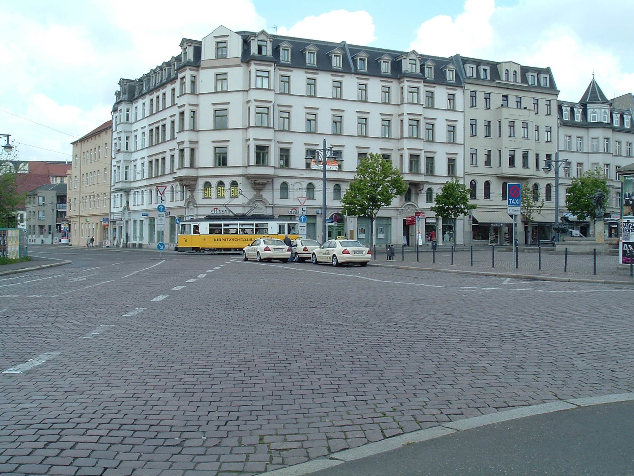
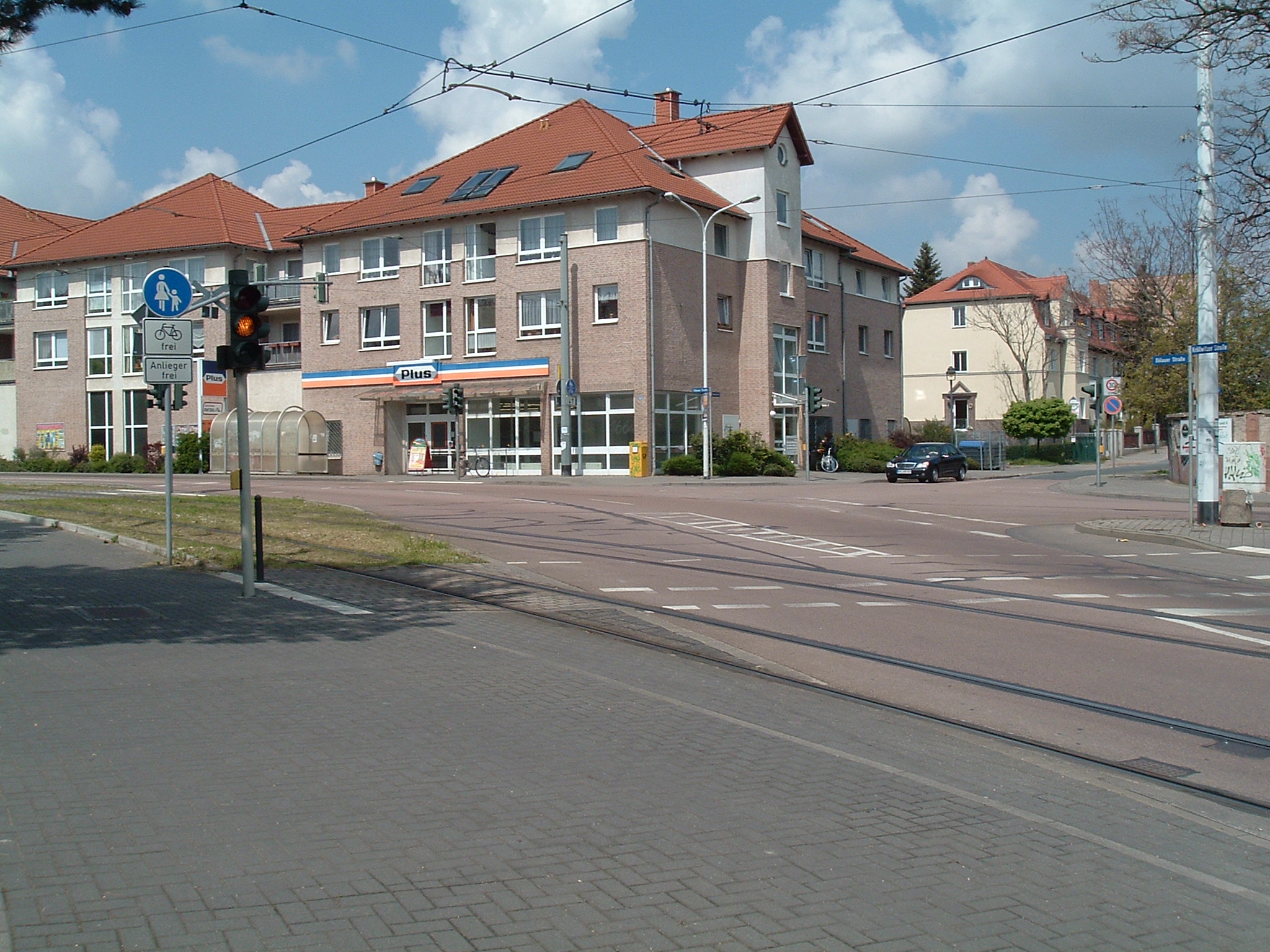
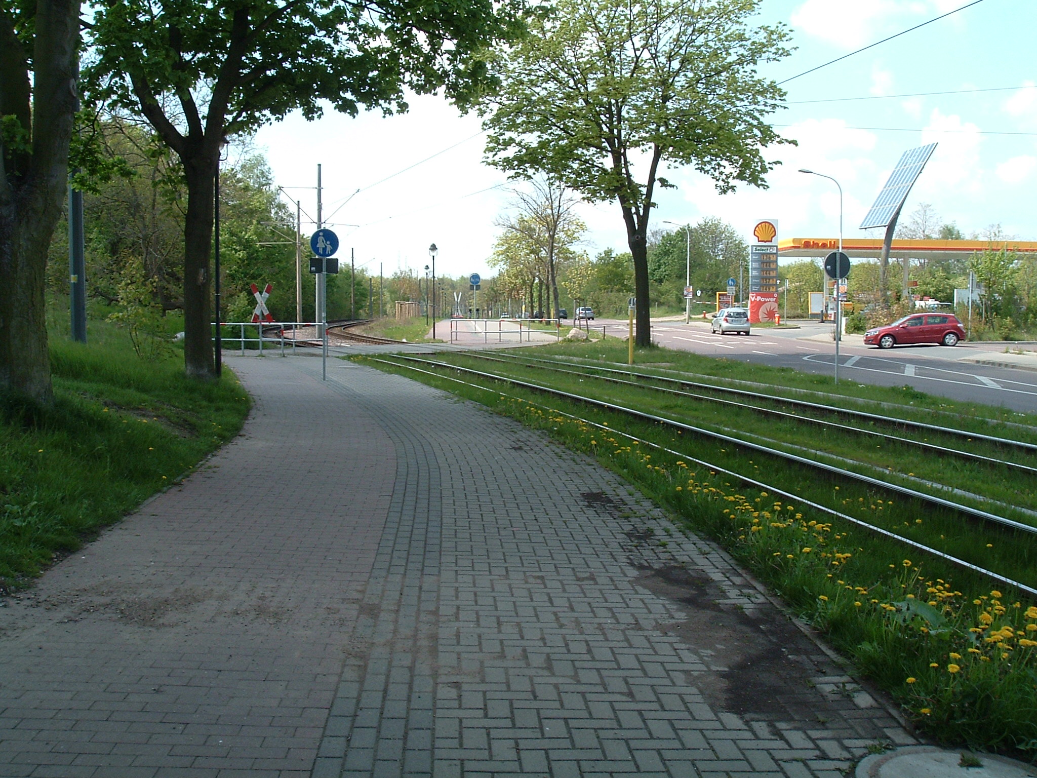
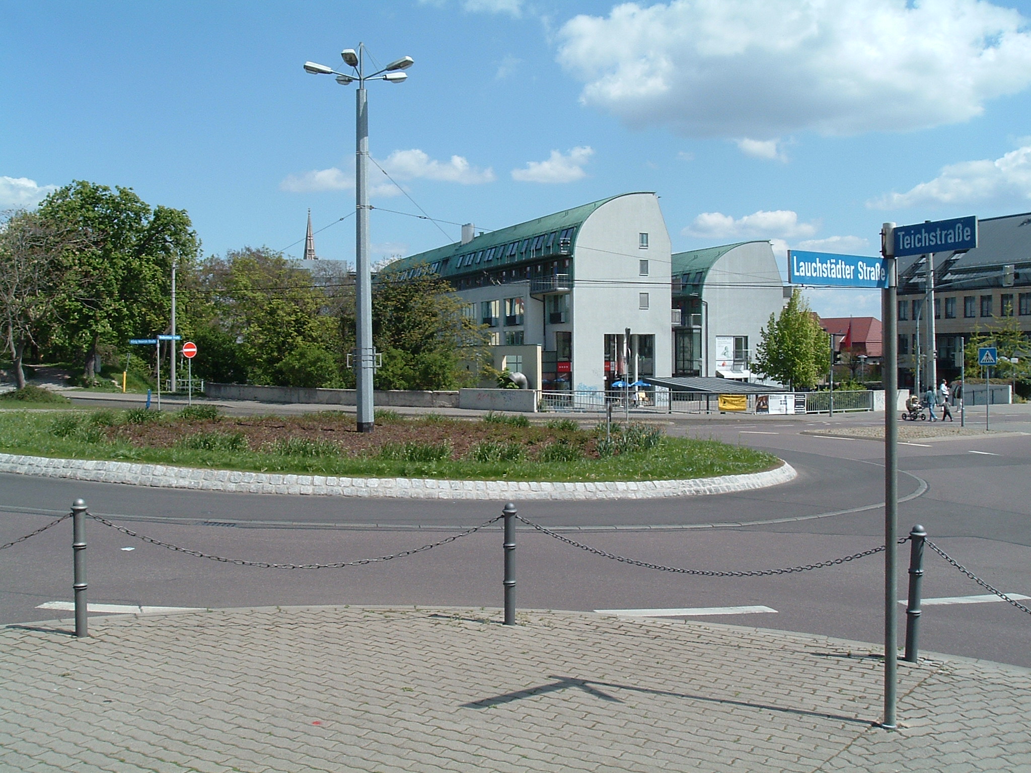
Halle – Riebeckplatz


 ⌘
⌘  ⌘
⌘
Station “Riebeckplatz” (north and west tracks)
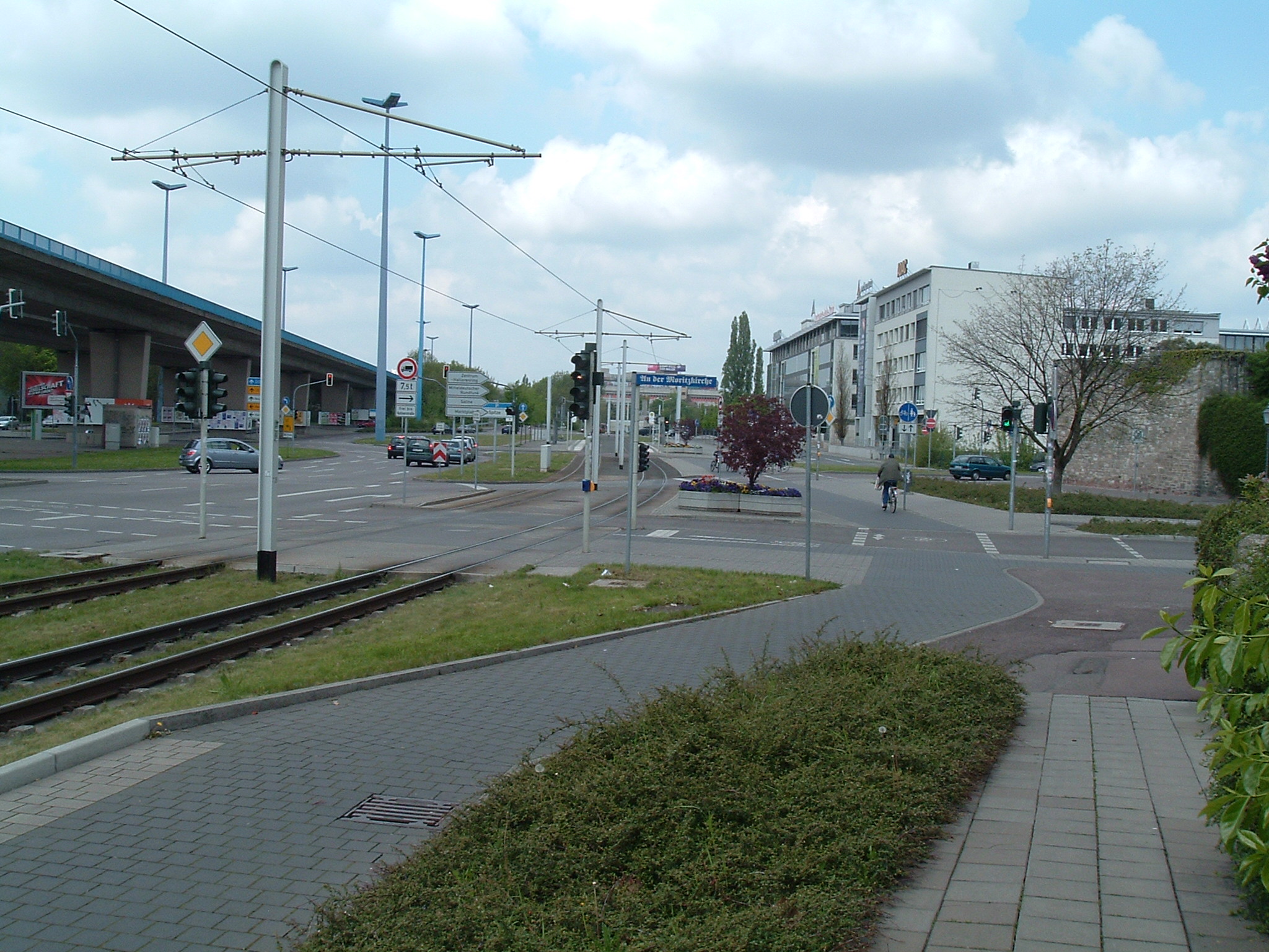
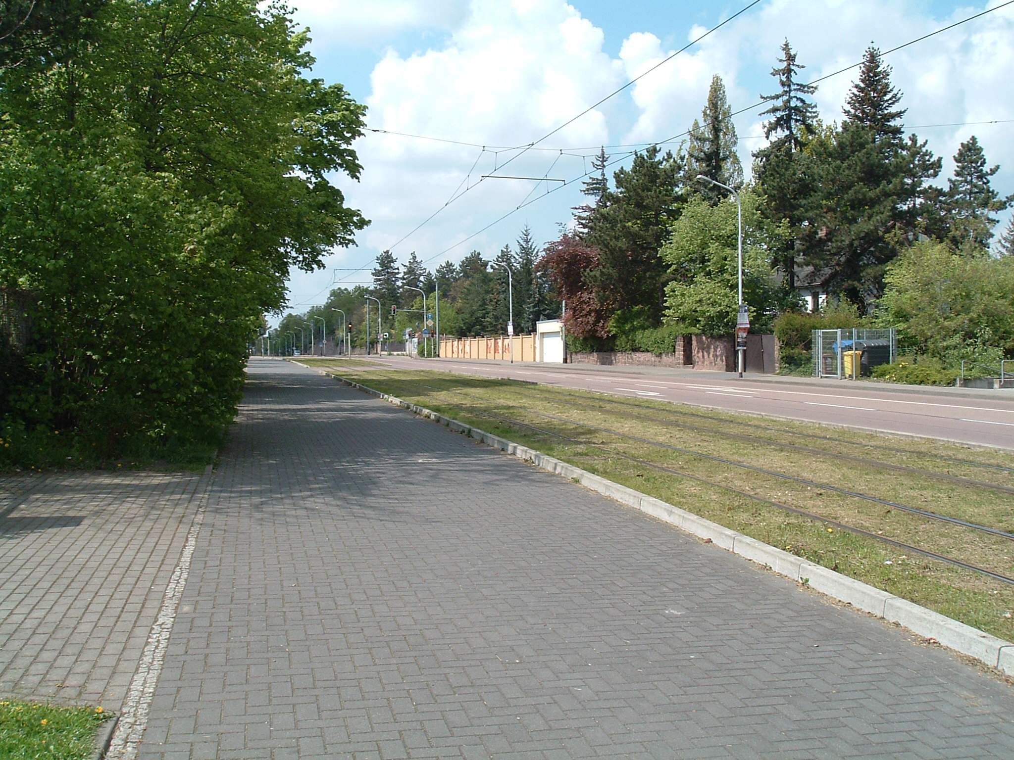
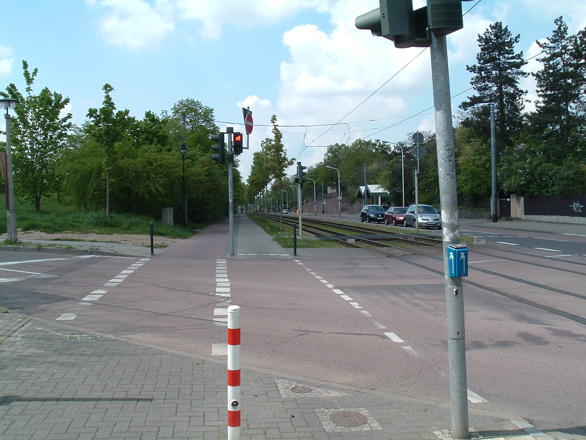
Halle – Franckestraße
 ⌘
⌘  ⌘
⌘  ⌘
⌘  ⌘
⌘  ⌘
⌘
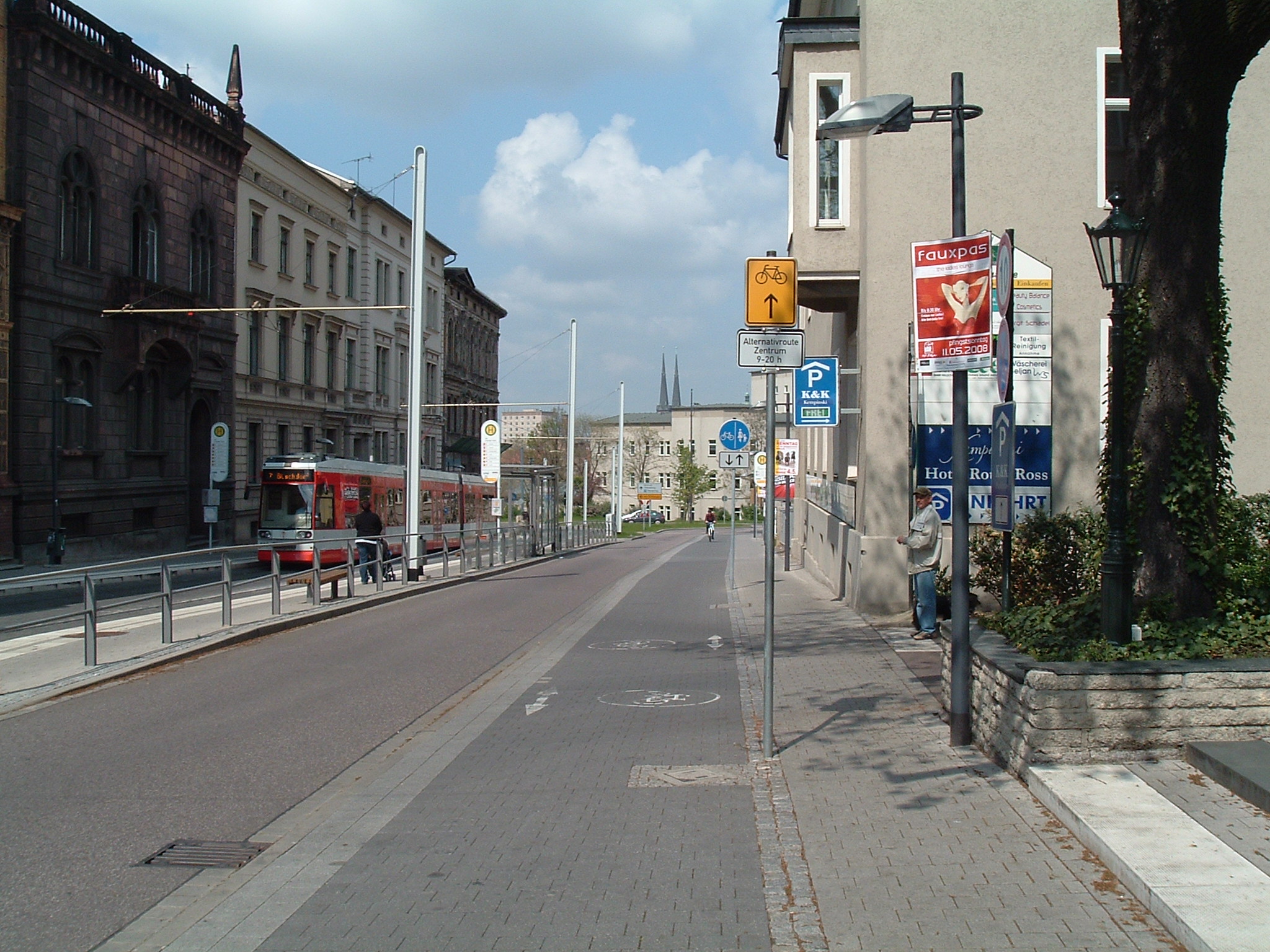
(Obere) Franckestraße, Station “Am Leipziger Turm” und rundrum.
 ⌘
⌘
The East German traffic mannekin is omnipresent. Most new traffic lights have it (again).
 ⌘
⌘
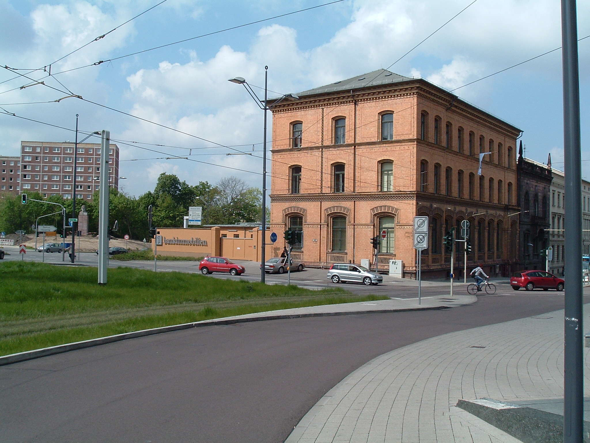
Franckeplatz
 ⌘
⌘
Station “Franckeplatz”
 ⌘
⌘
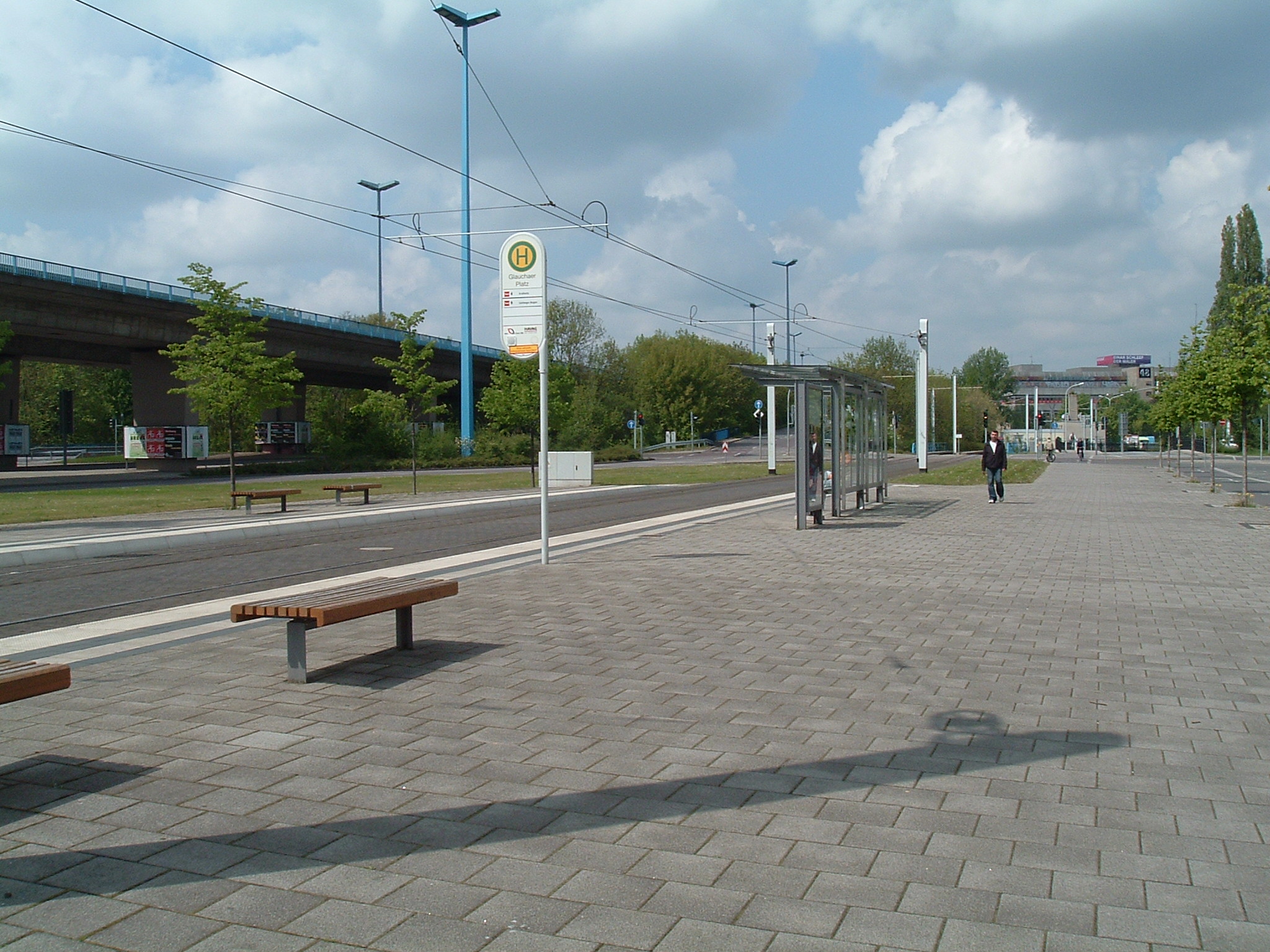
Station “Glauchaer Platz”
 ⌘
⌘
Wartburg car
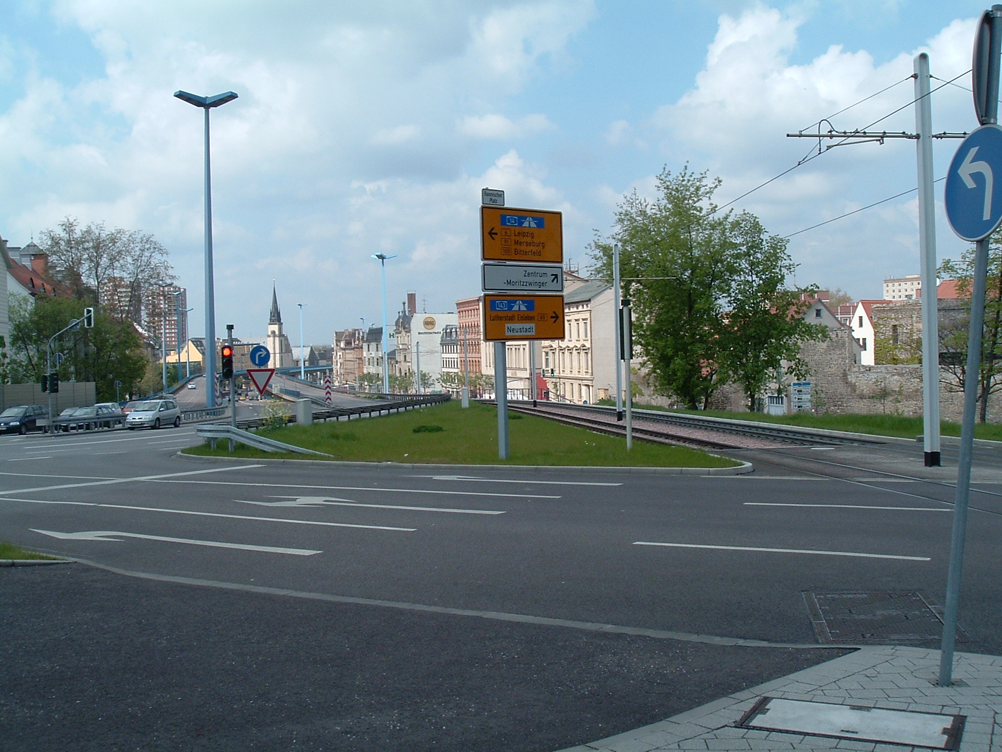
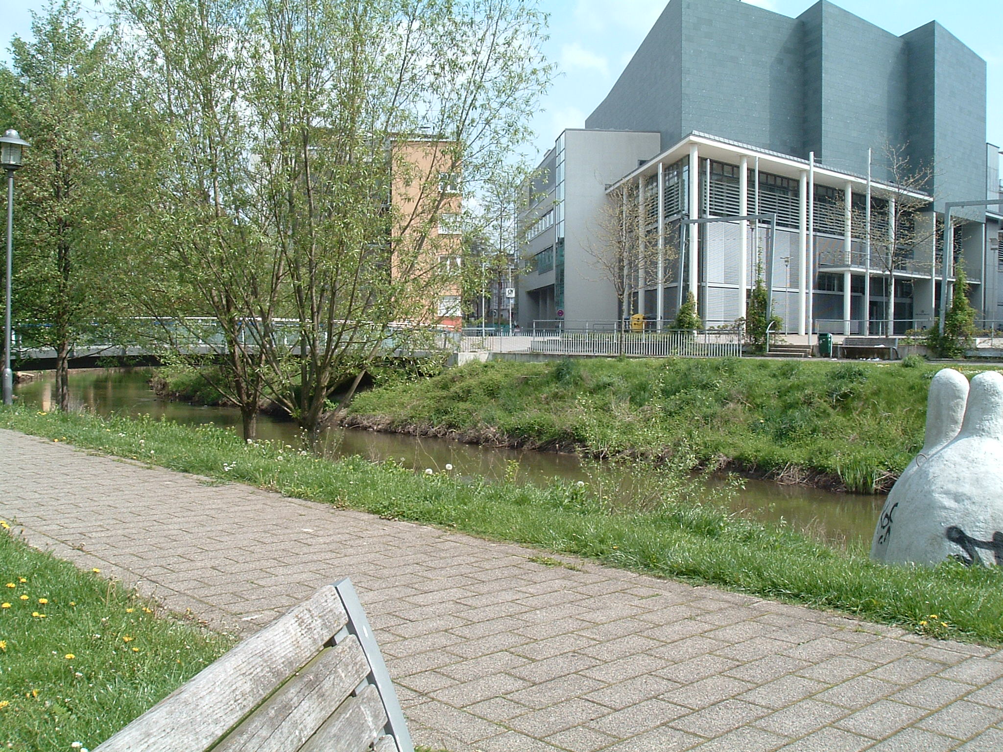
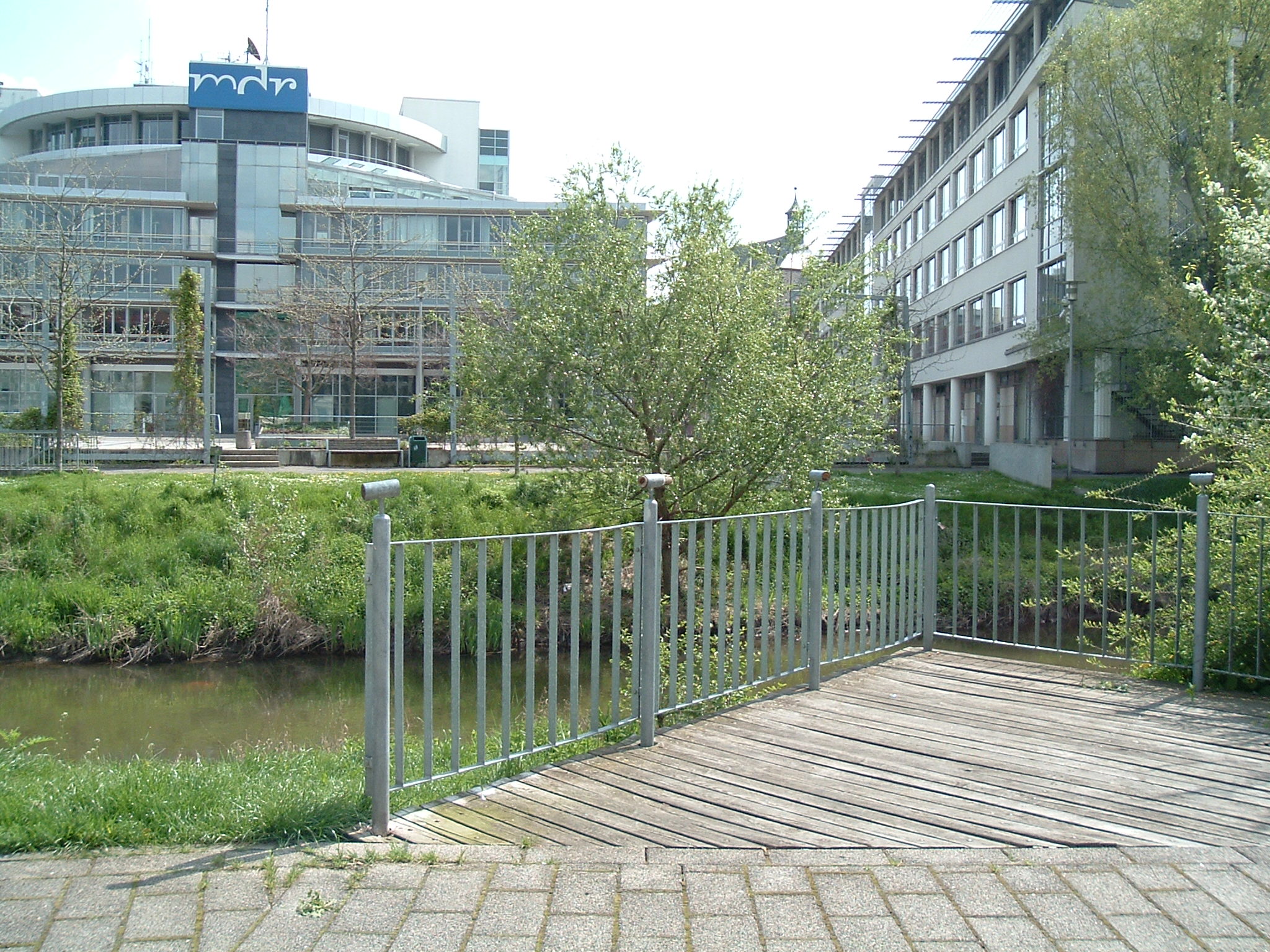
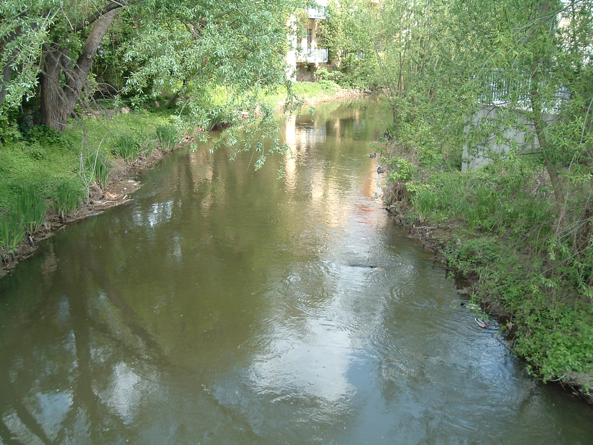
Halle – Zentrum

 ⌘
⌘  ⌘
⌘  ⌘
⌘  ⌘
⌘  ⌘
⌘
Rund ums mdr-Sendehaus.
 ⌘
⌘
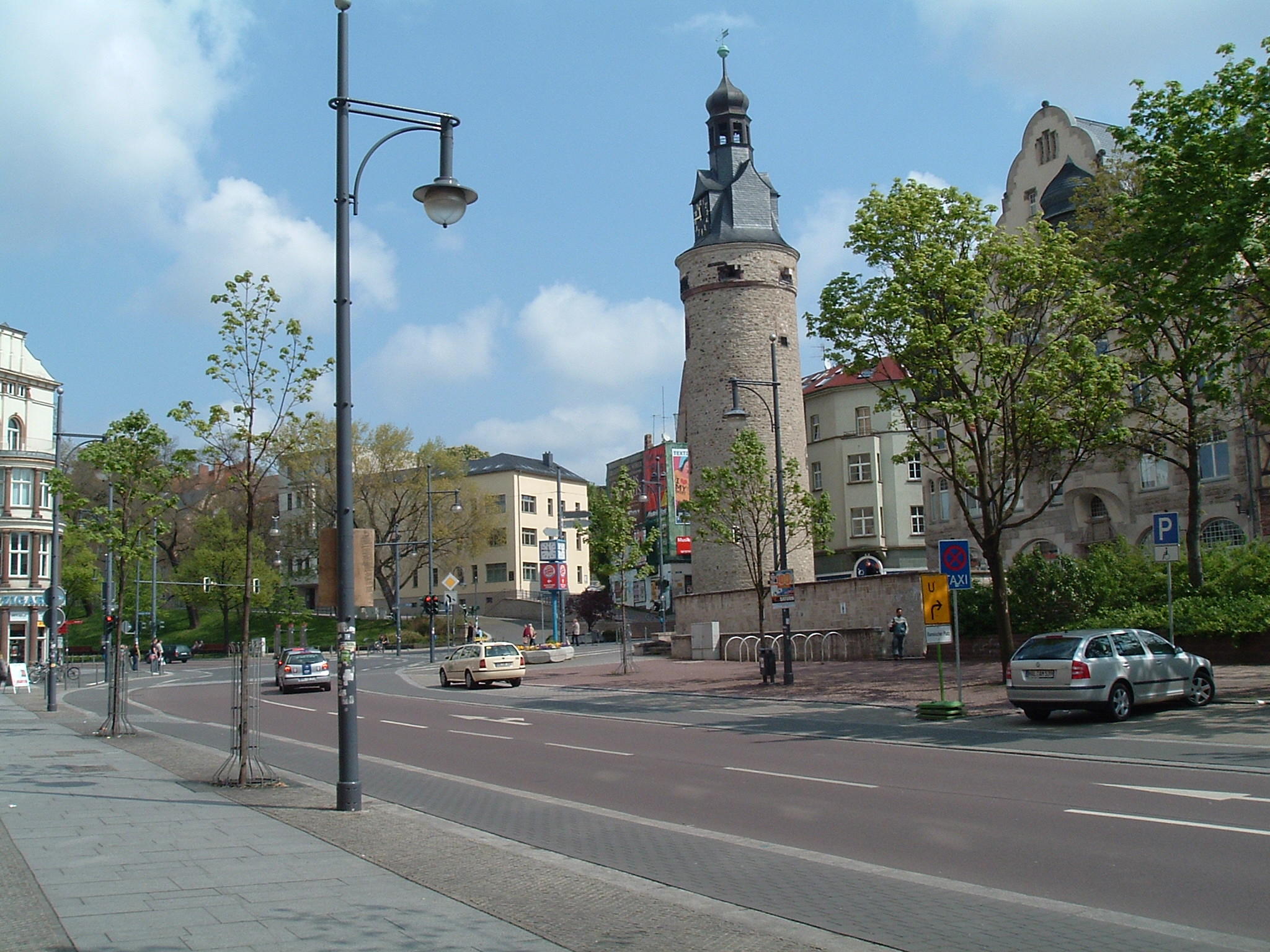
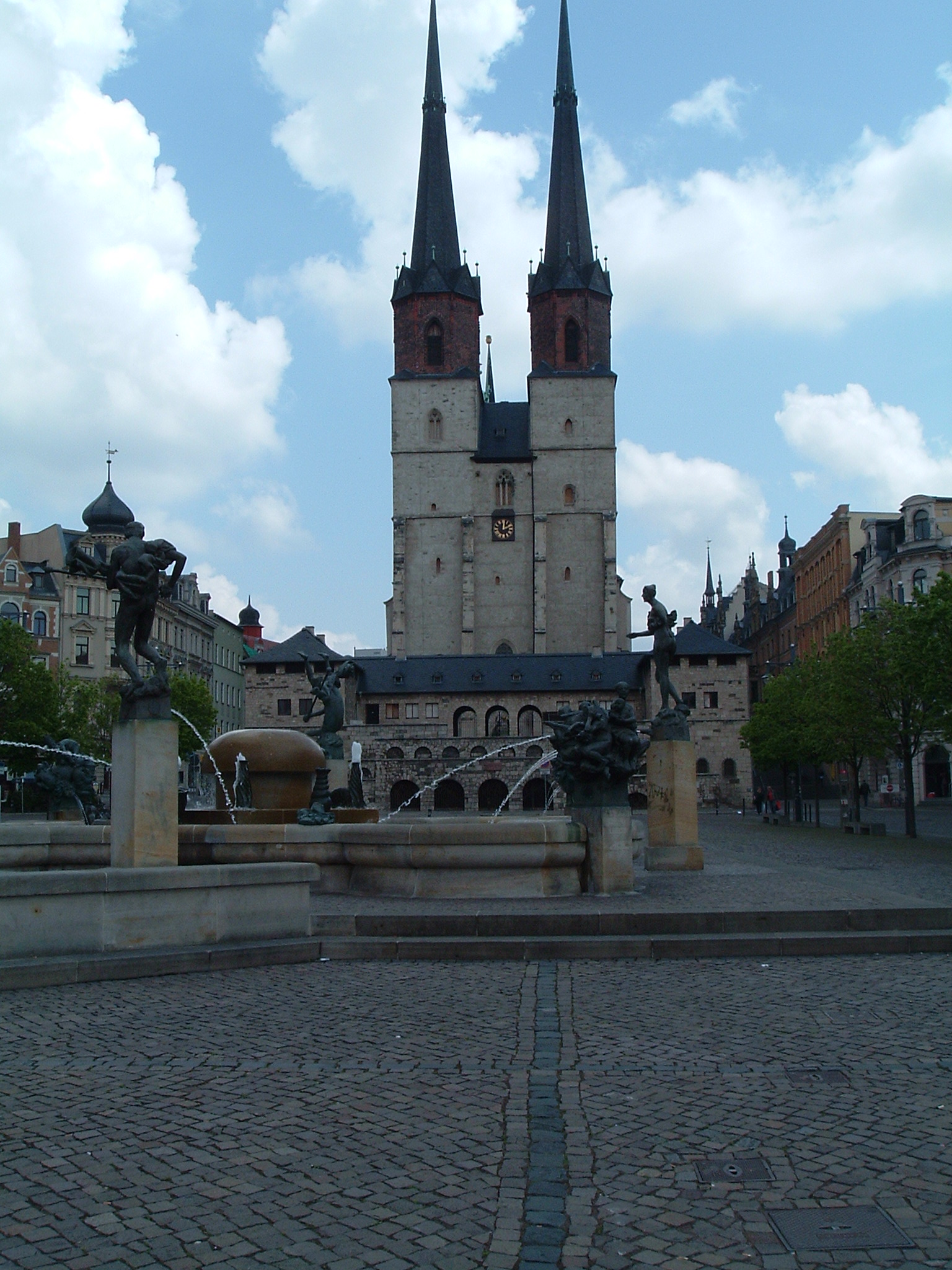
Hallmarkt (Salt market), Göbelbrunnen and Marienkirche (Western towers)
 ⌘
⌘
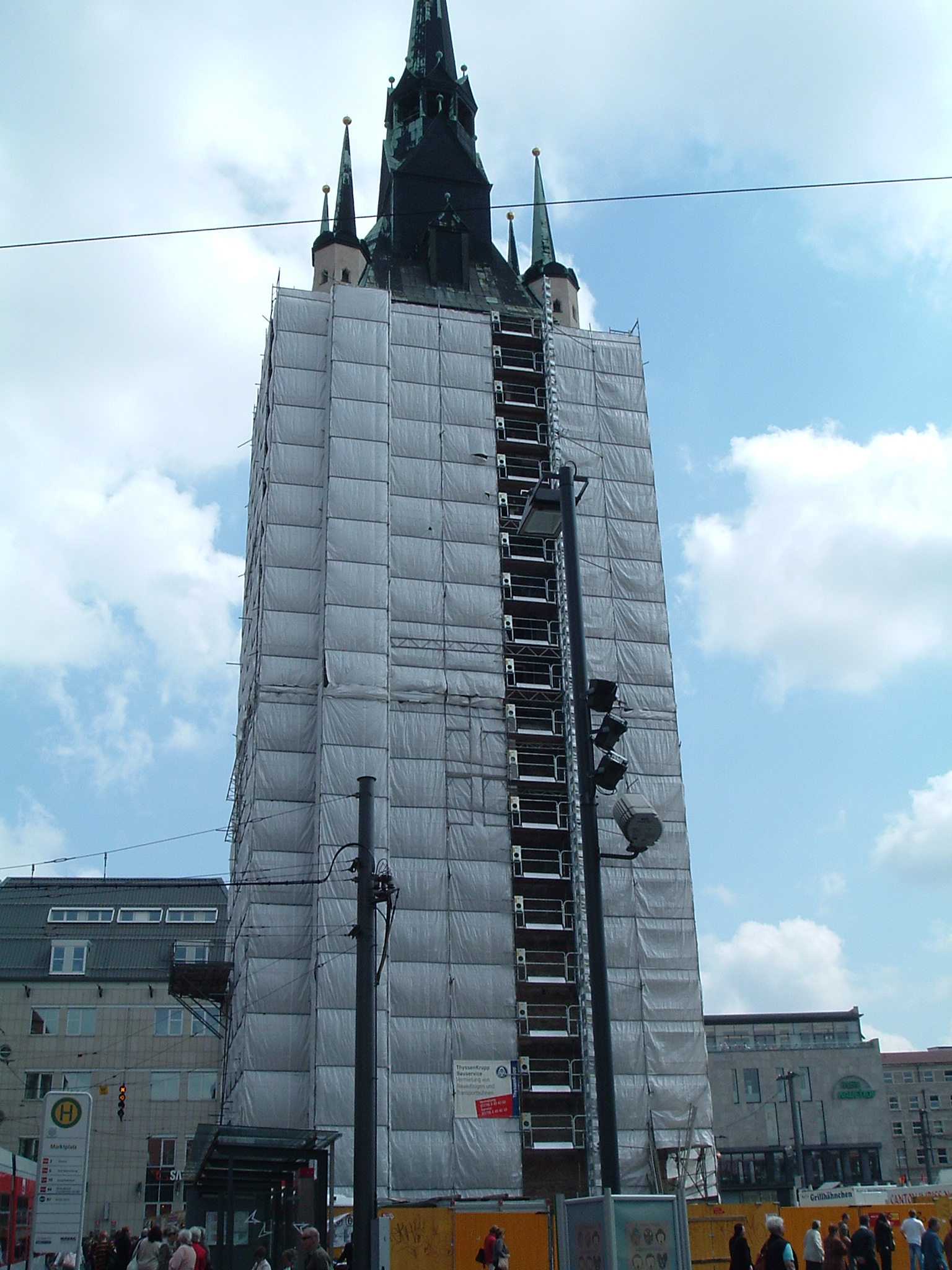
Marienkirche (Eastern towers), unfortunately under repairs
 ⌘
⌘
Market
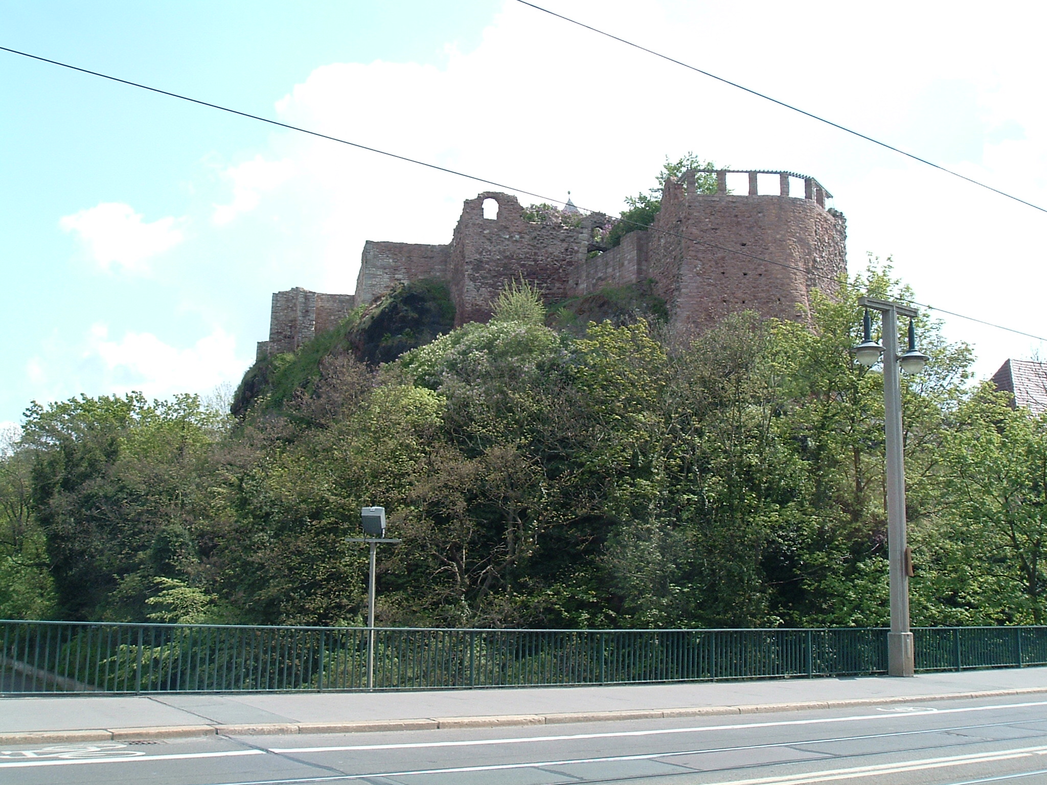
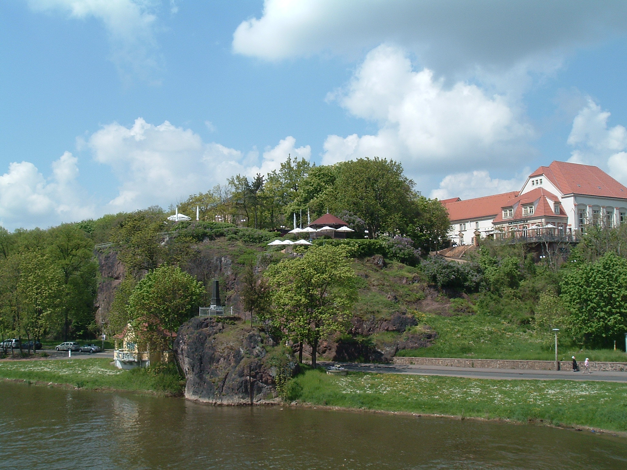
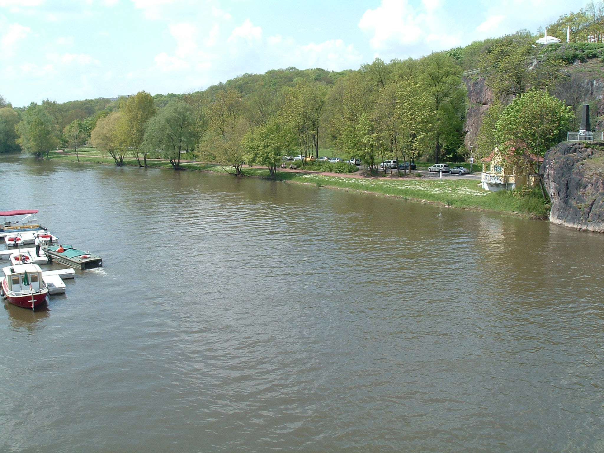
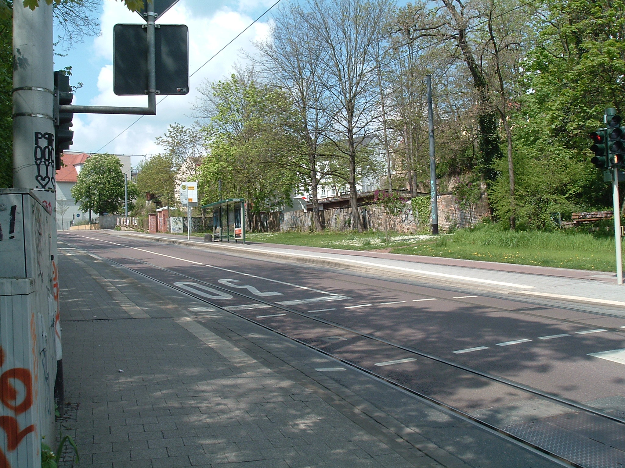
Halle-Kröllwitz
 ⌘
⌘
Burg Giebichenstein
 ⌘
⌘
Station “Talstraße”
 ⌘
⌘
Nostalgic traffic light (including bicycle)

 ⌘
⌘
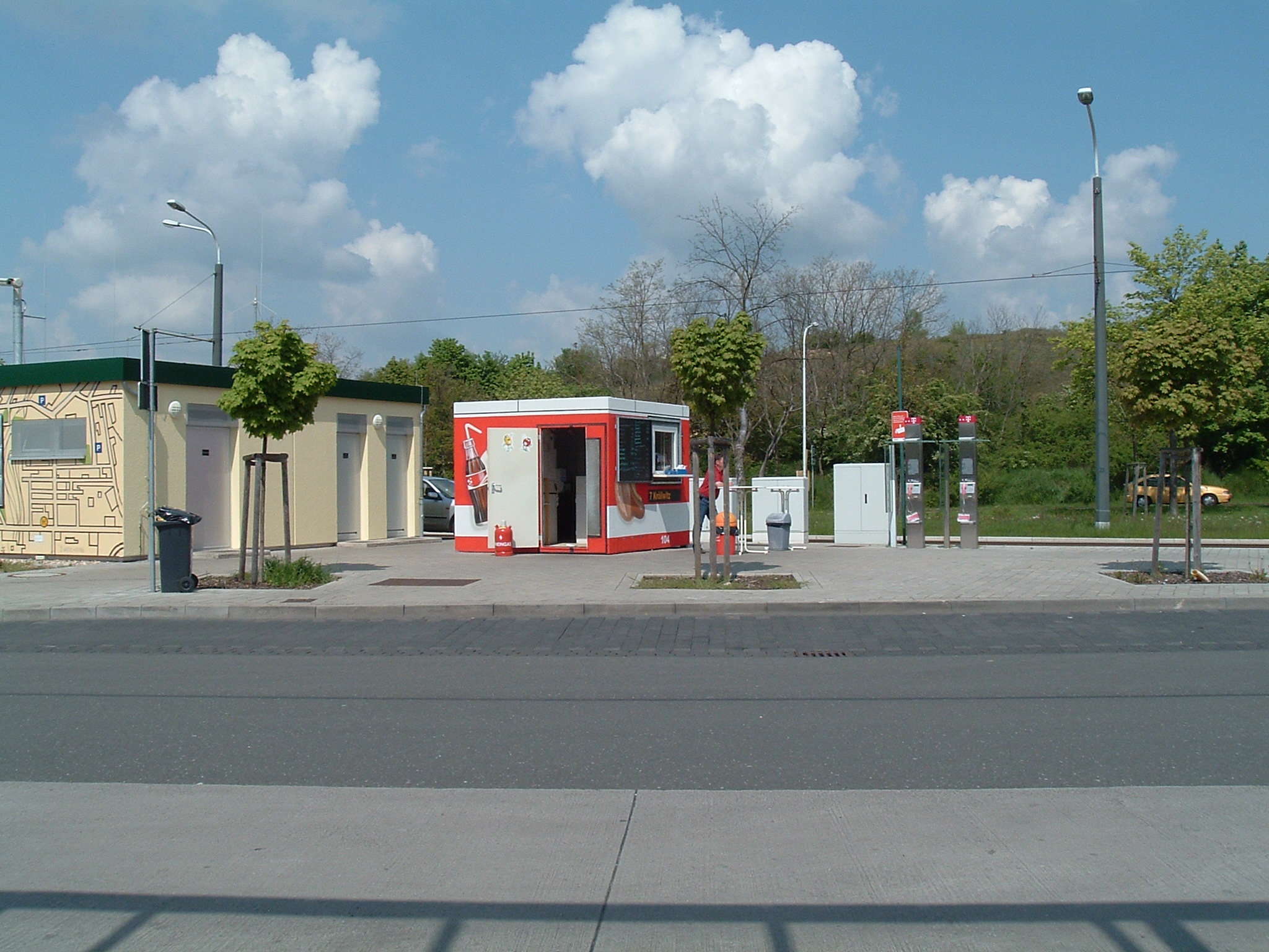
Fastfood box colored like the trams.
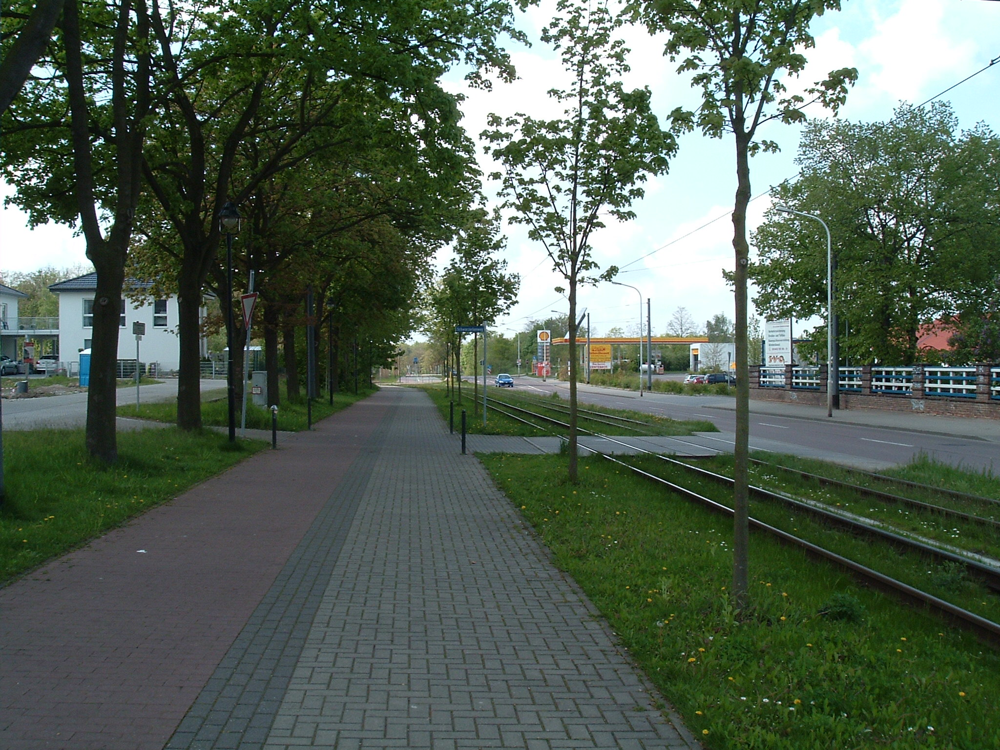
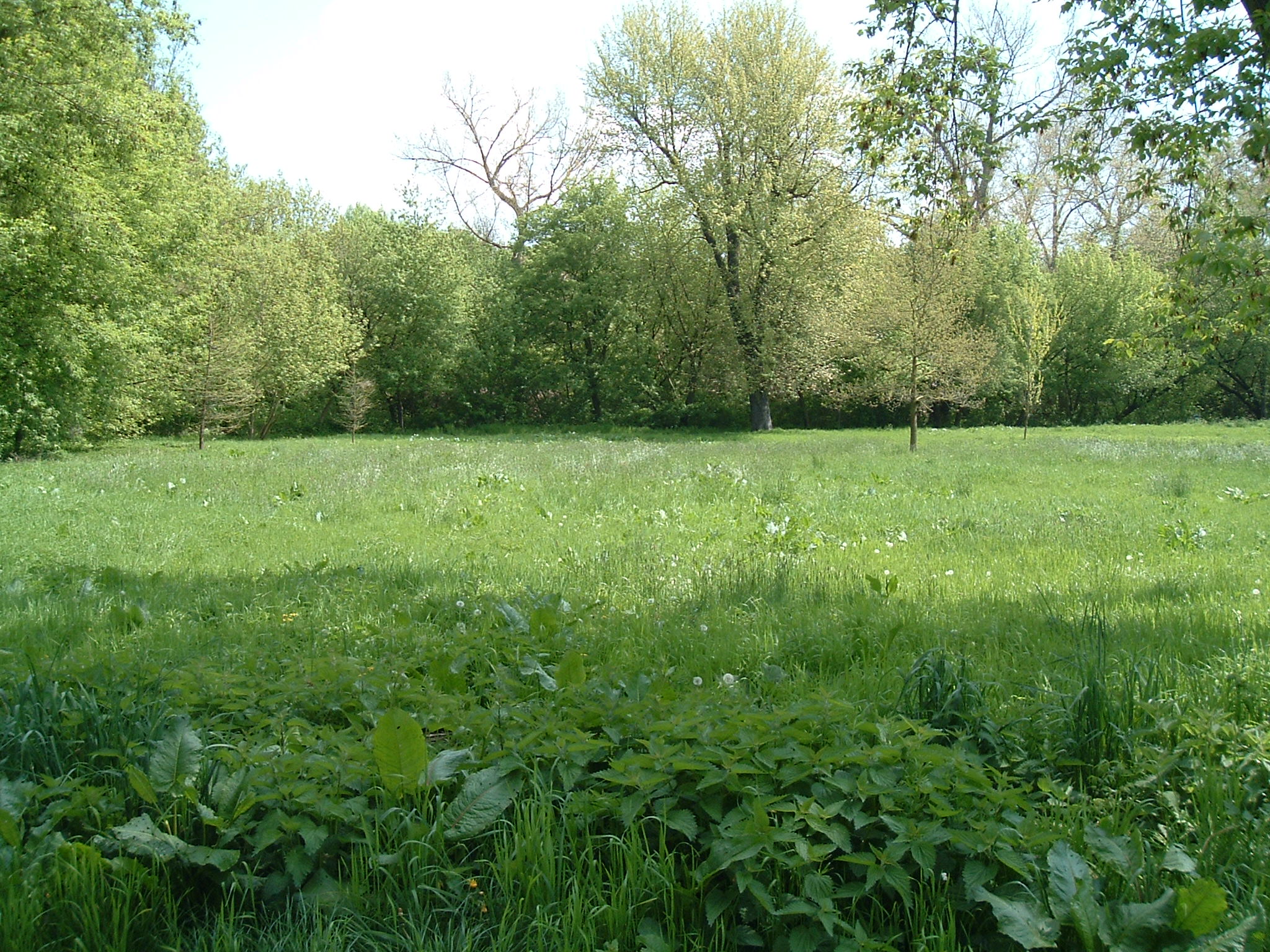
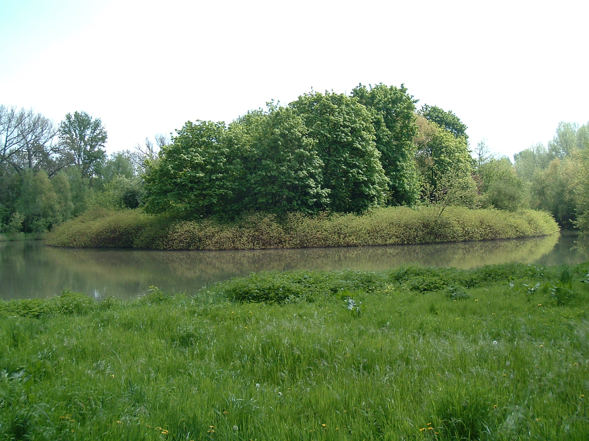
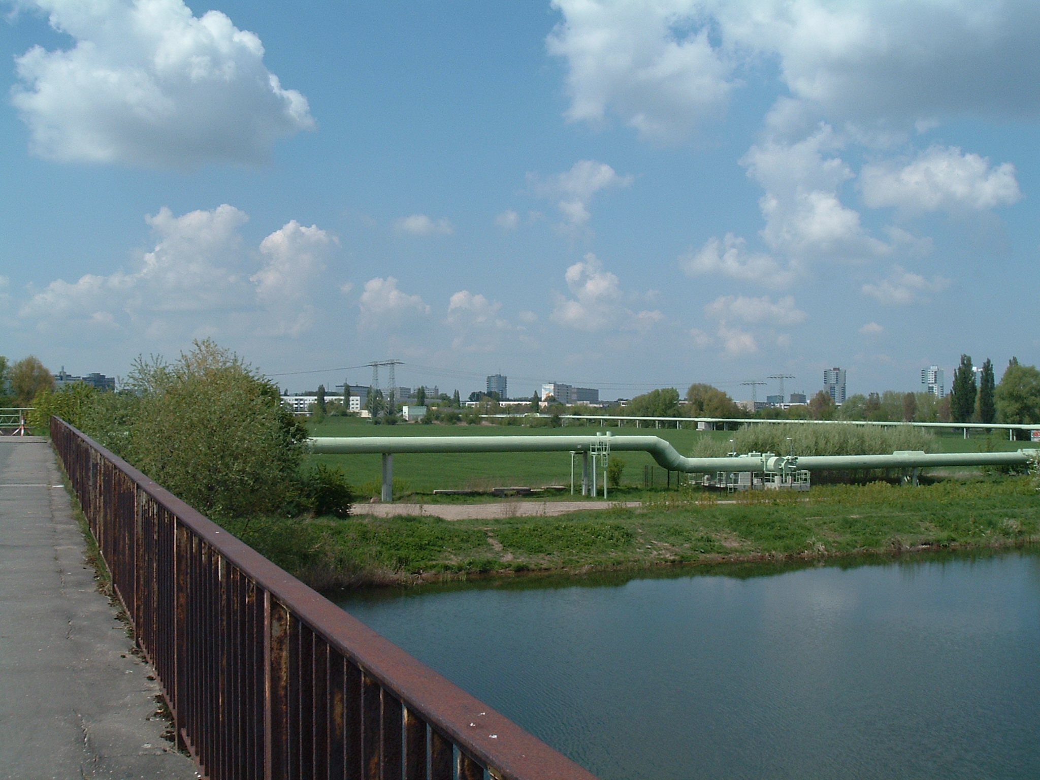
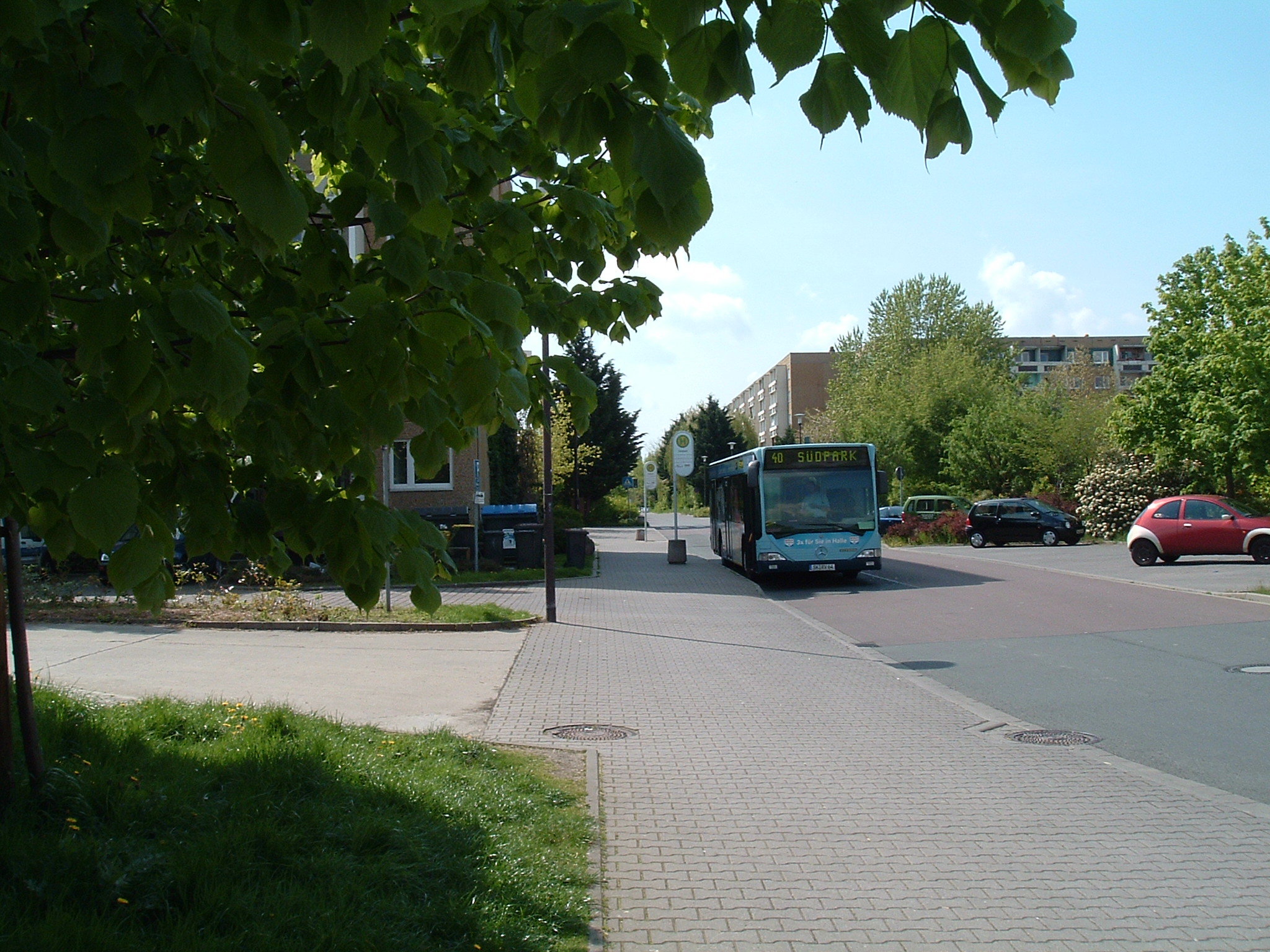
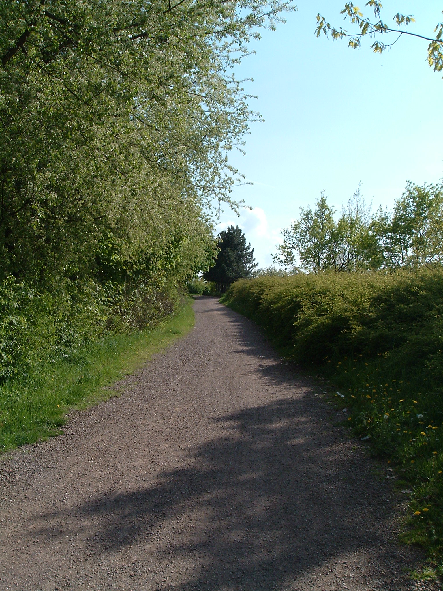
Halle – Rabeninsel/Pulverweide(n) and Südpark
 ⌘
⌘
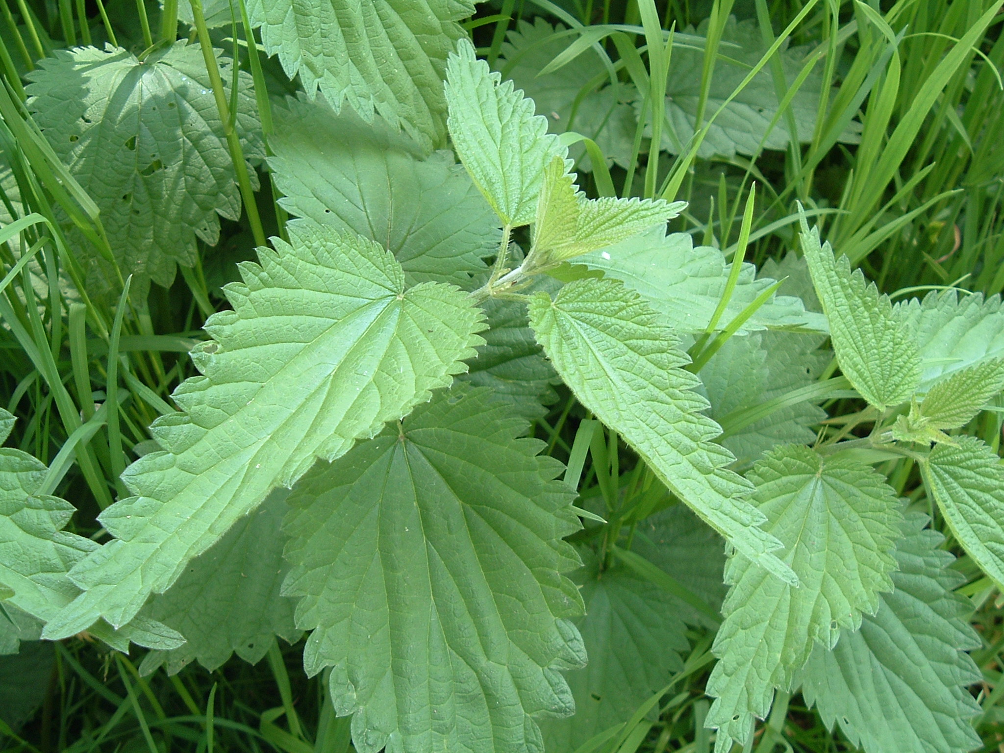
Full view of Urtica dioica
 ⌘
⌘
Macro view of Galium aparine
 ⌘
⌘
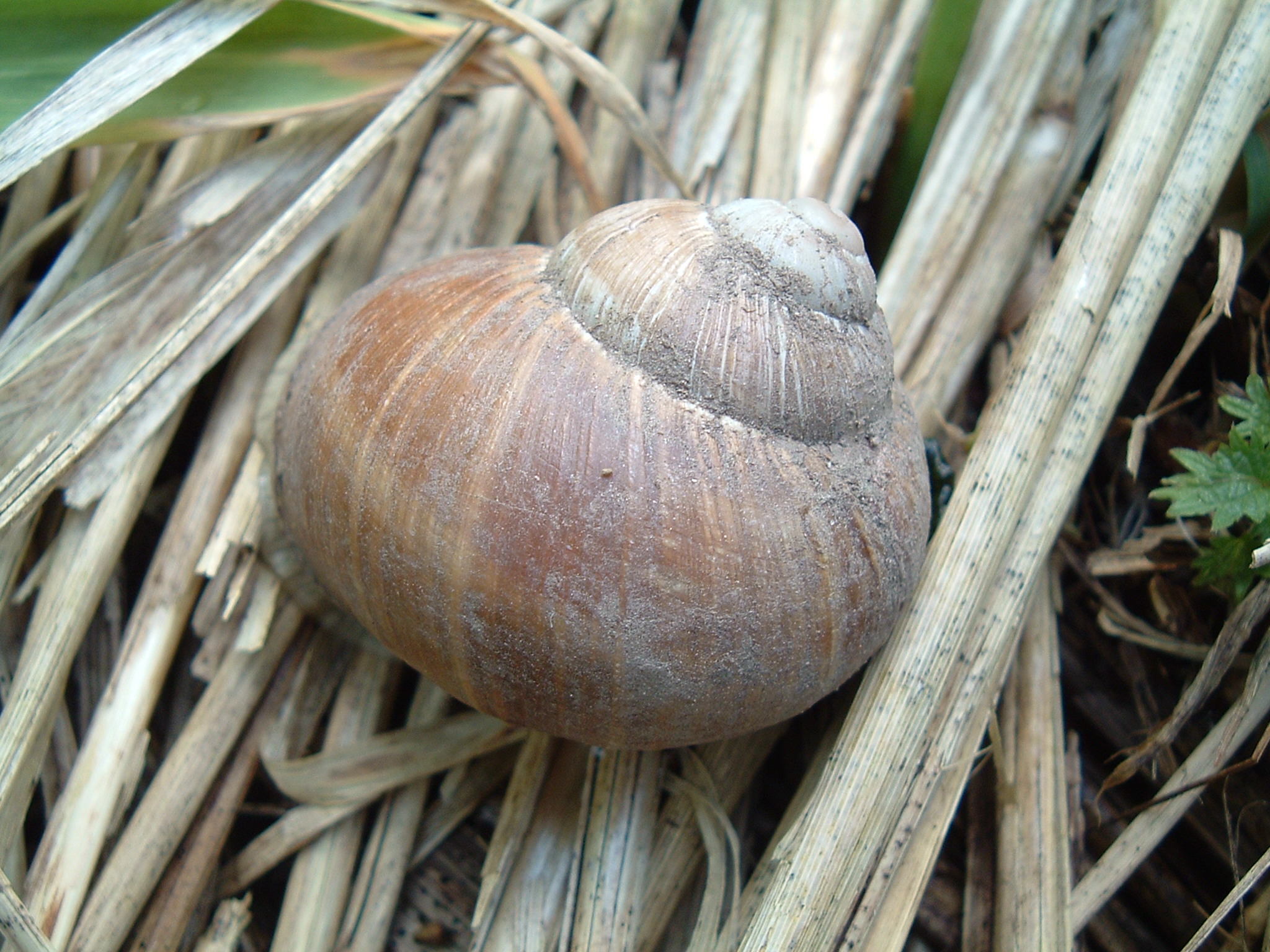
Macro view of a Helix pomatia
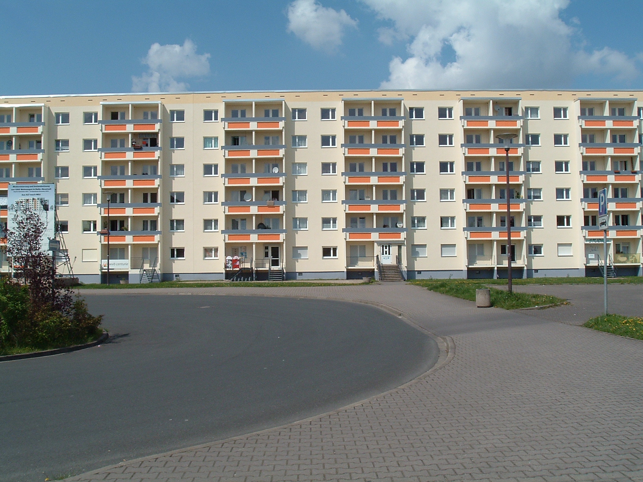
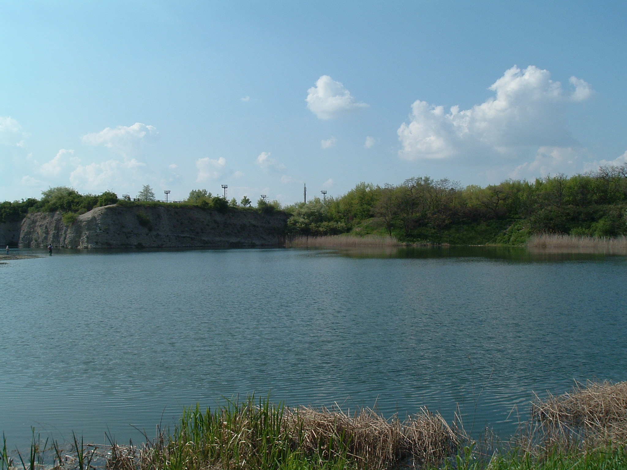
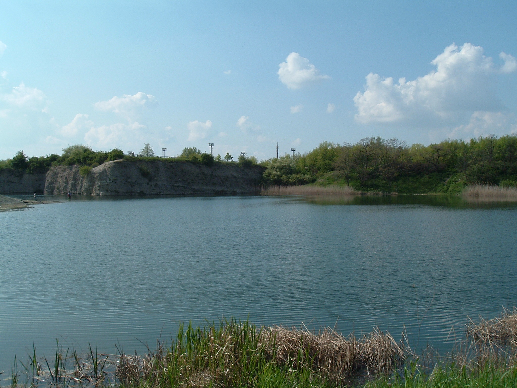
Halle-Neustadt
 ⌘
⌘
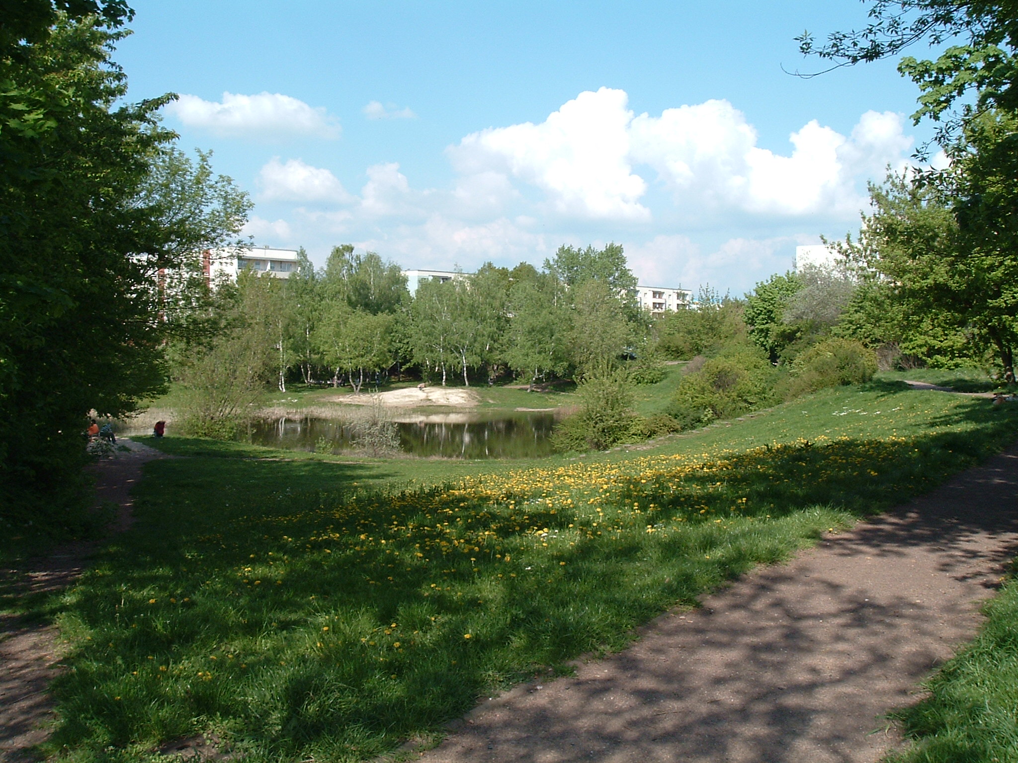
Bruchsee

 ⌘
⌘
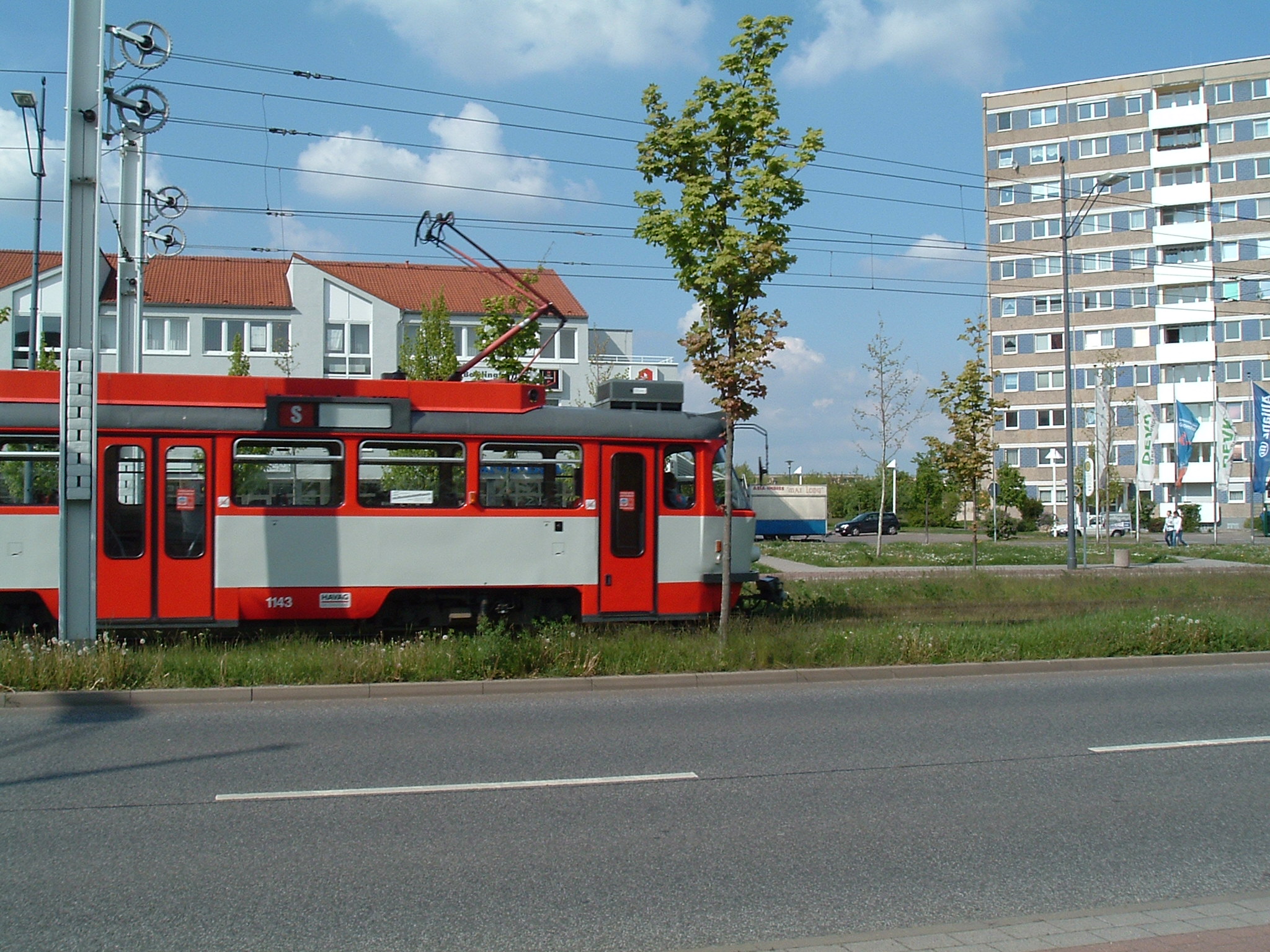
Tatra T4D-C, refurbished 3rd generation (introduced around 2007)

 ⌘
⌘
“Am Kleinen Teich”
 ⌘
⌘
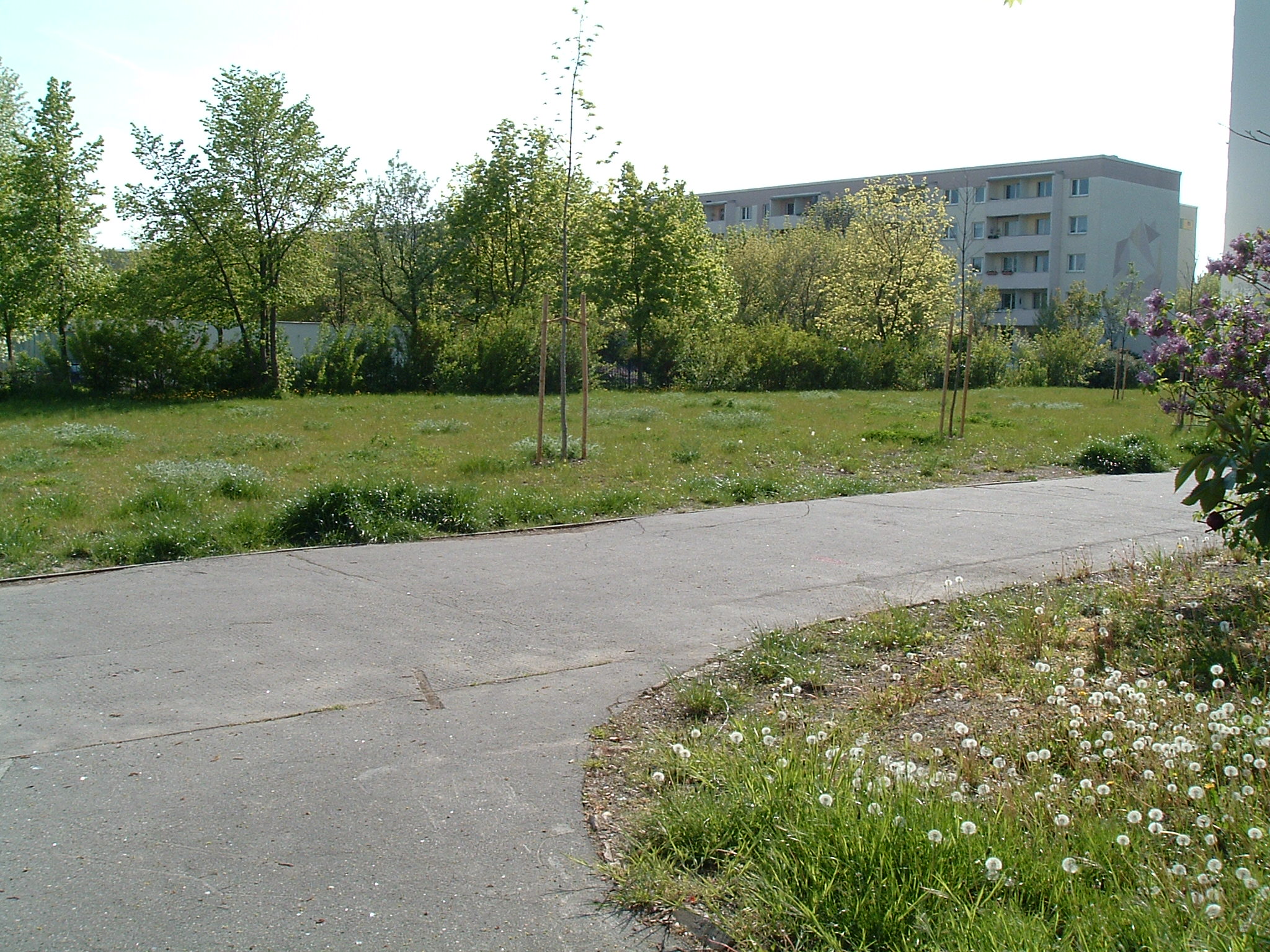
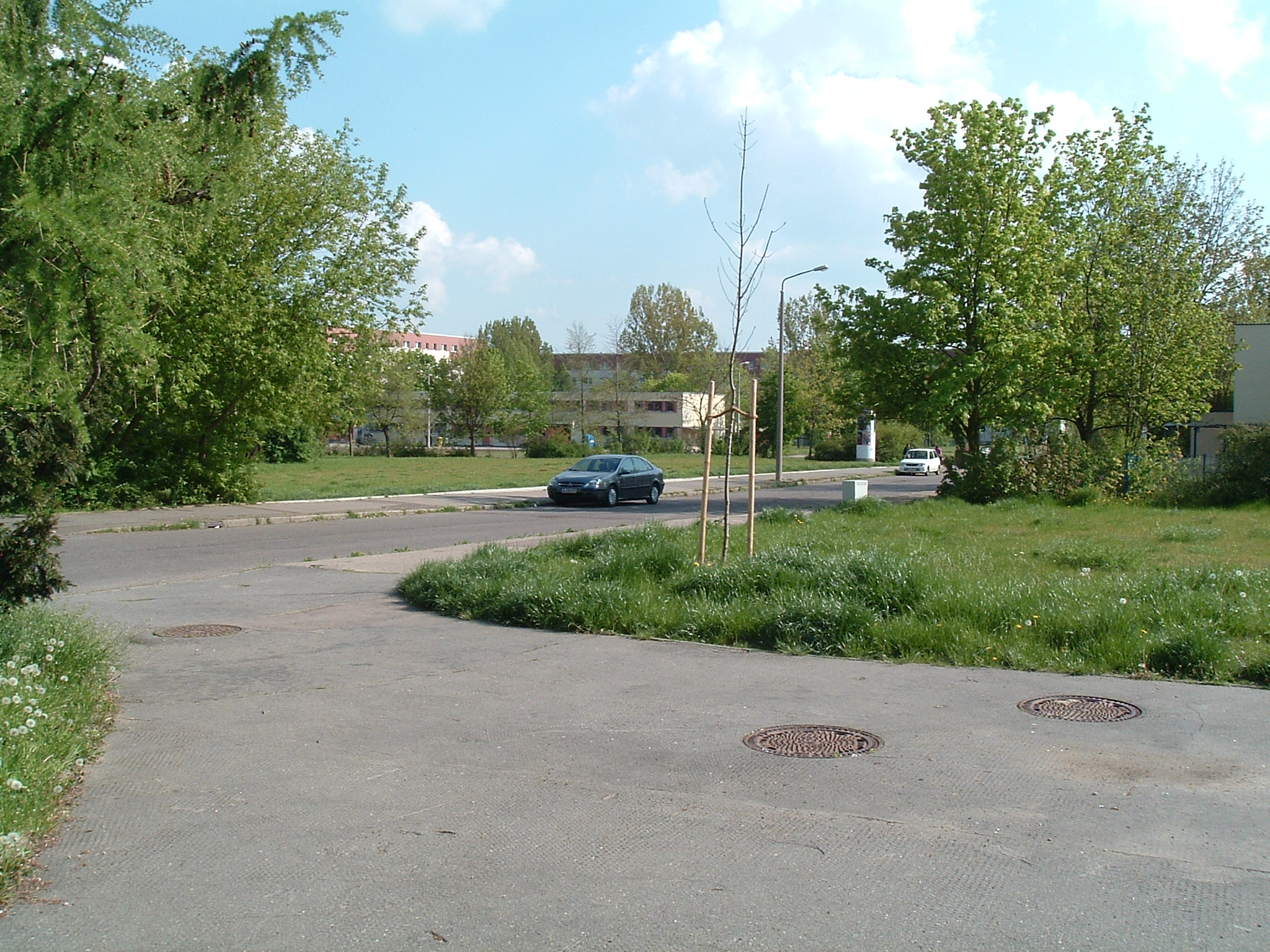
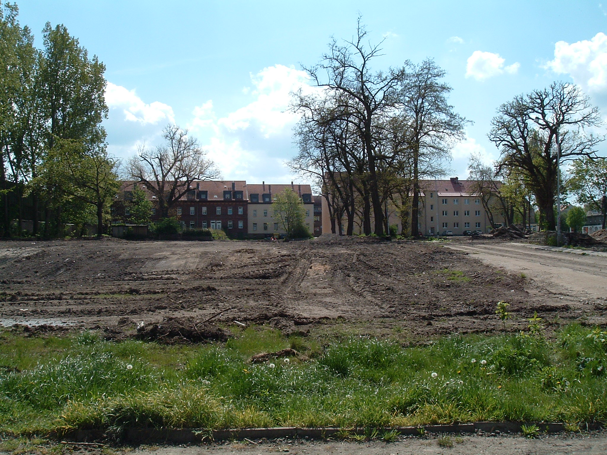
Bulldozed between fall 2007 and May 2008
 ⌘
⌘  ⌘
⌘
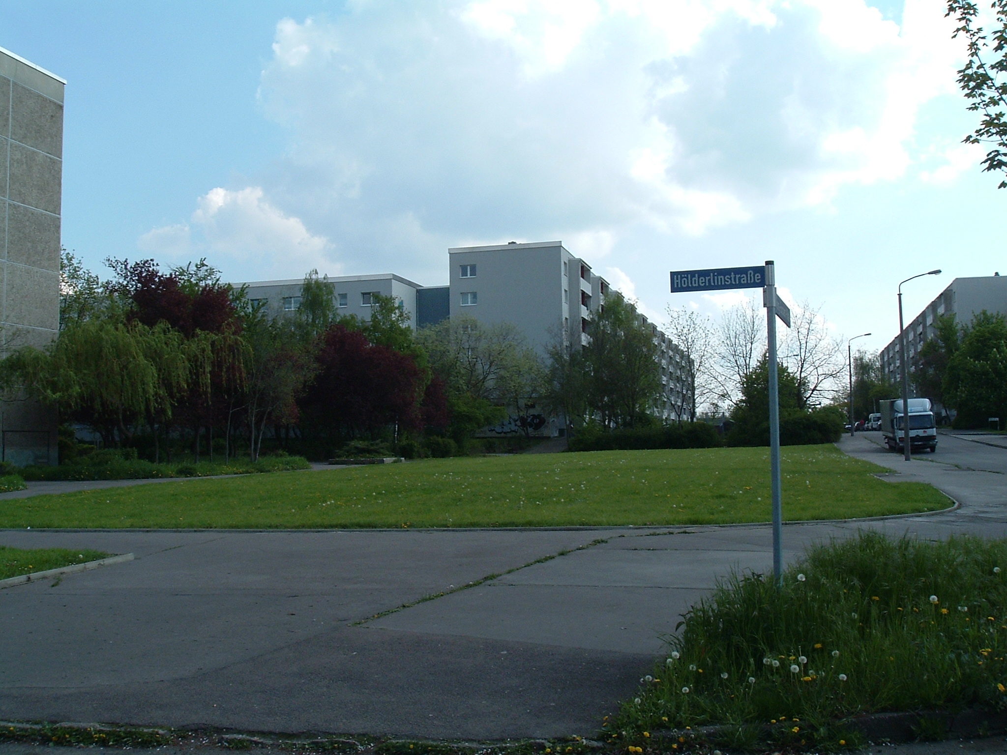
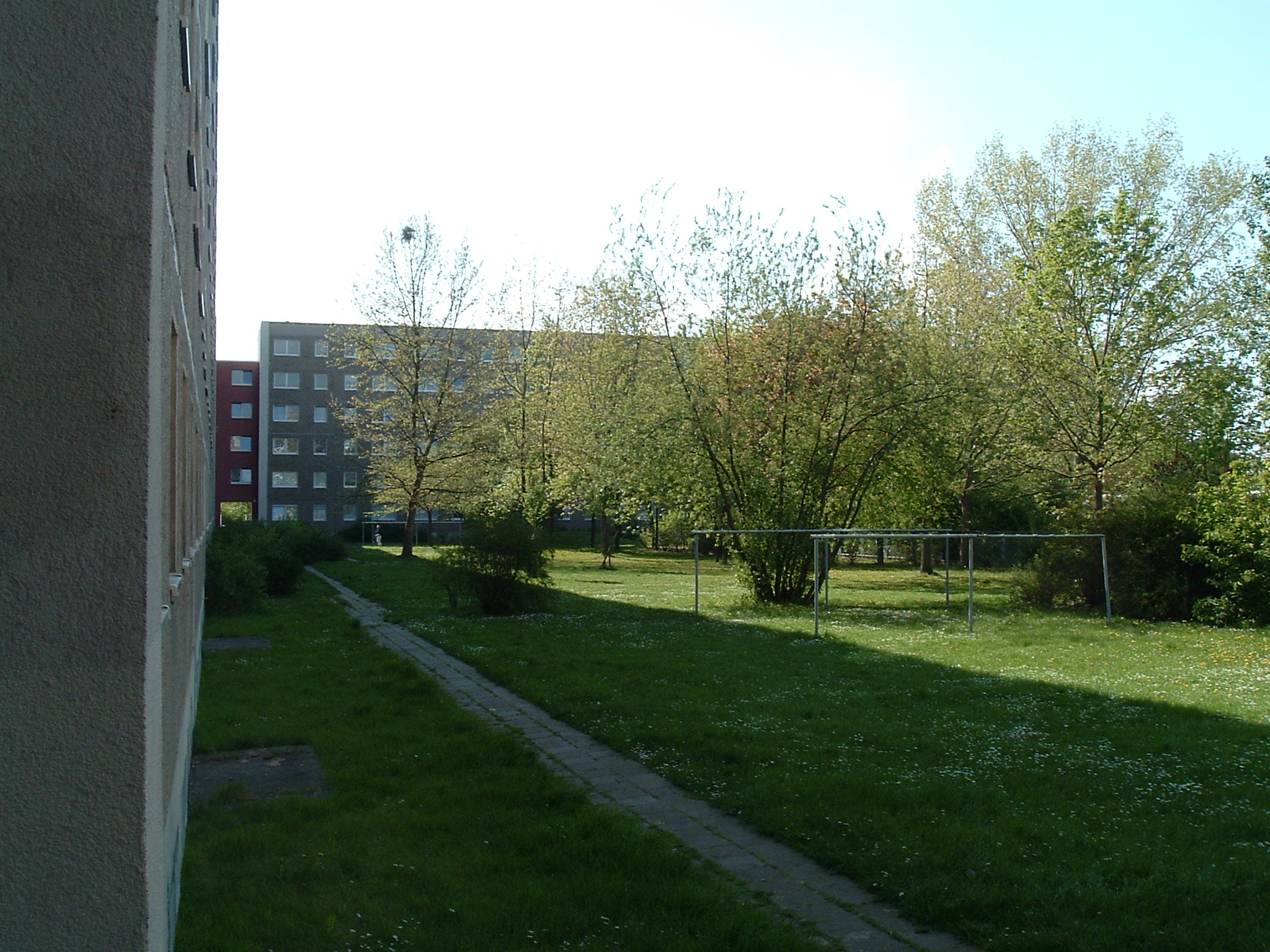
The typical garden-within-4-blocks
 ⌘
⌘
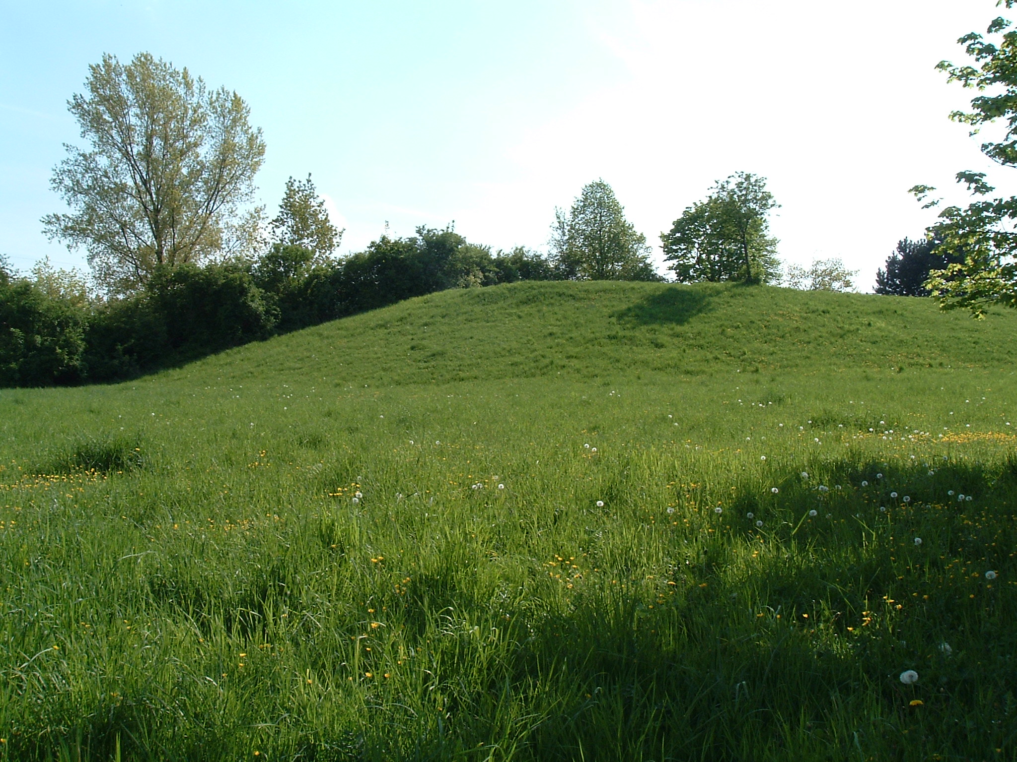
Way up to the “Indianerberg”
 ⌘
⌘
“Indianerberg” – reason for its name is a playground on top (not seen here – I did not bother to go that way)
 ⌘
⌘
Fahrradständer – mal Ostdeutsch
 ⌘
⌘  ⌘
⌘
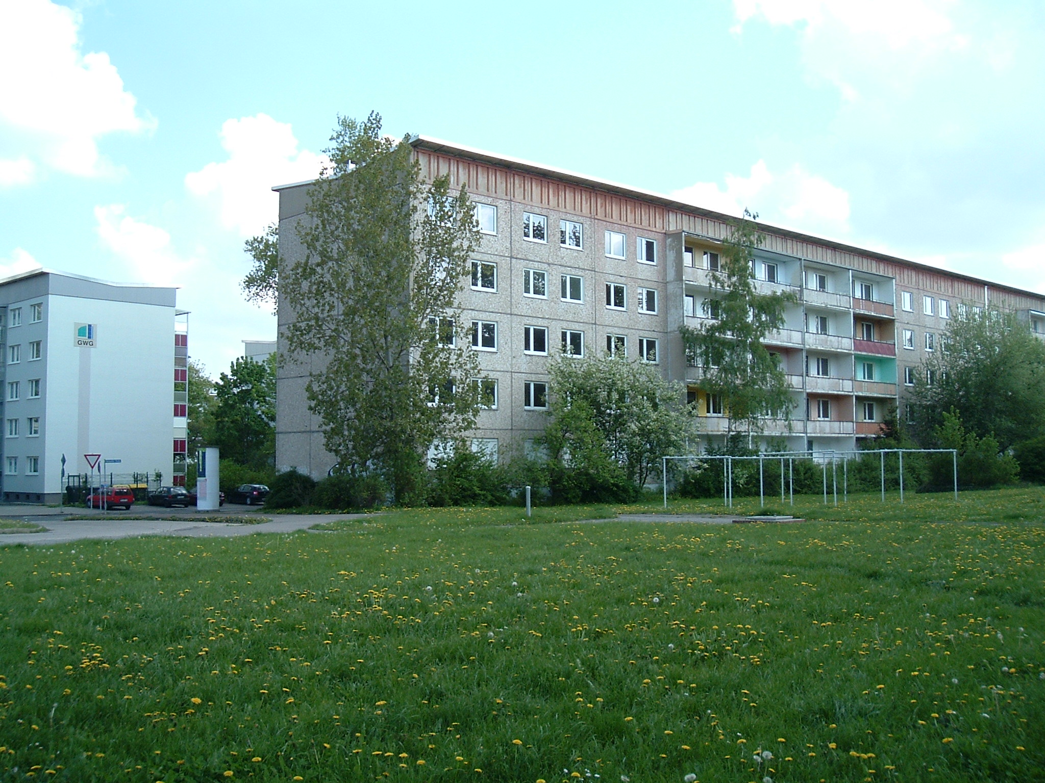
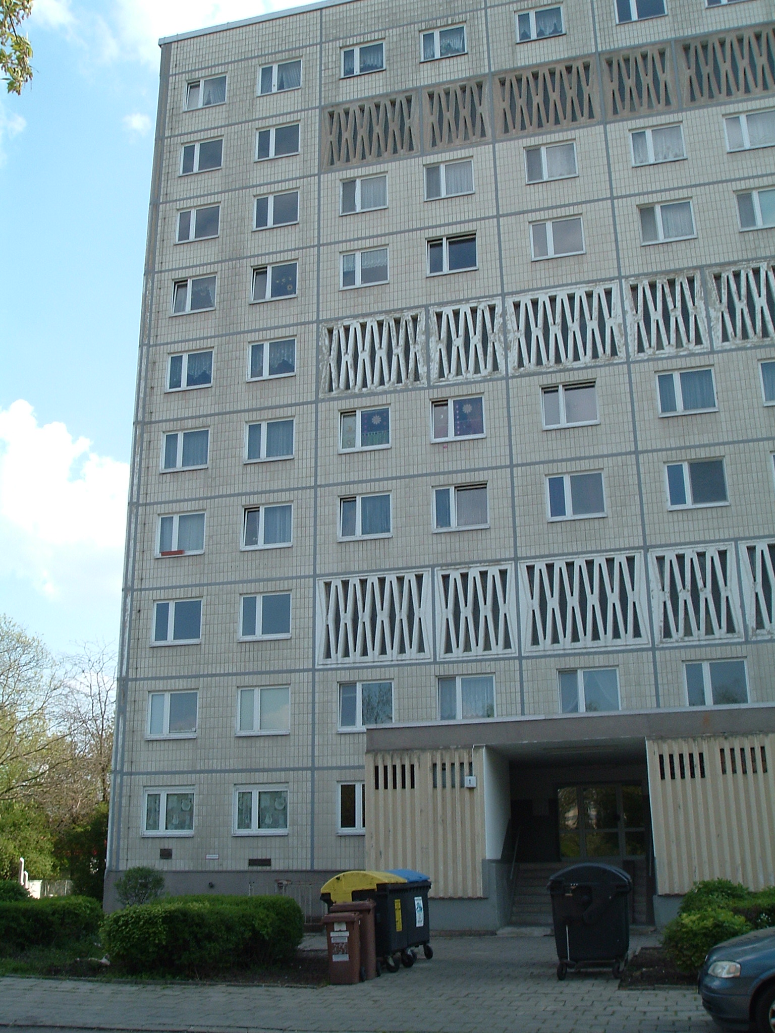
This is how the original non-refurbished blocks look like
 ⌘
⌘
These lucky dudes have WiMAX-based Internet
 ⌘
⌘
(Alte) Einkaufspassage Neustadt
 ⌘
⌘
Am Gastronom
 ⌘
⌘
For the elders
 ⌘
⌘  ⌘
⌘  ⌘
⌘
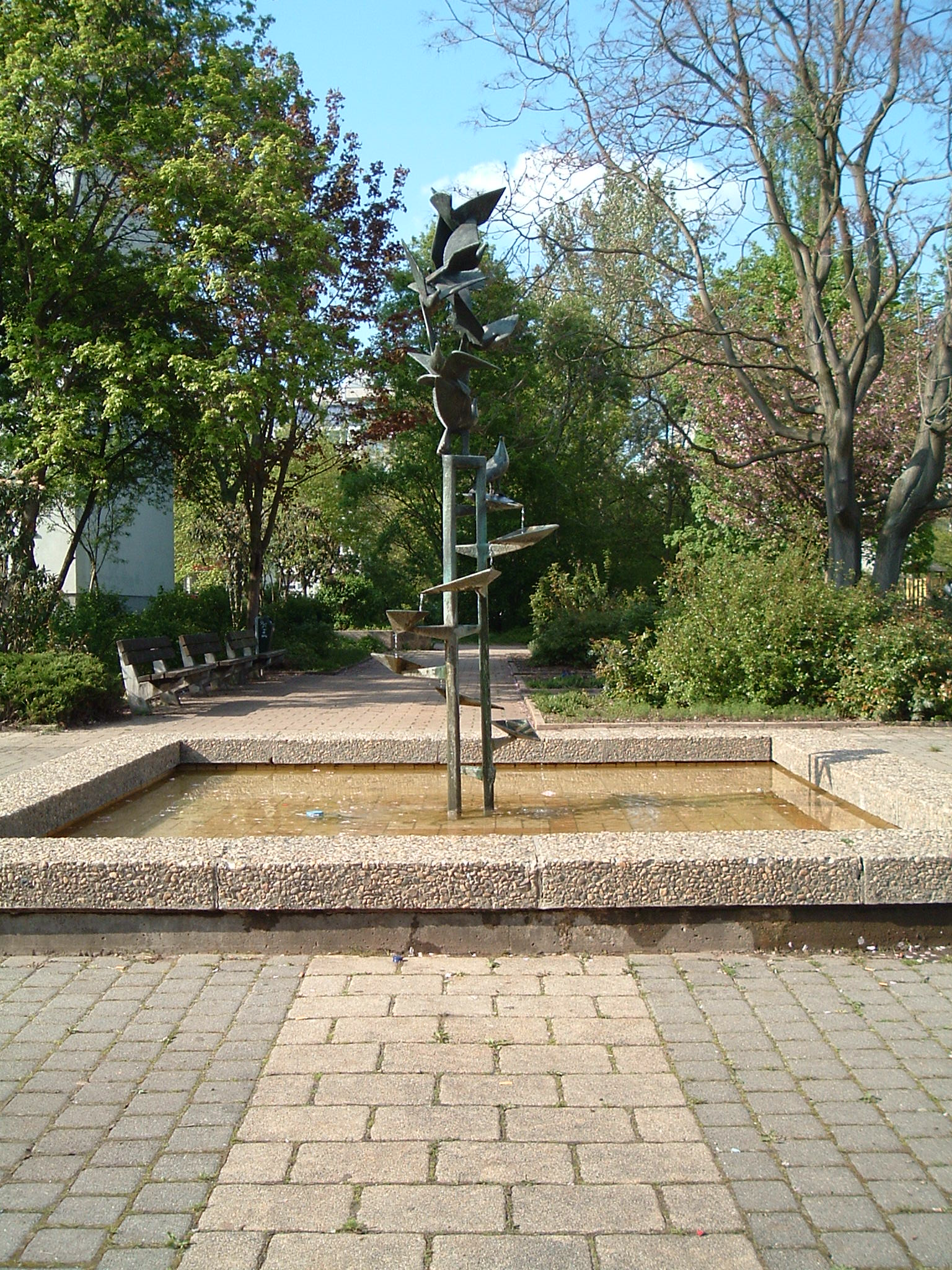
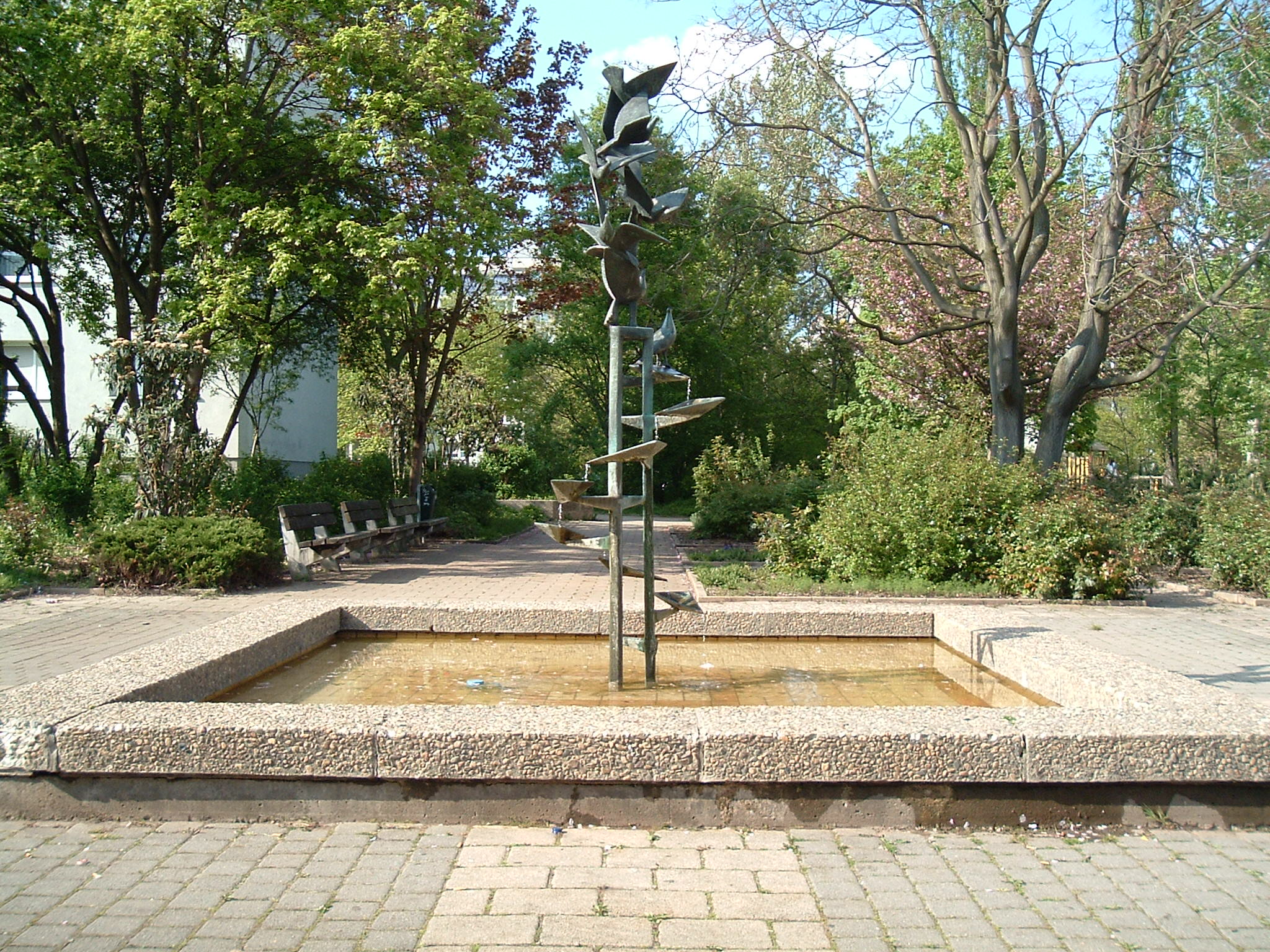
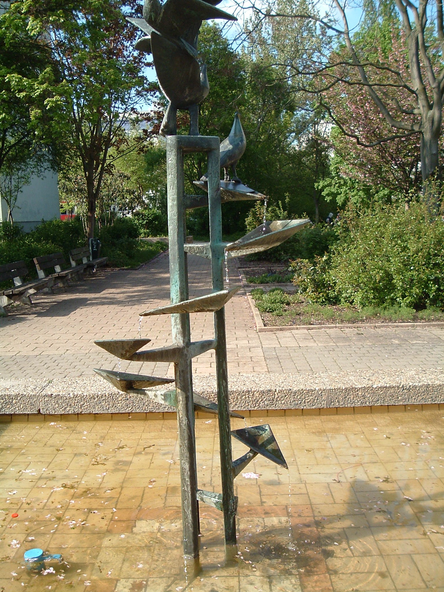
“Taubenbrunnen”, it is even in operation today!
 ⌘
⌘
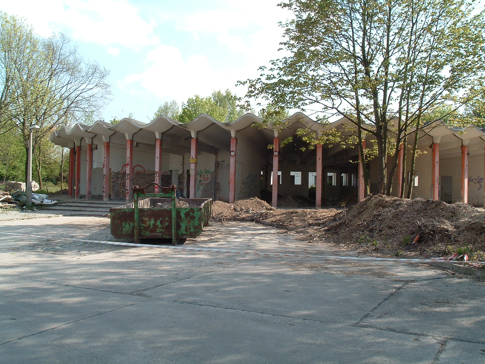
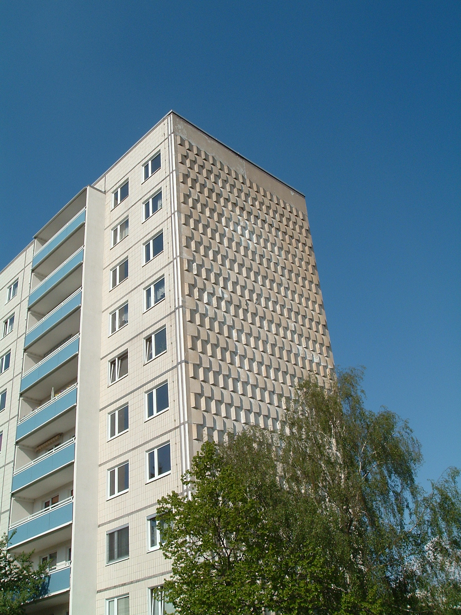
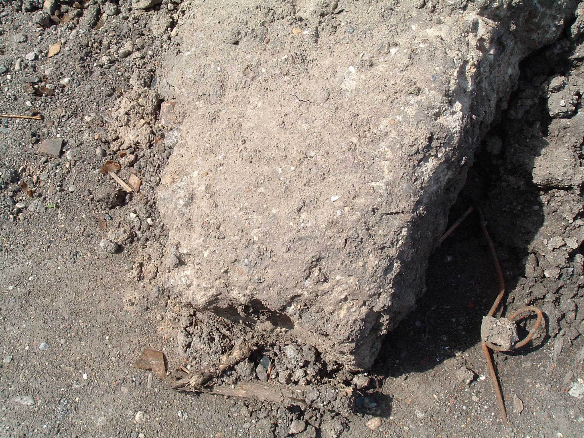
The buildings' concrete already collapses by itself (“quick” concrete only holds for 40-50 years; this was built in the 1960s)
 ⌘
⌘
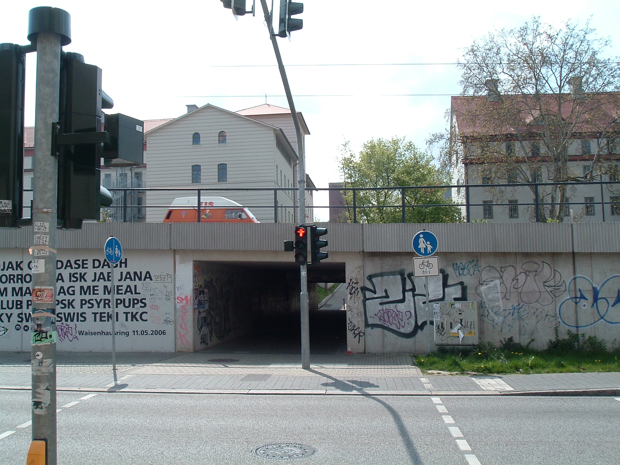
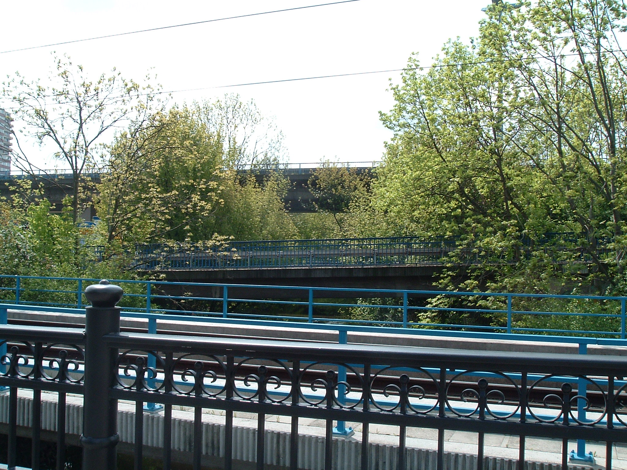
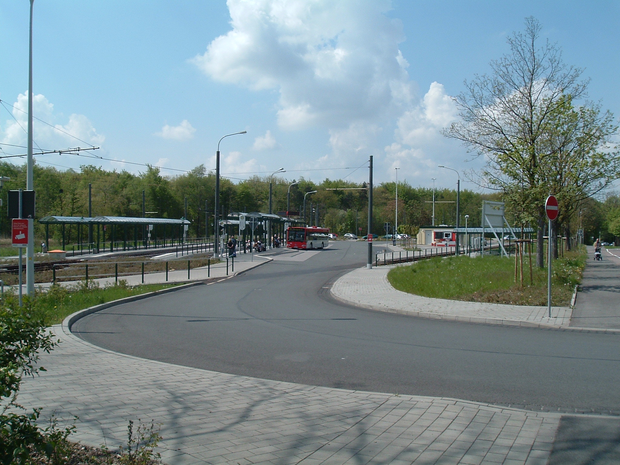
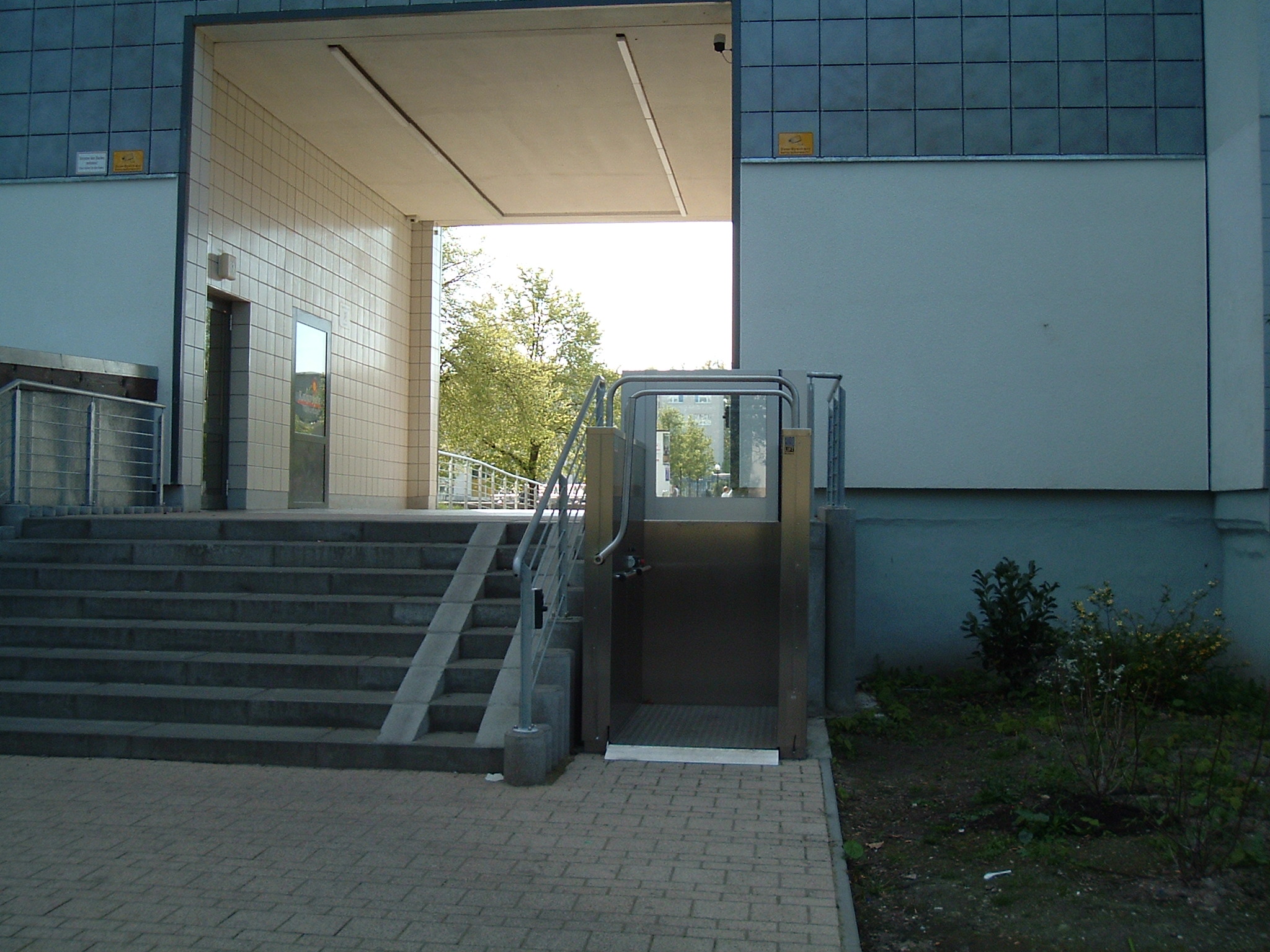
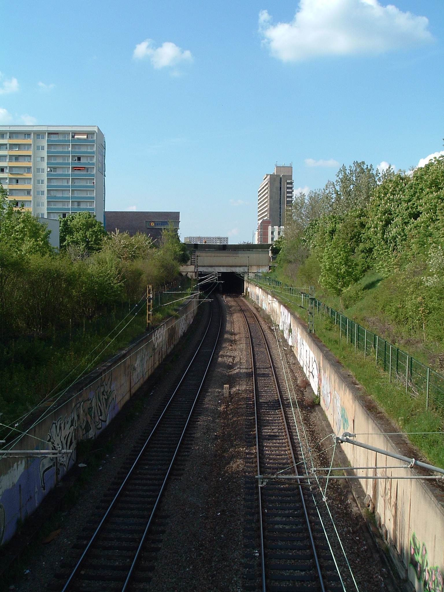
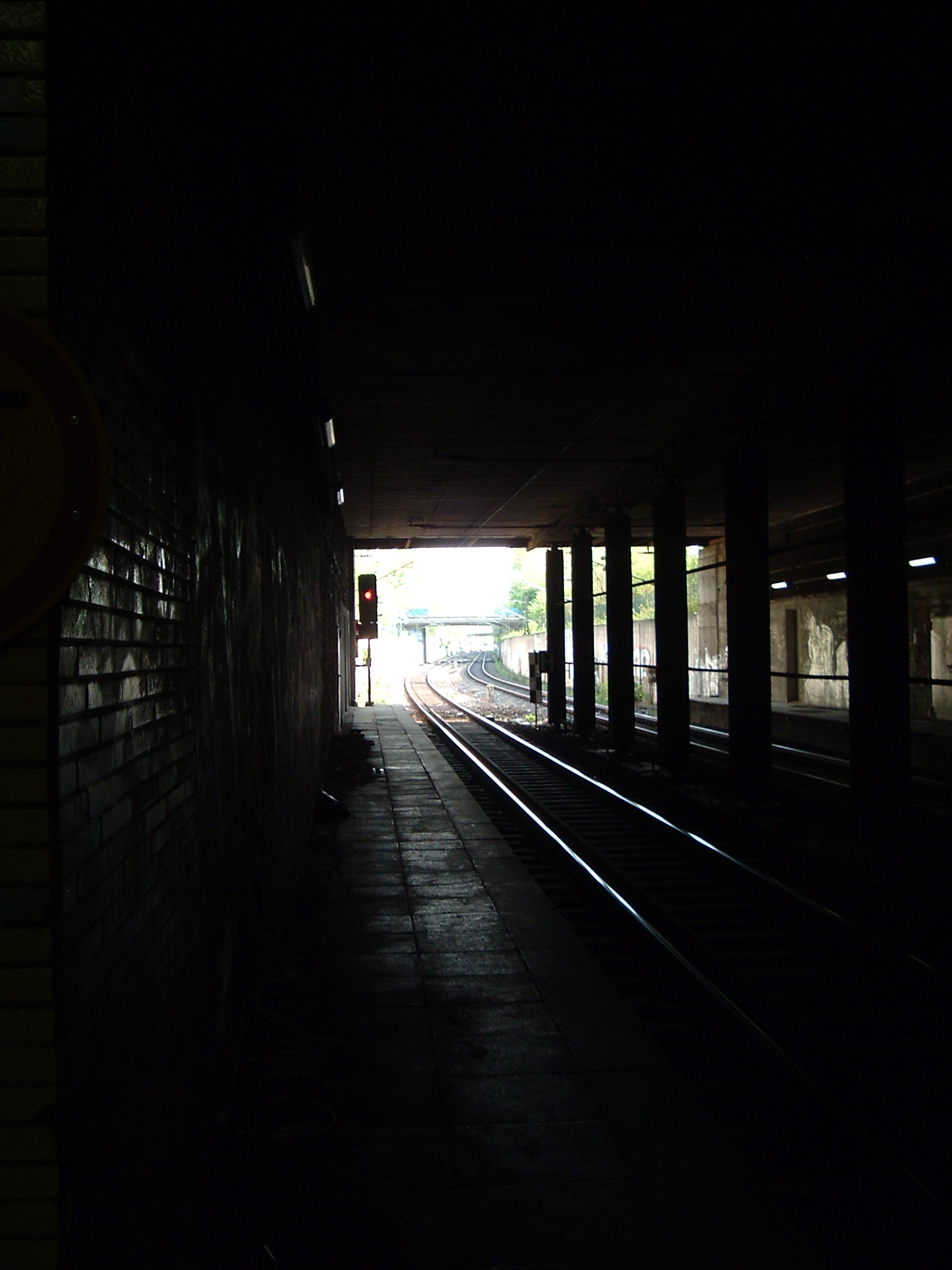
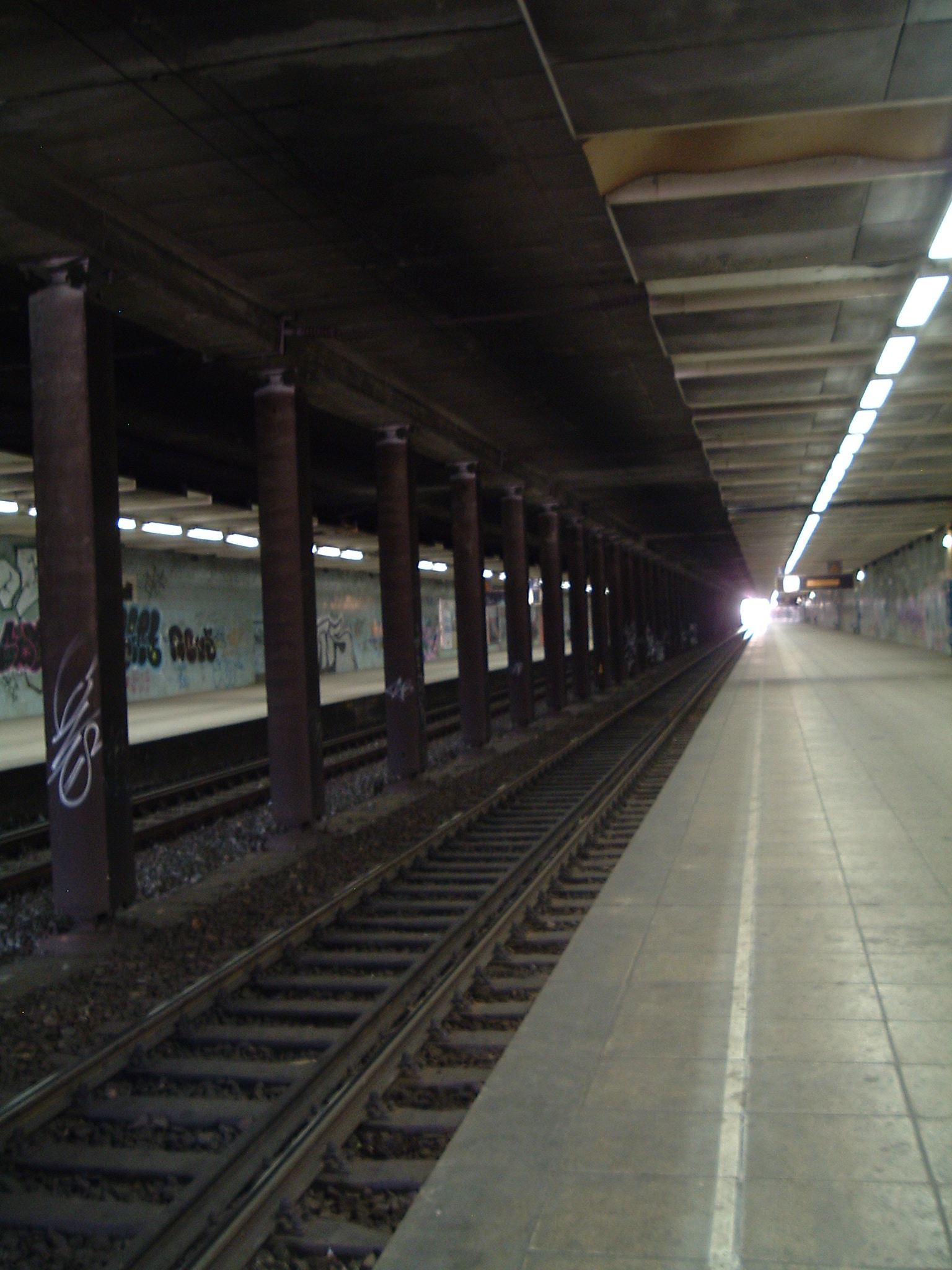
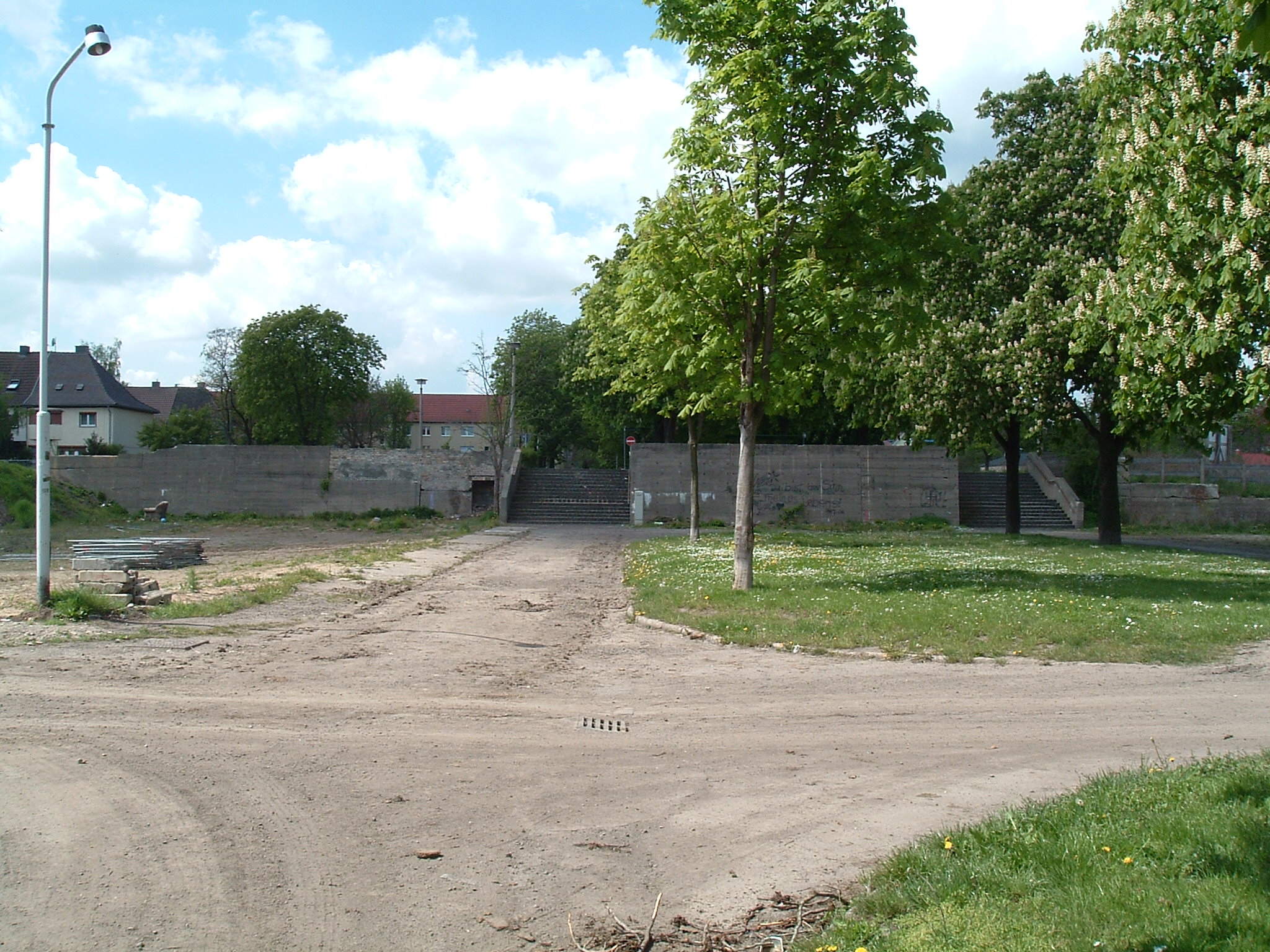
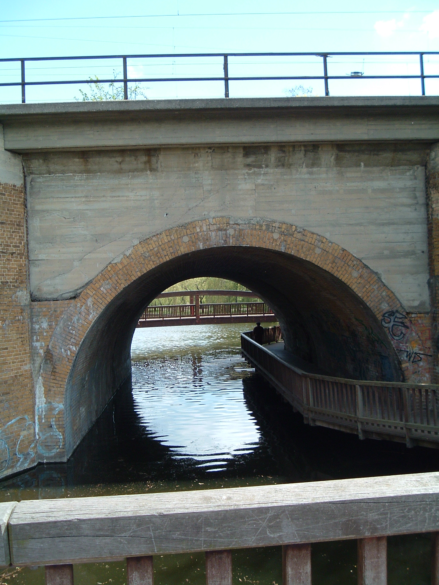
Entrance to the “Tunnelbahnhof” (subterranean station)
 ⌘
⌘  ⌘
⌘
View from the station southwards and northwards. Built like an air raid shelter.
 ⌘
⌘
“Morgens halb 10 in Deutschland...”
More places
Local time: 17:16. Distance ahead: 0.83 km
 ⌘
⌘
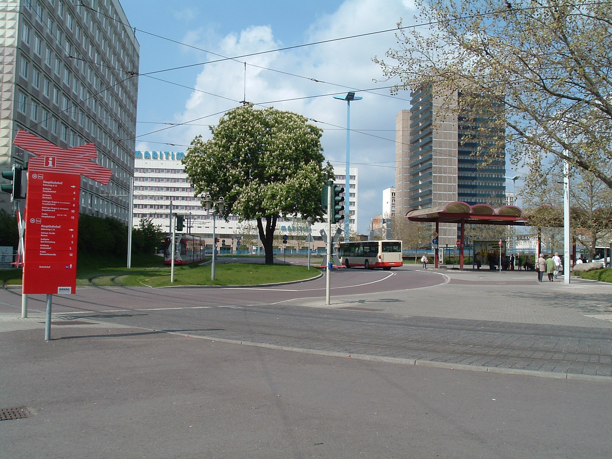
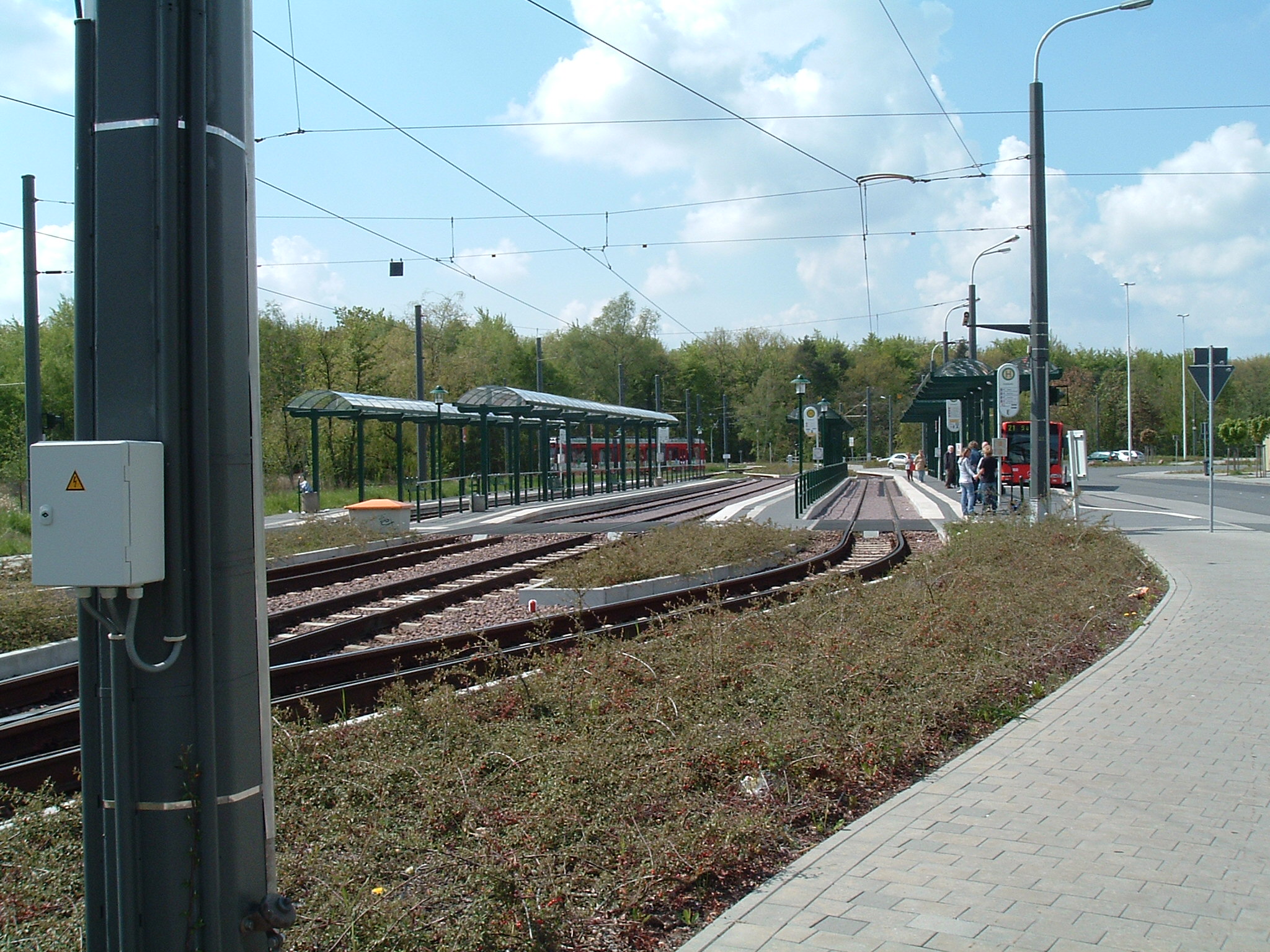
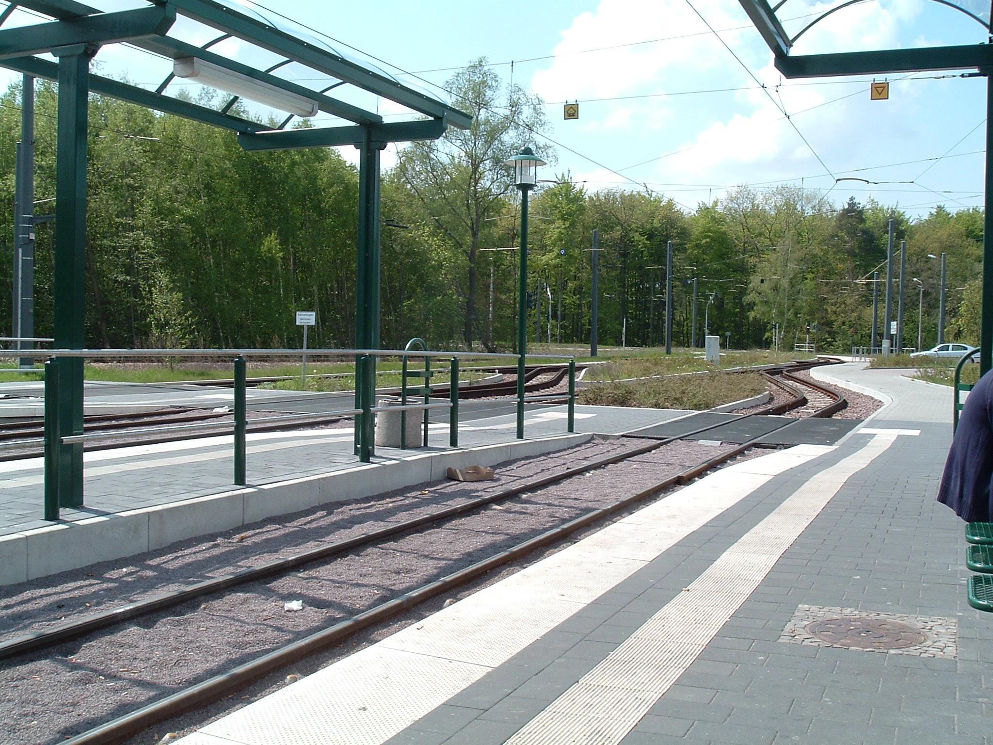
Tatra T3/T4D tramcar at Riebeckplatz station
 ⌘
⌘
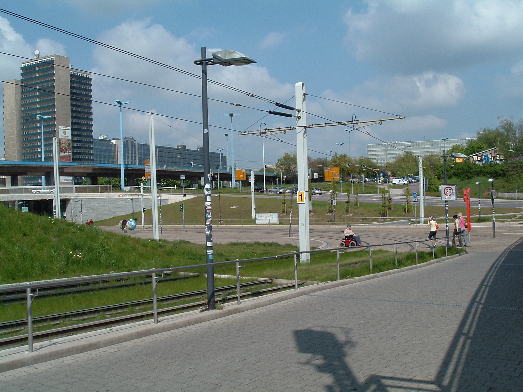
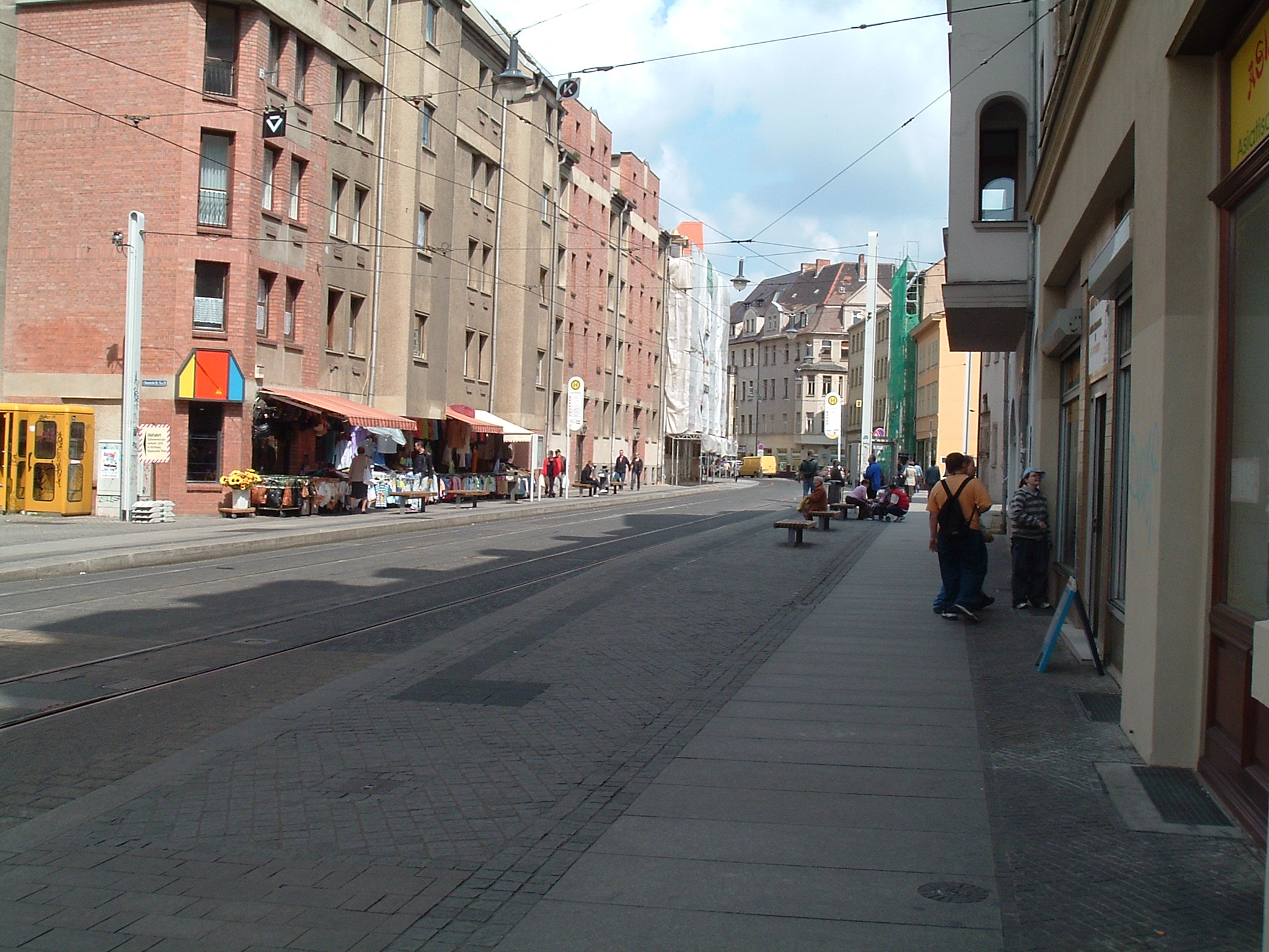
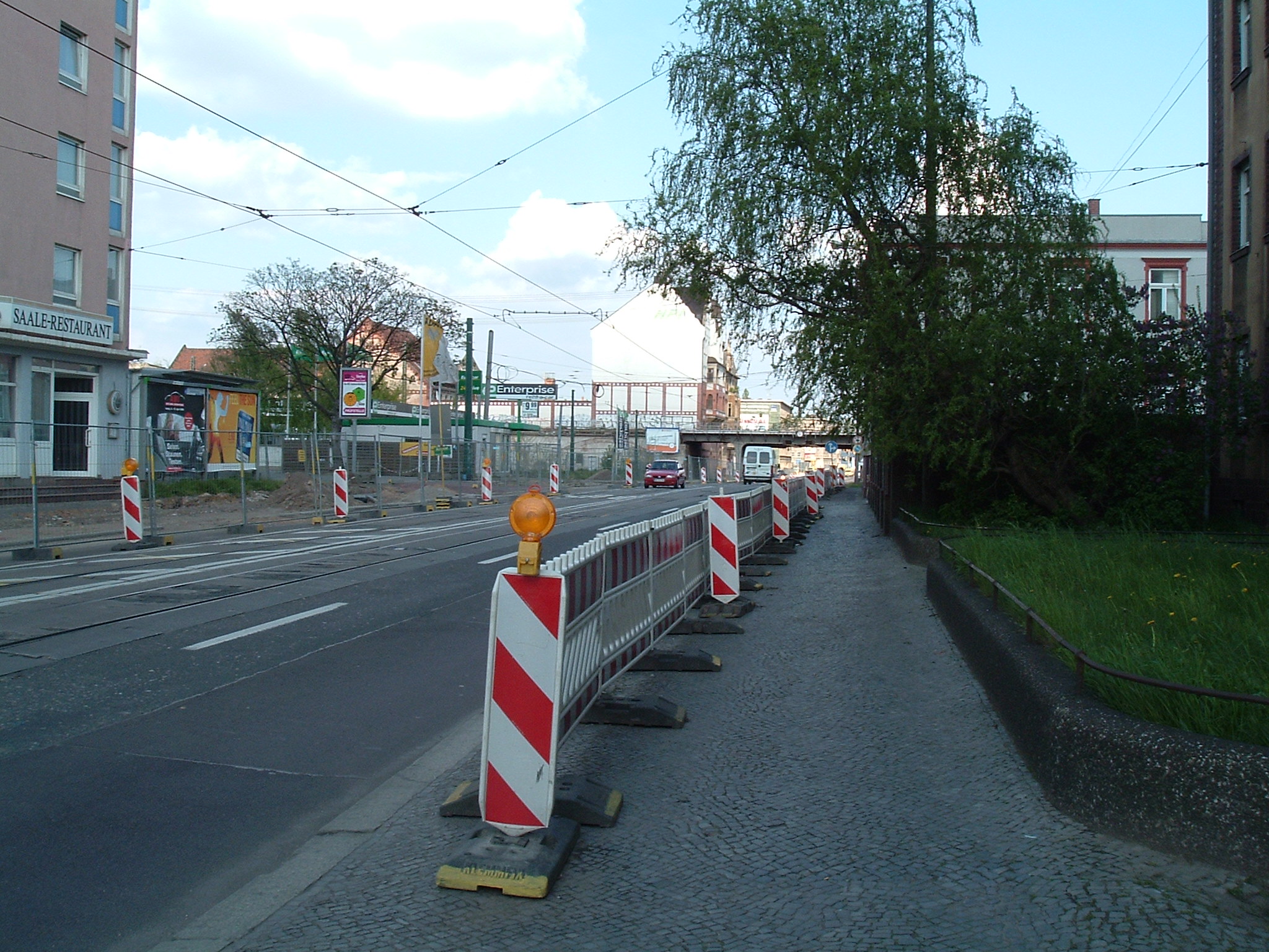
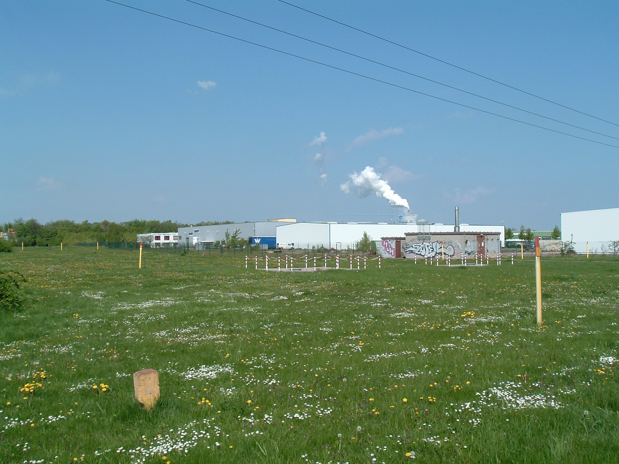
Still lots of construction here
 ⌘
⌘
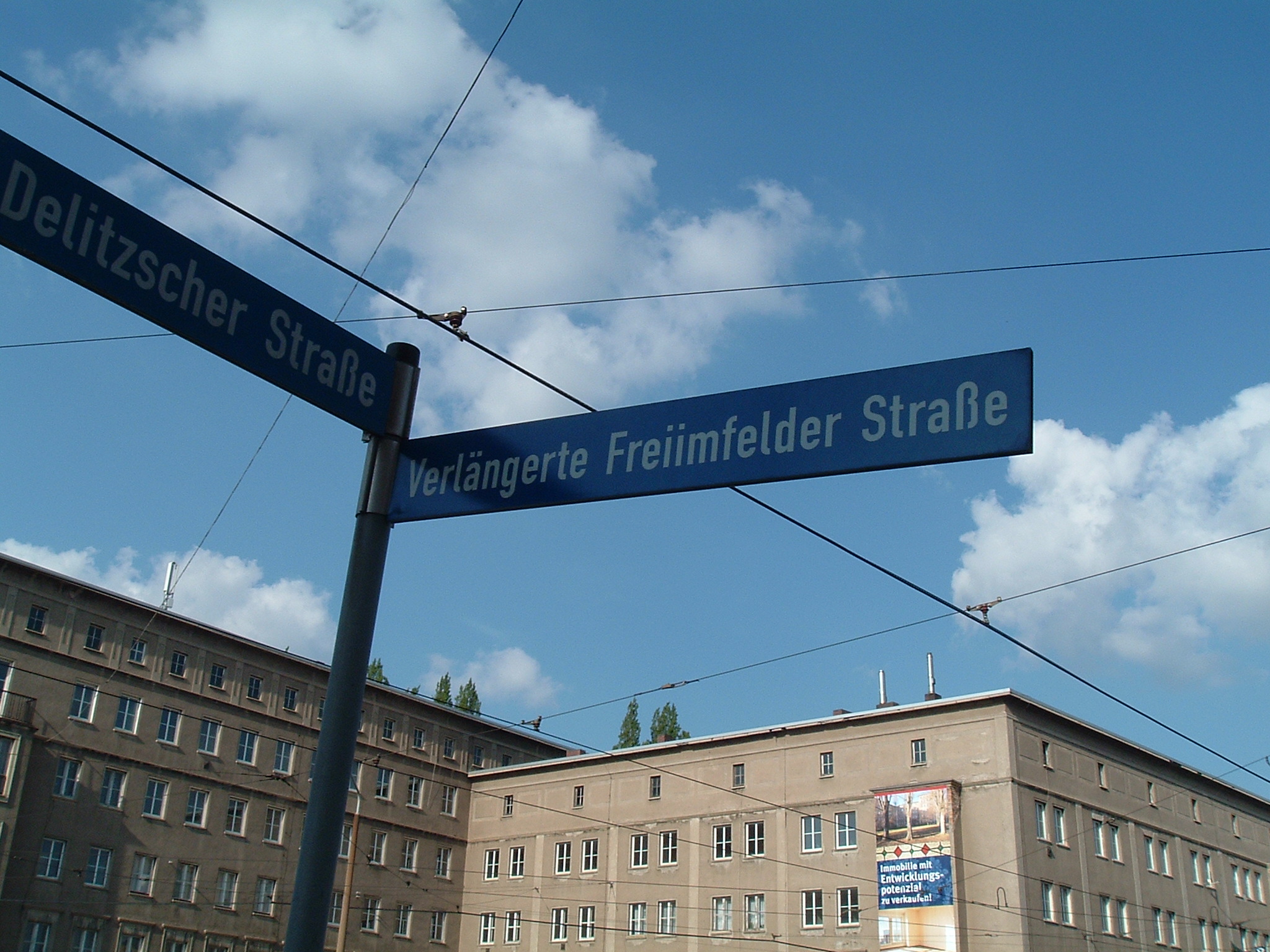
Don't know what to call your street names? Just prepend “verlängerte” (enlonged) and...
 ⌘
⌘
Hubertusplatz, “Heide” station
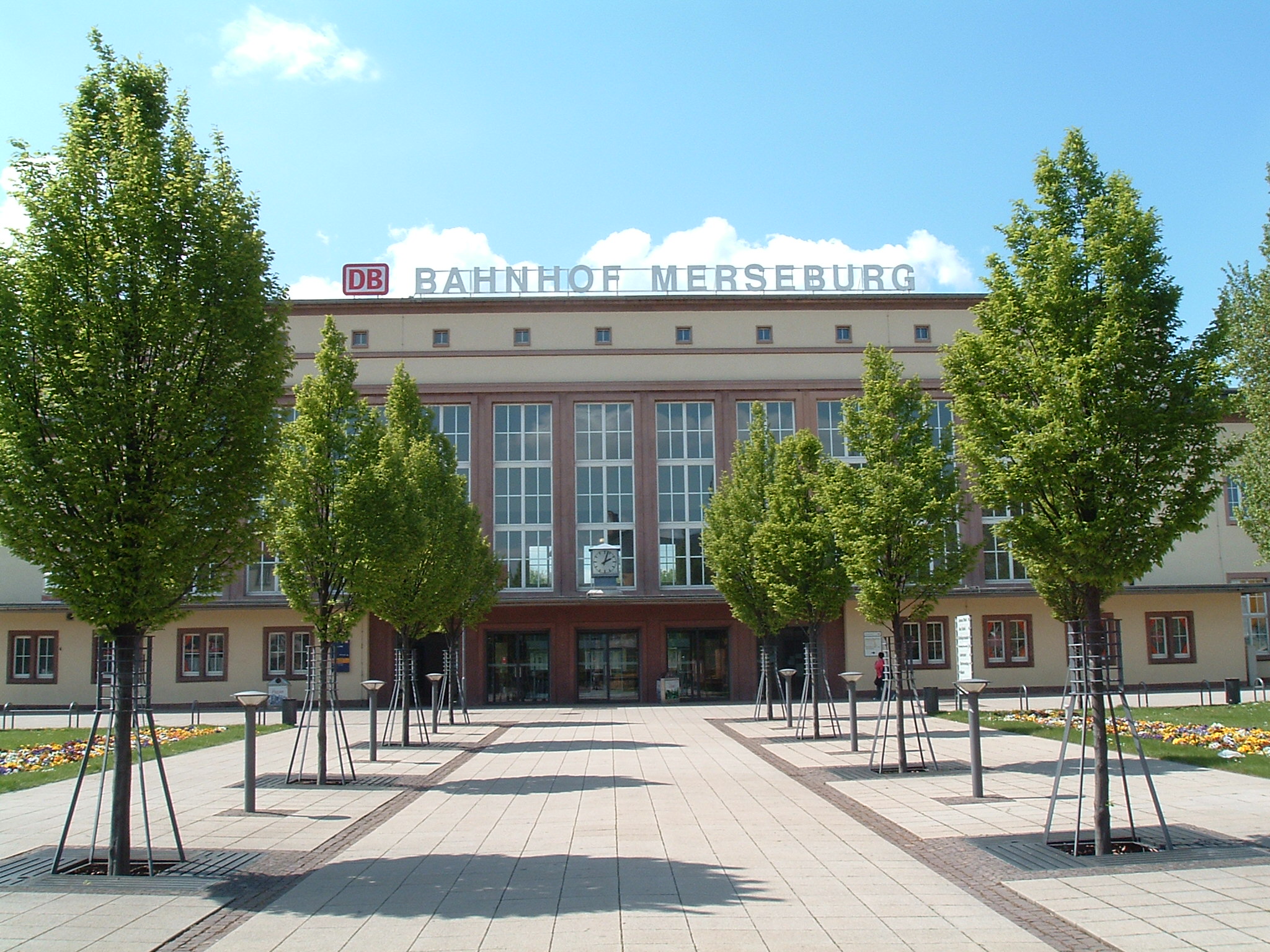
Merseburg, 2008-05-04
 ⌘
⌘  ⌘
⌘  ⌘
⌘  ⌘
⌘
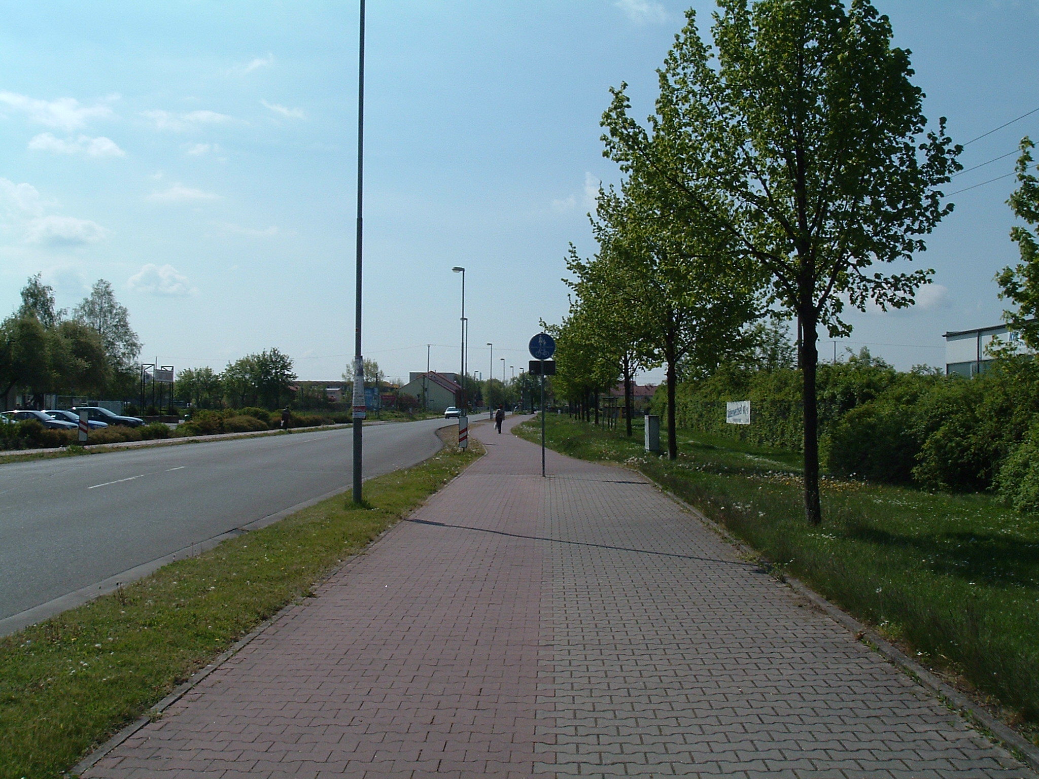
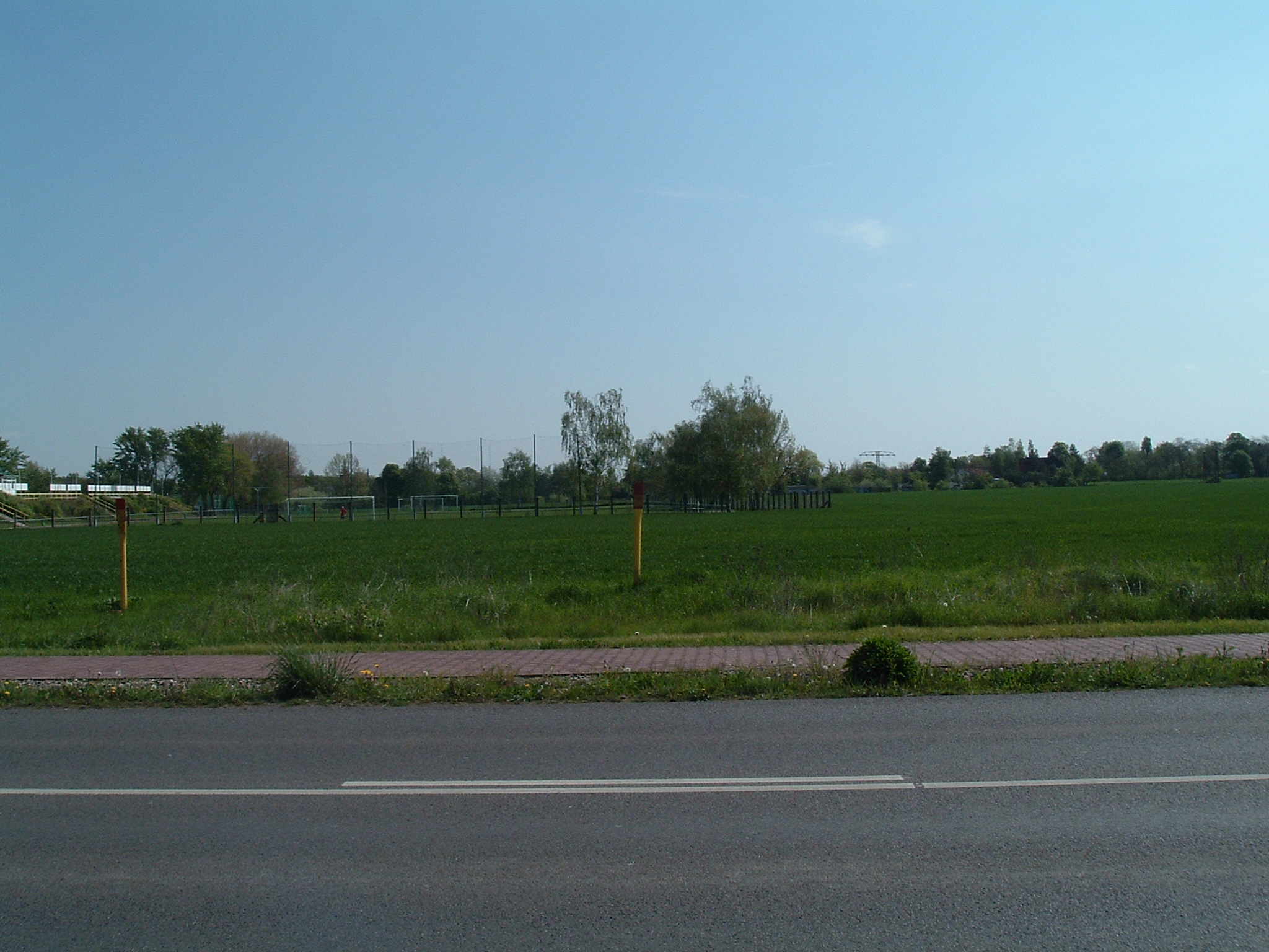
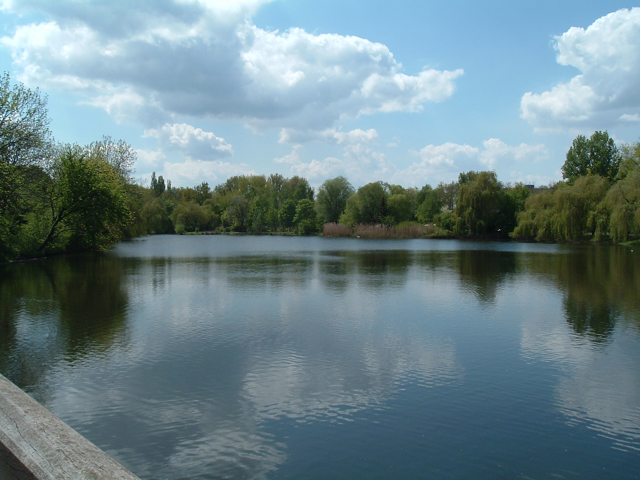
Near the Northern Gardens. No 10 years ago this was all farm land. [de] Bei den Gärten (am Stadion). Vor nicht mal 10 Jahren war das alles noch Farmland.

 ⌘
⌘
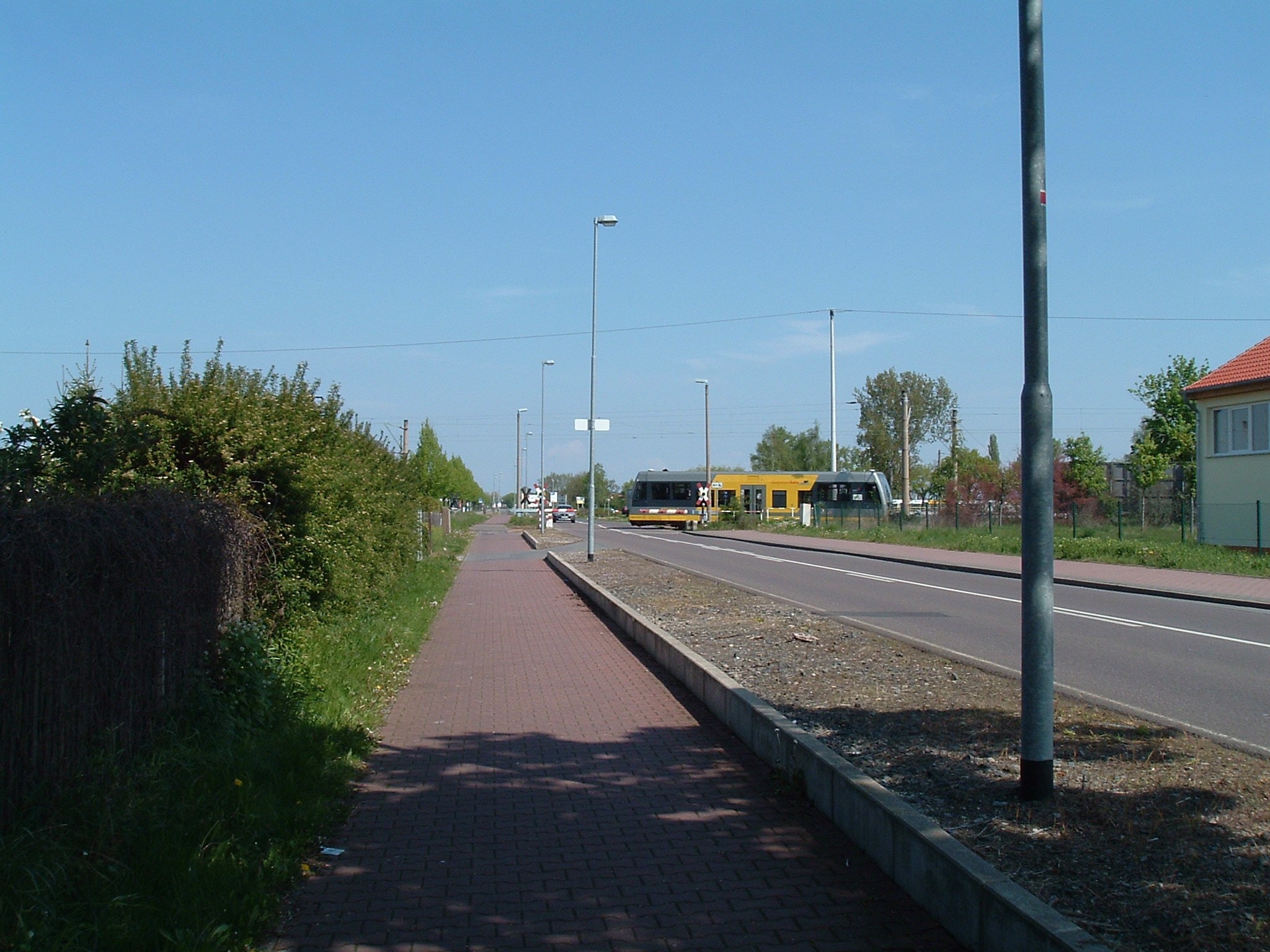
Burgenlandbahn
 ⌘
⌘
Traces of history
 ⌘
⌘
Macro view of a <i>Pyrrhocoris apterus</i> (de: Gemeine Feuerwanze, en: Firebug)

Seems like it got too hot for this one
 ⌘
⌘  ⌘
⌘
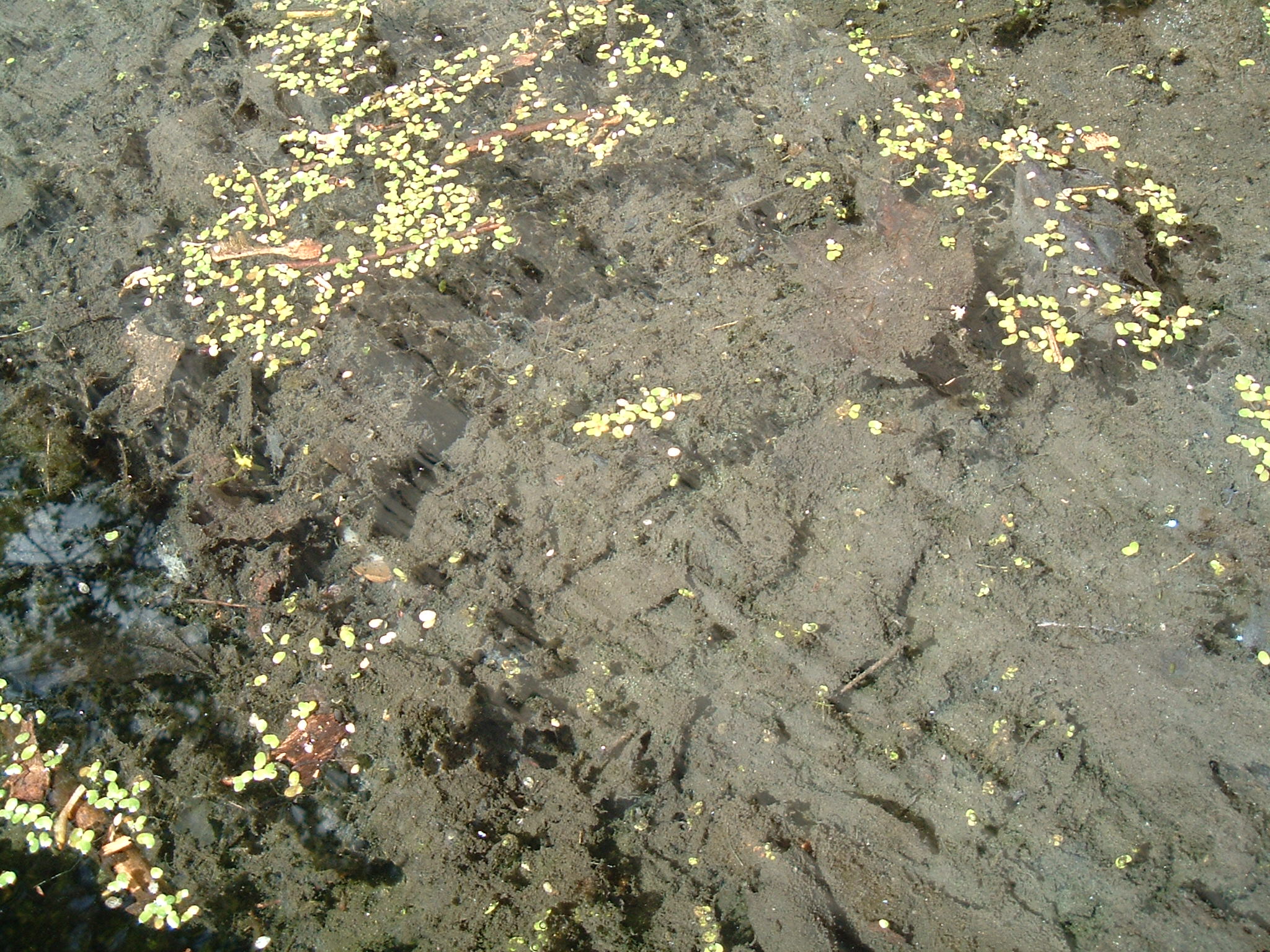
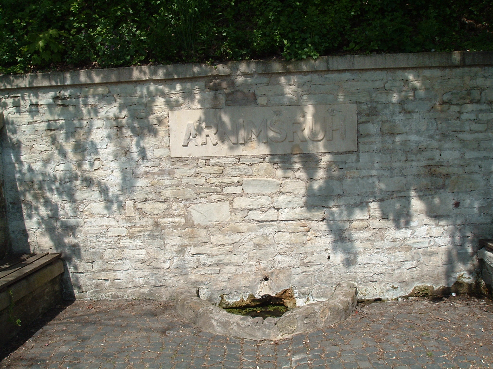
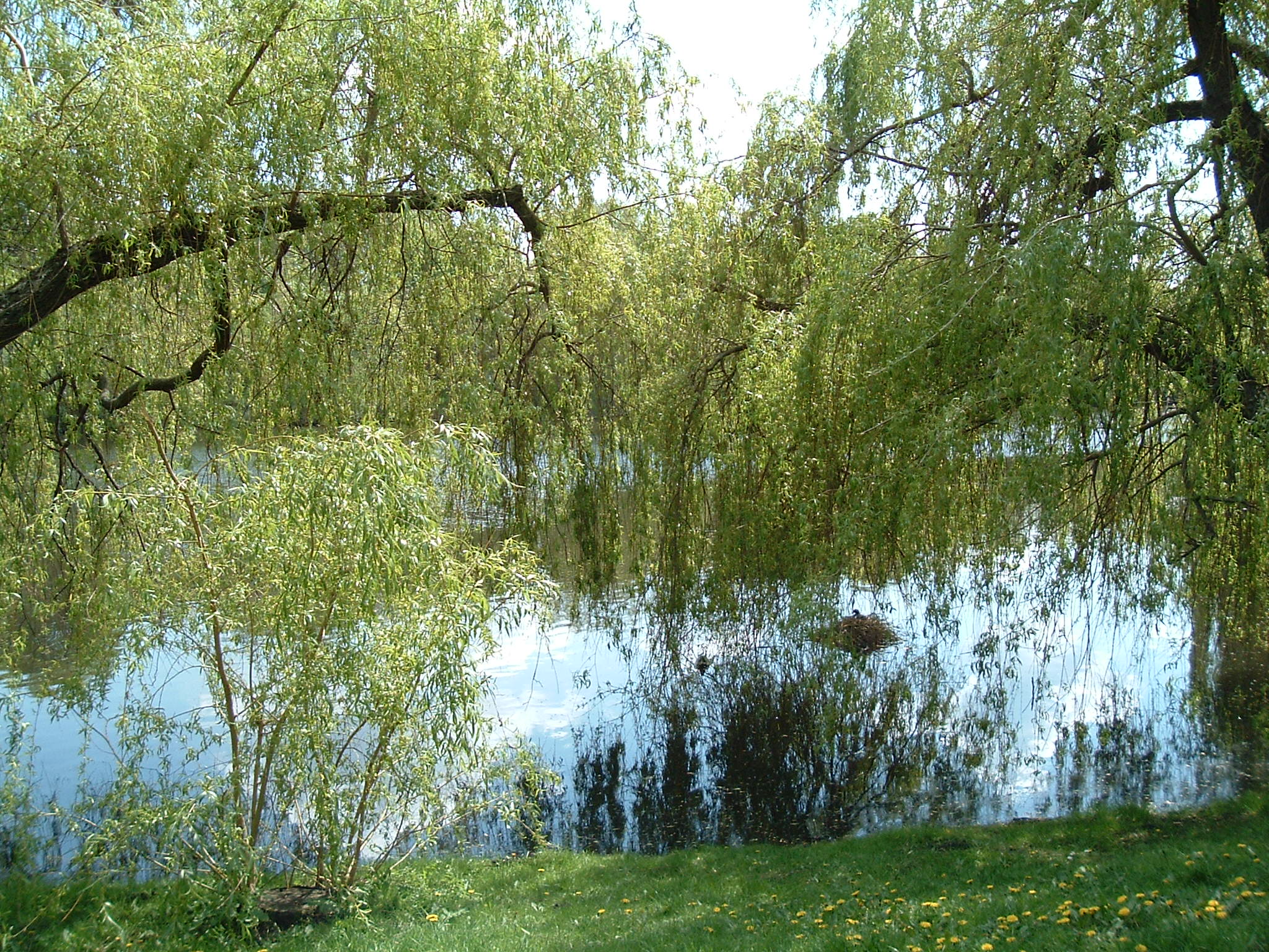
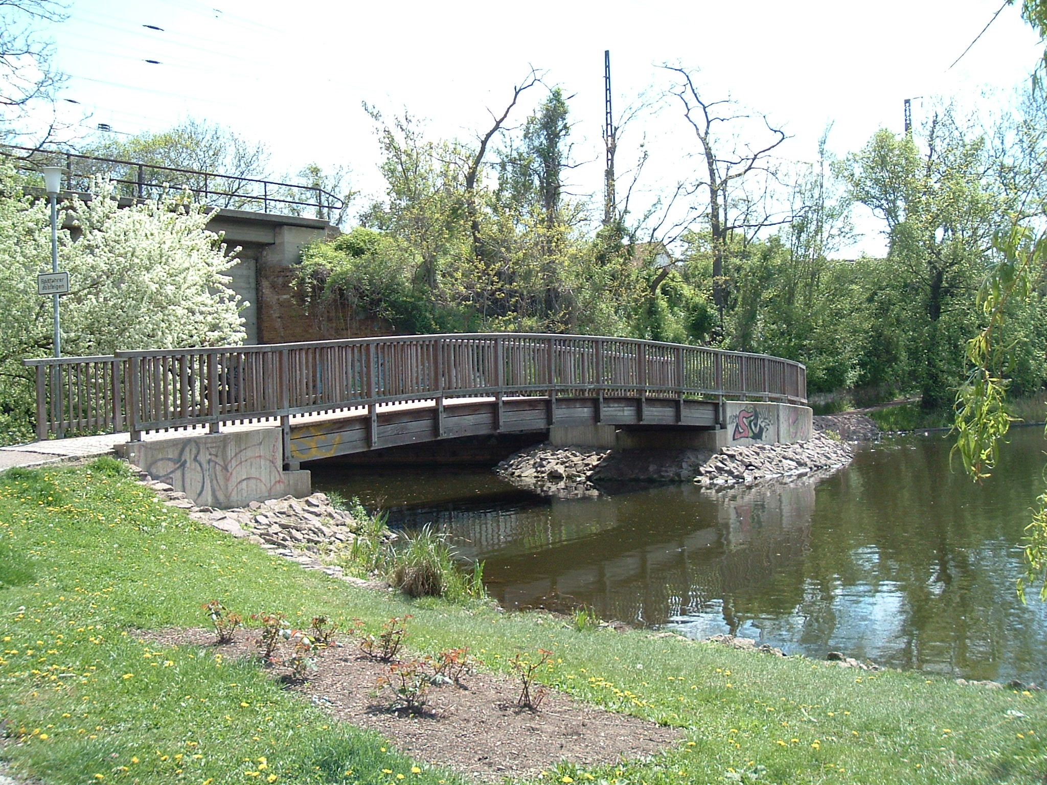
Spring (Quelle) at Stadtpark Merseburg – still water though
 ⌘
⌘  ⌘
⌘
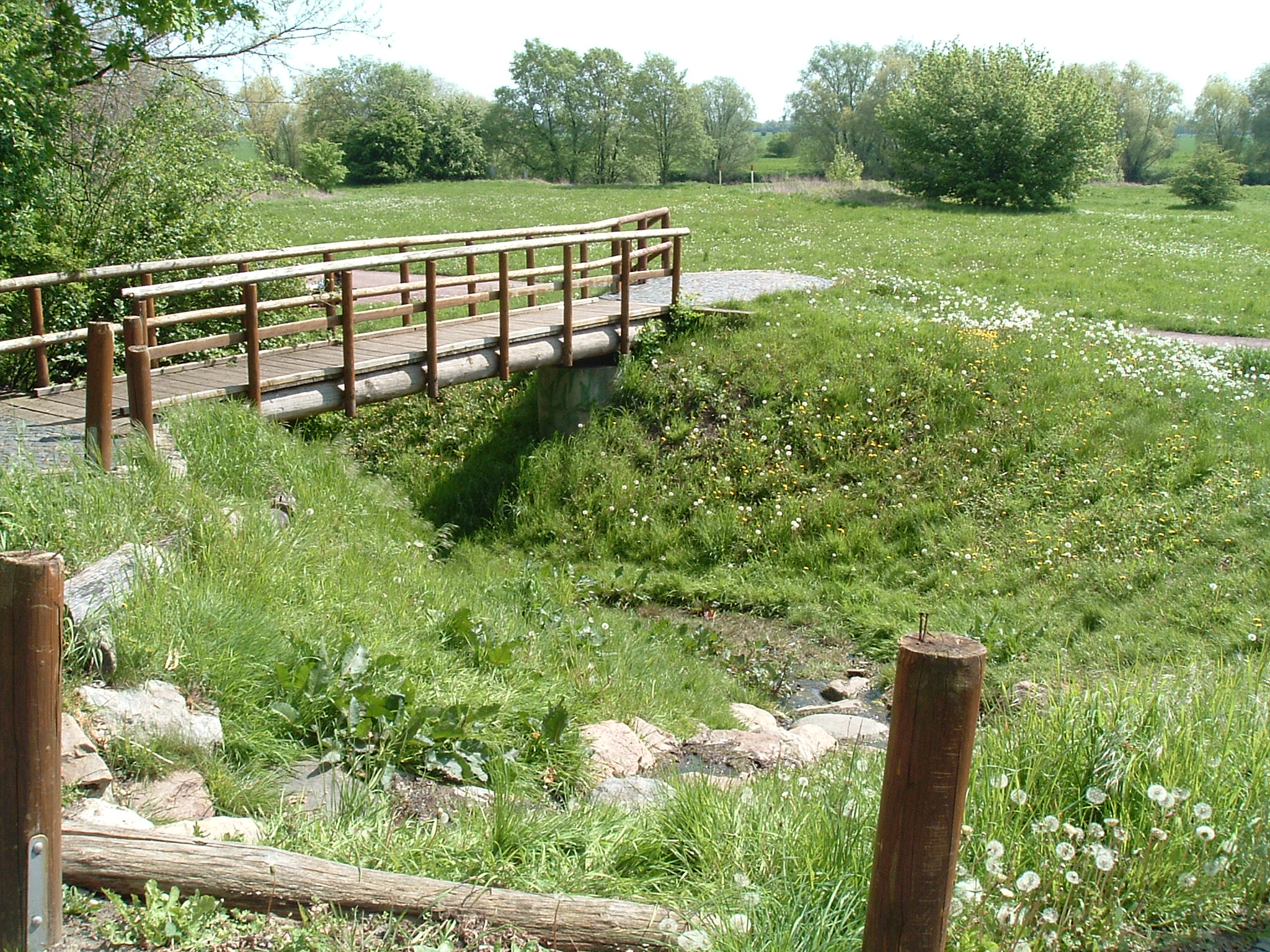
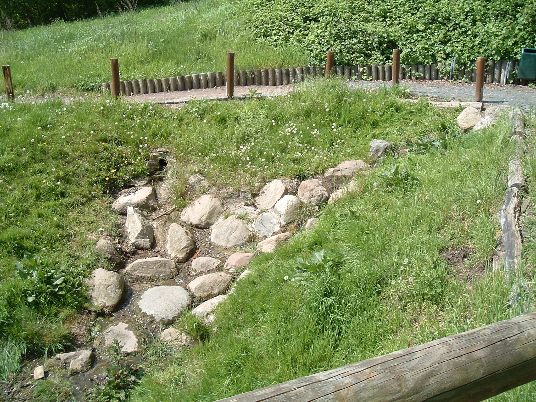
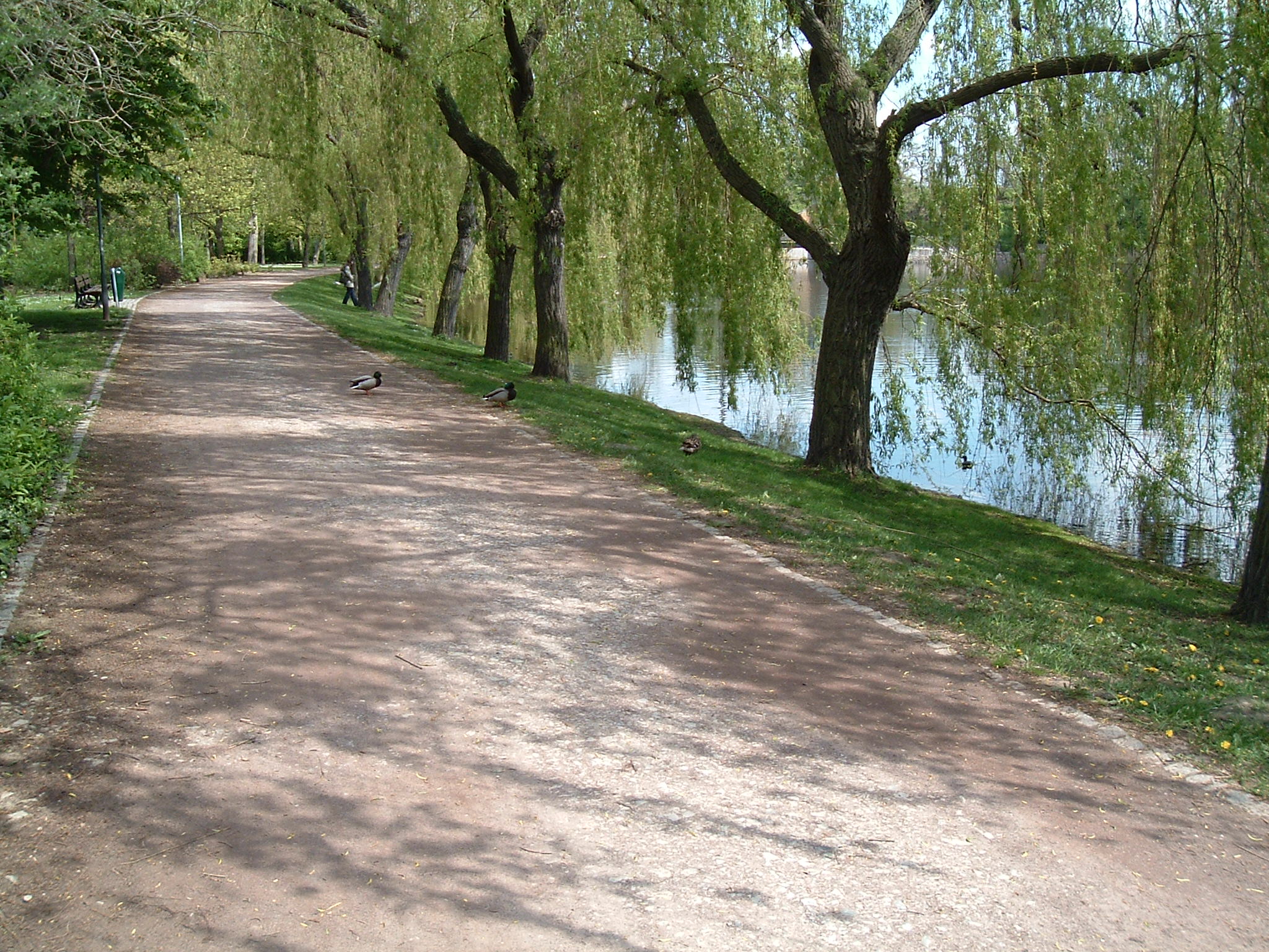
It really starts to flow here
 ⌘
⌘
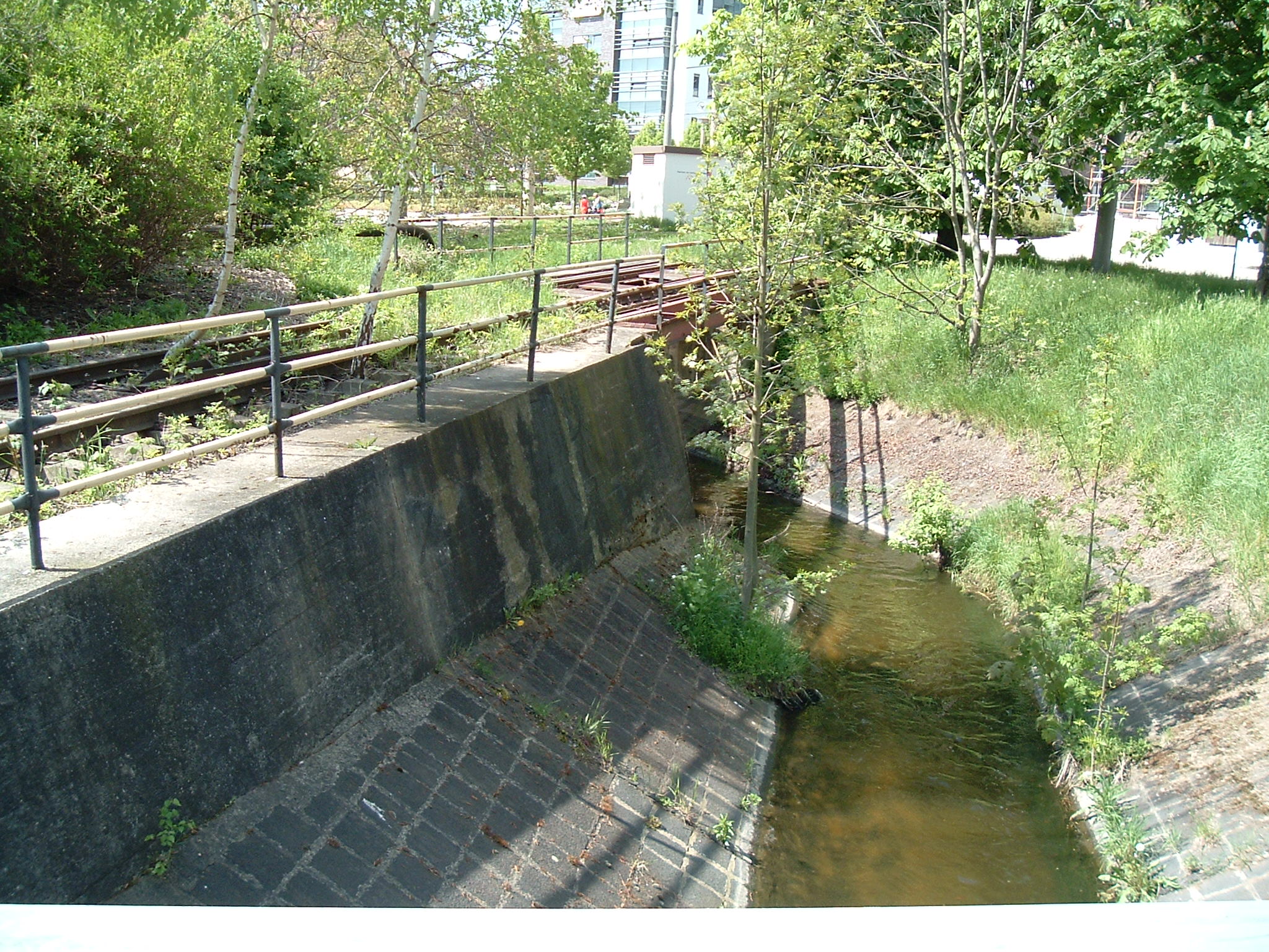
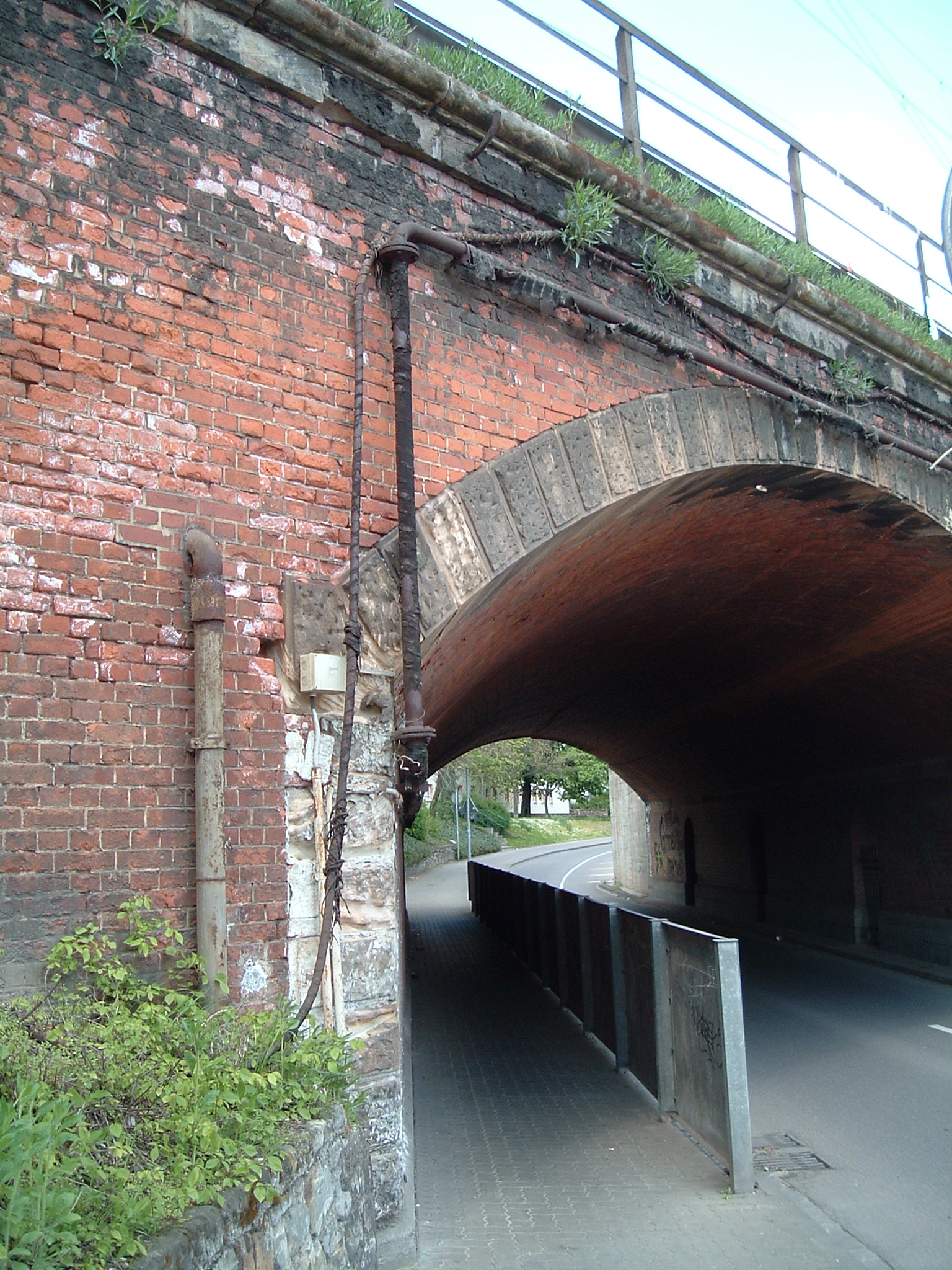
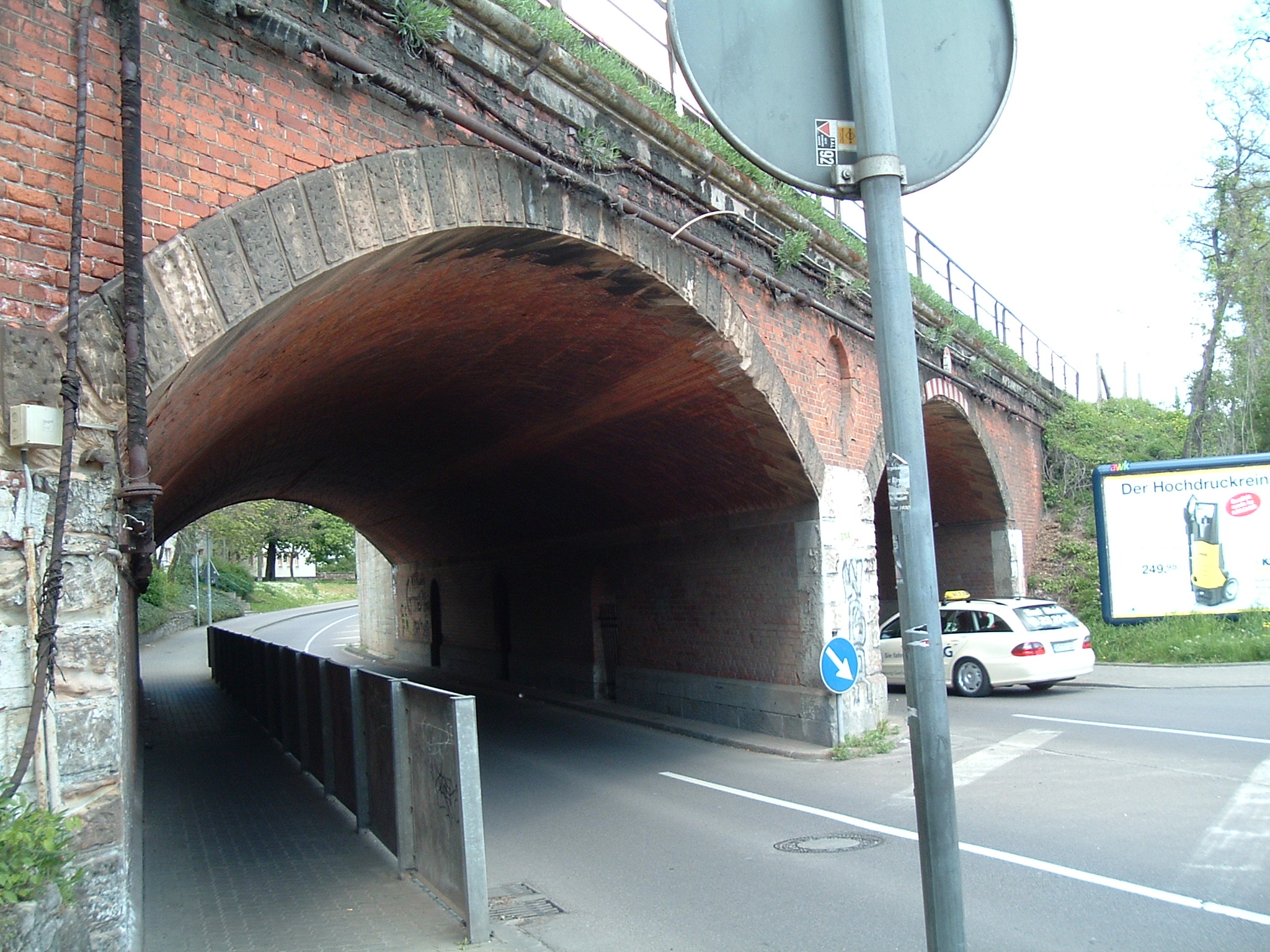
Remnants of a train bridge (no other rails anywhere near) – this bridge is stray for as long as 1987
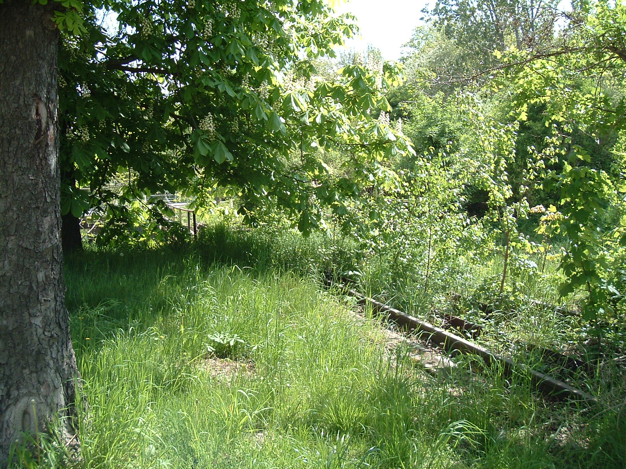
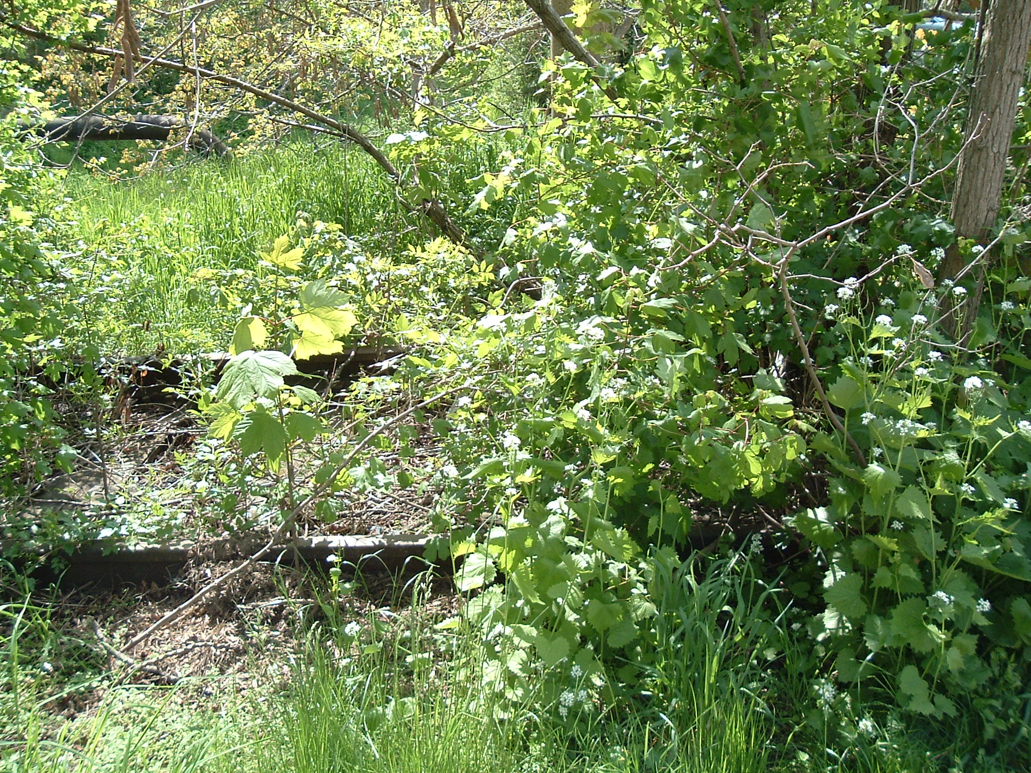
 ⌘
⌘
So this is the proof this track was abandoned long ago
 ⌘
⌘
Once upon a time, a DDR Konsumladen was located here (up to perhaps 1994?) / Lindenstraße
 ⌘
⌘
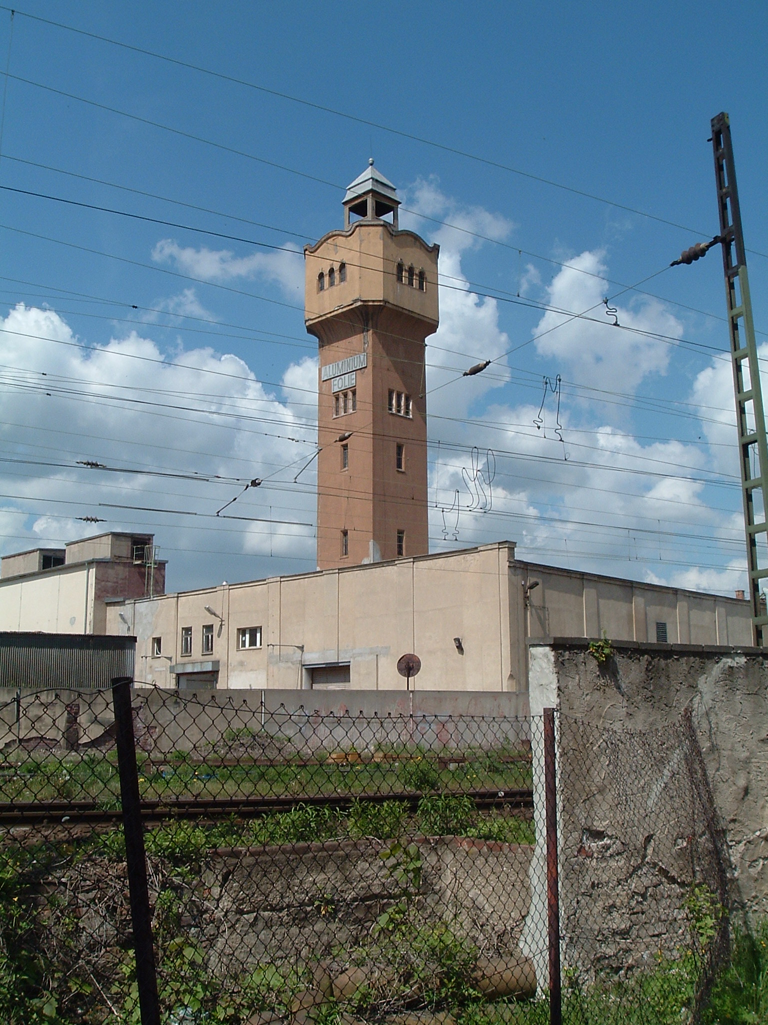
This tower also exists since at least mid-1980s, but I still do not know its original purpose
Merseburg
 ⌘
⌘  ⌘
⌘  ⌘
⌘  ⌘
⌘  ⌘
⌘
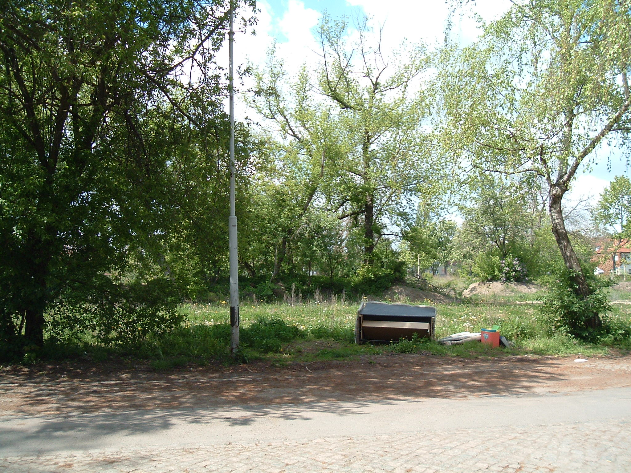
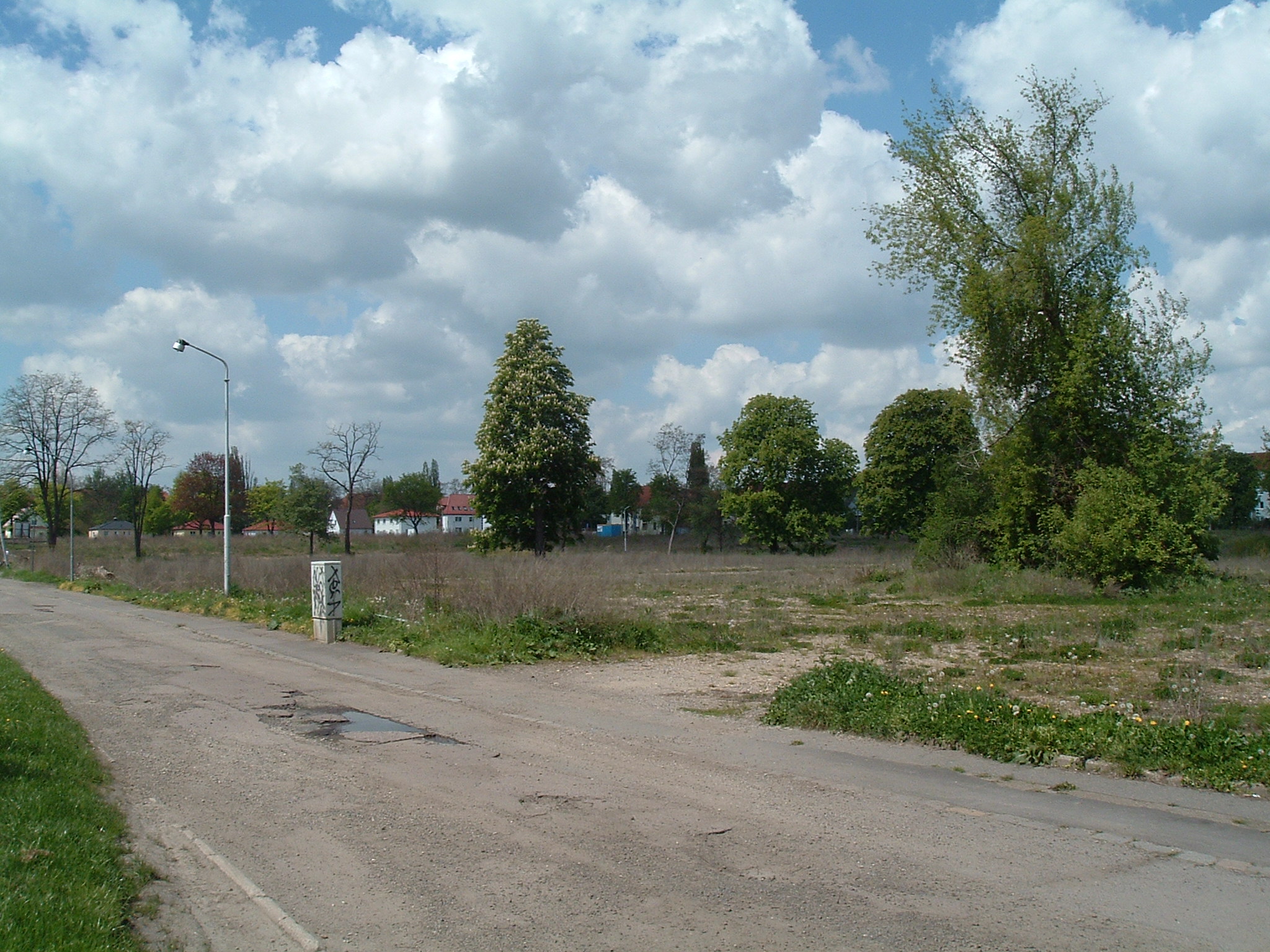
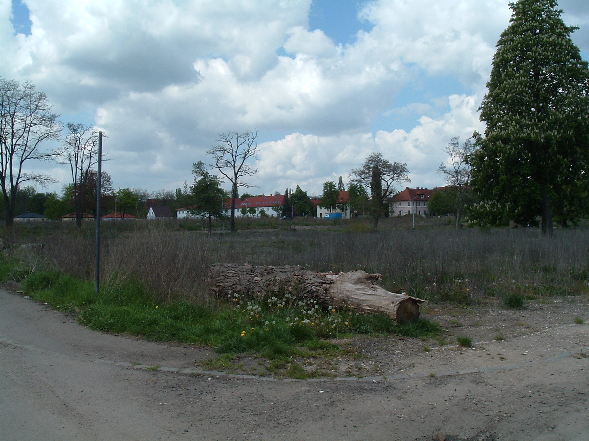
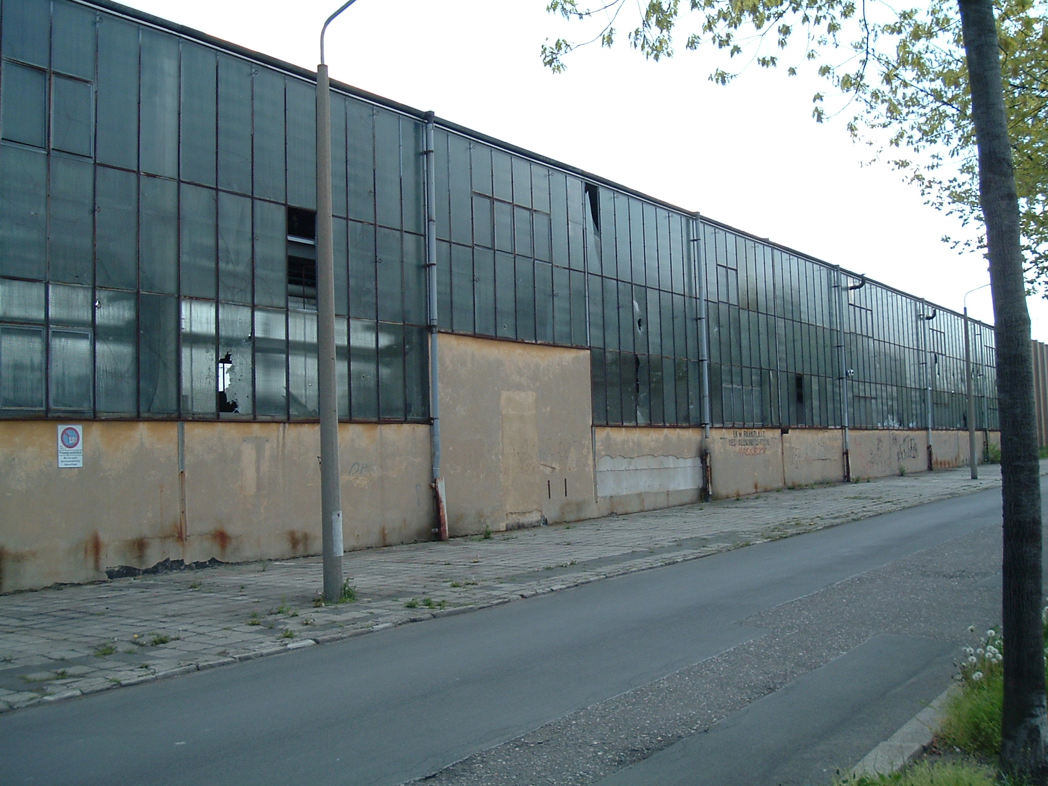
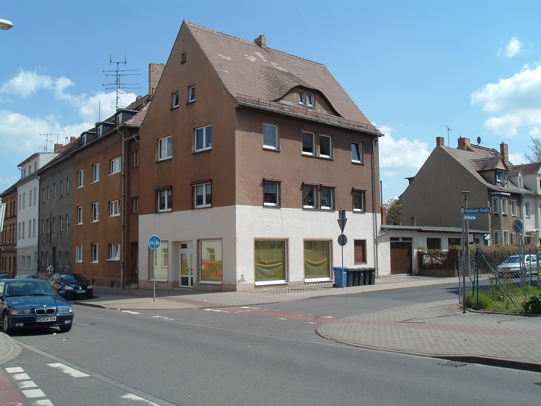
Alberichstraße (built circa 1920) – removed in late 2007
 ⌘
⌘
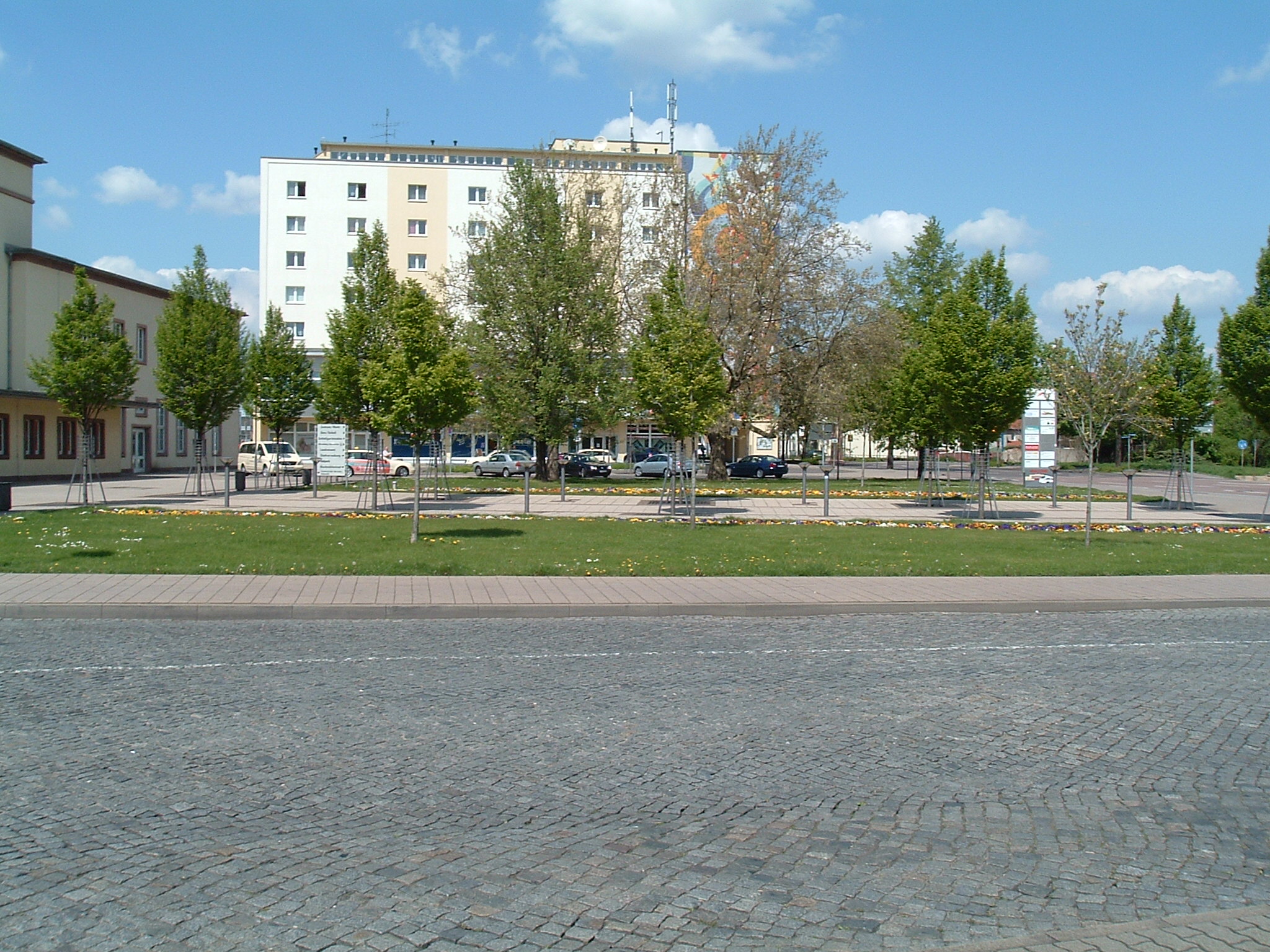
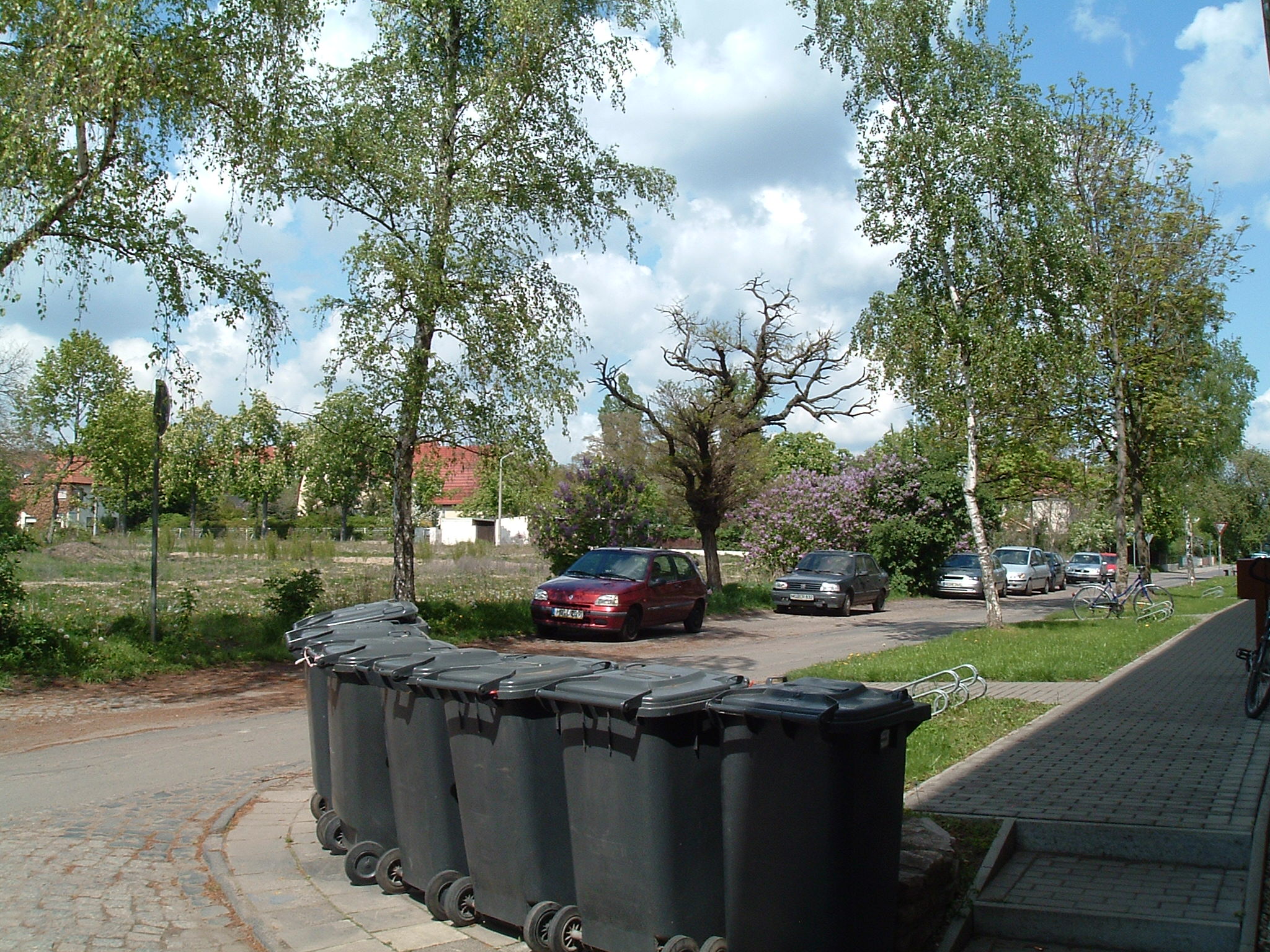
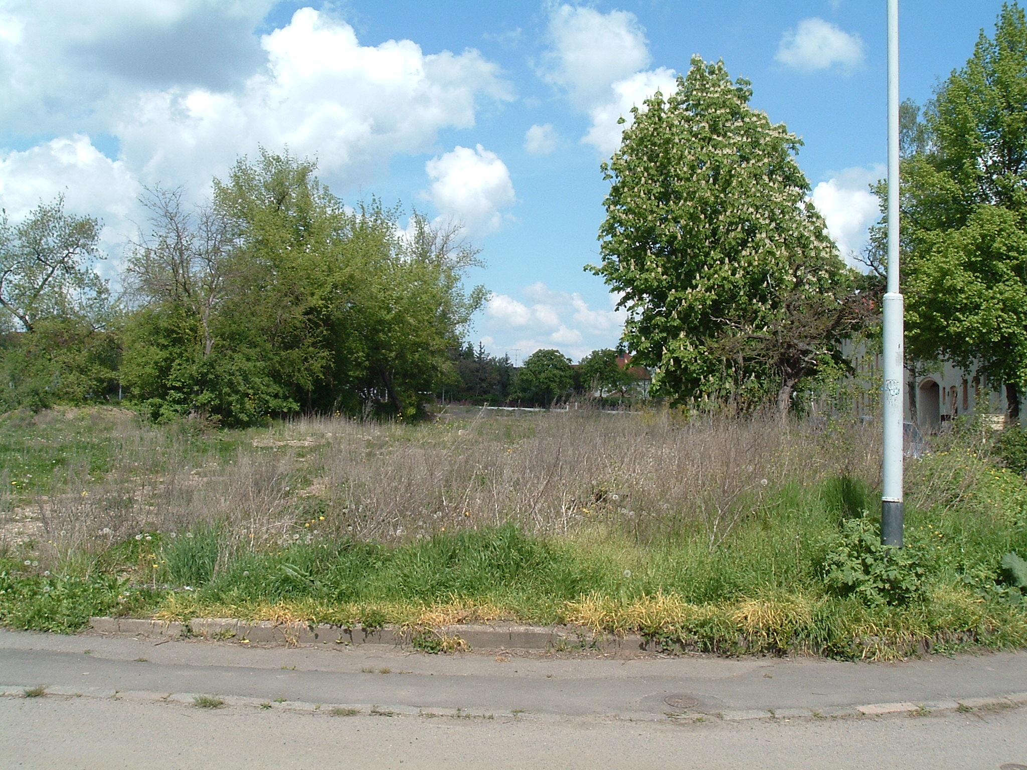
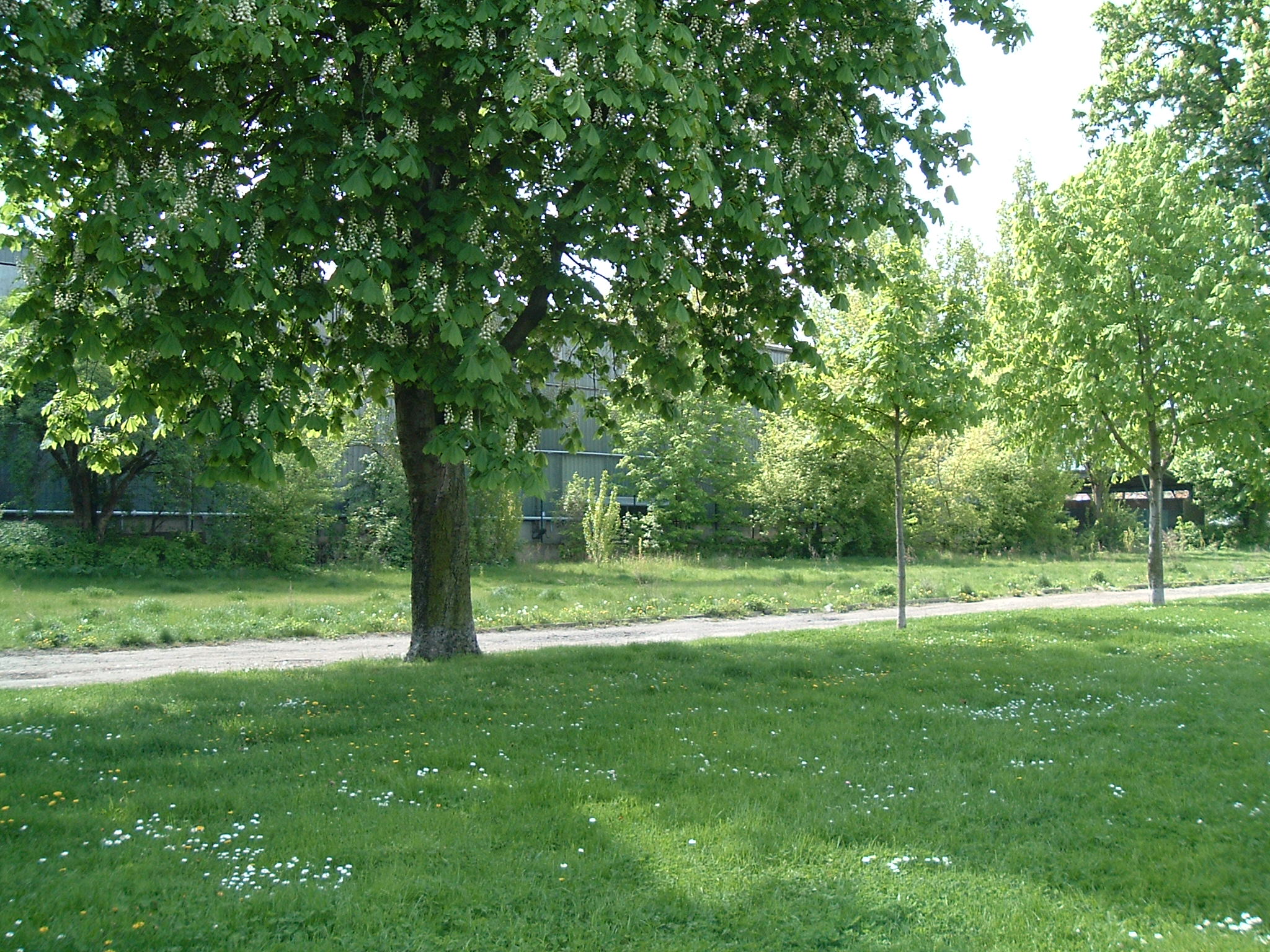
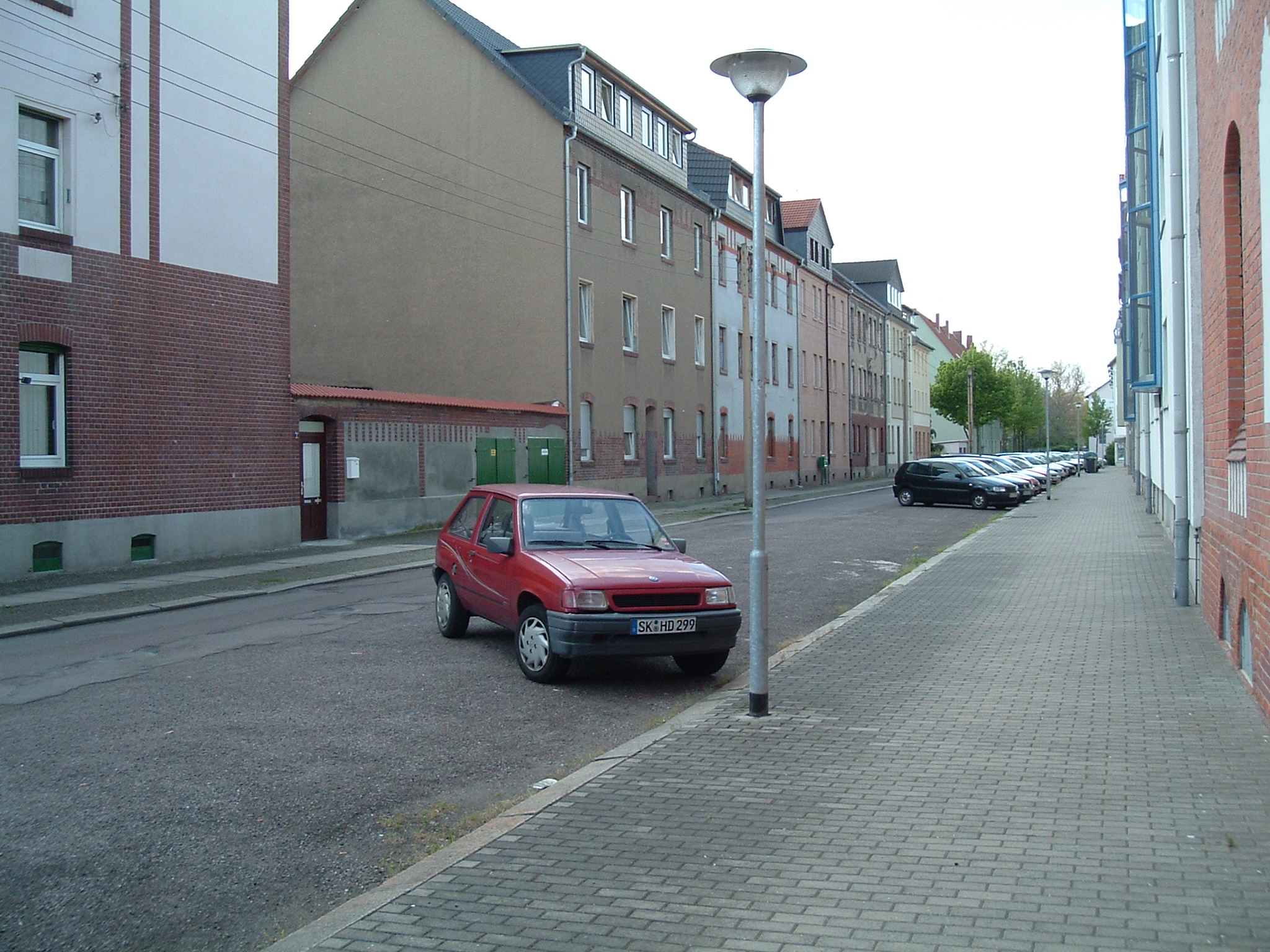
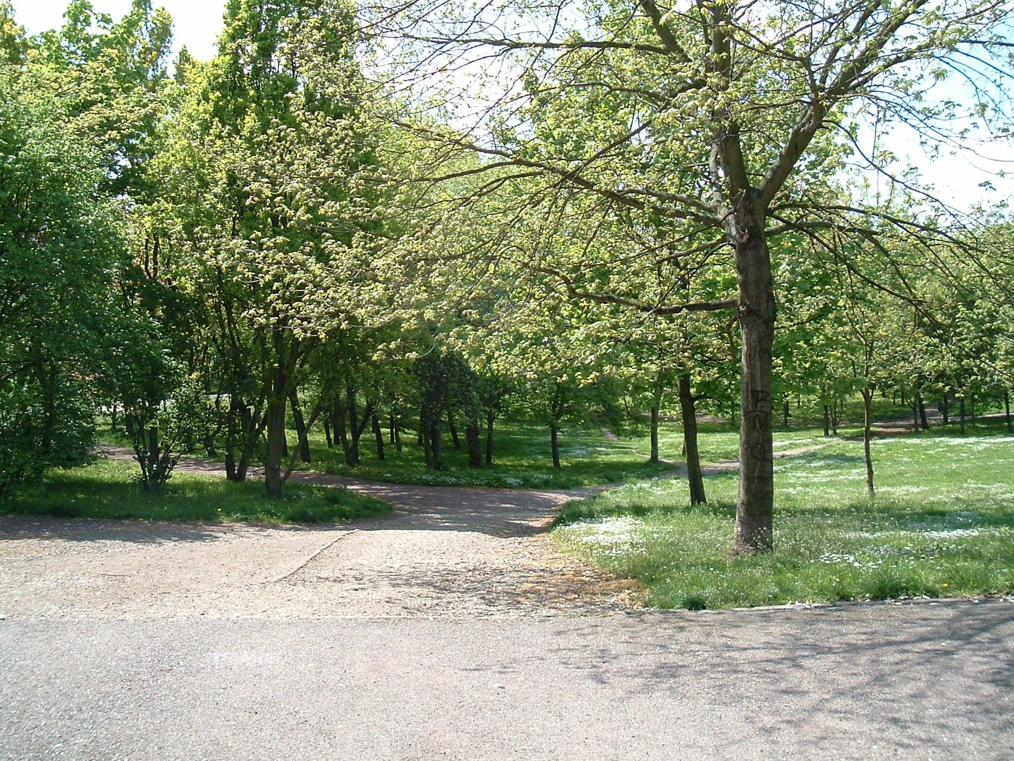
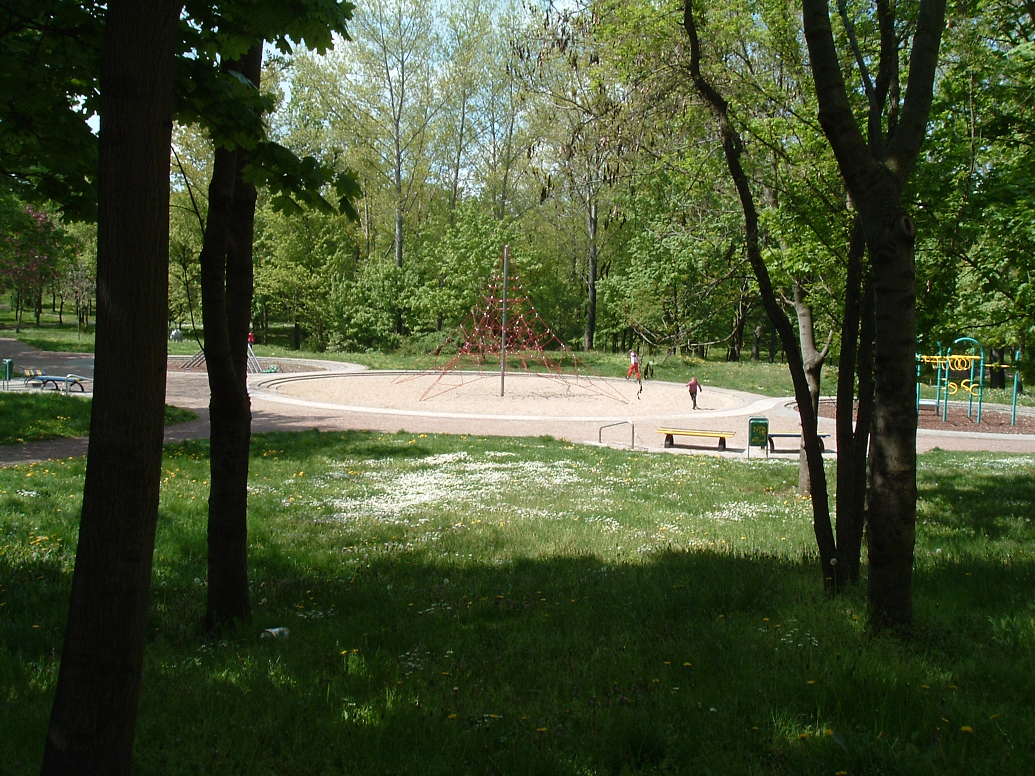
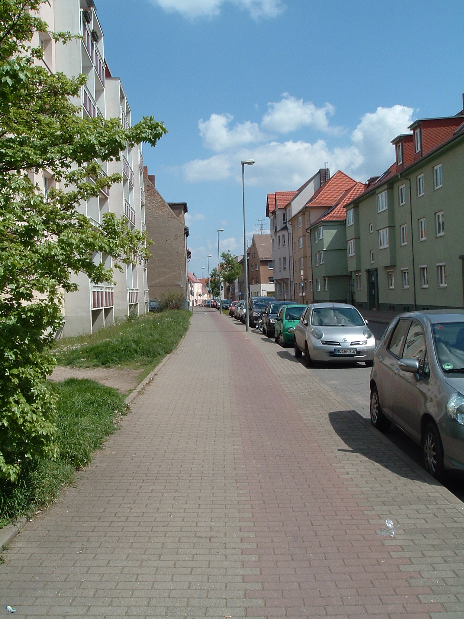
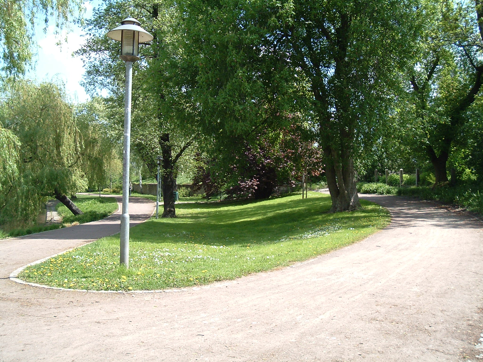
A bit of green here and there
 ⌘
⌘  ⌘
⌘  ⌘
⌘  ⌘
⌘  ⌘
⌘
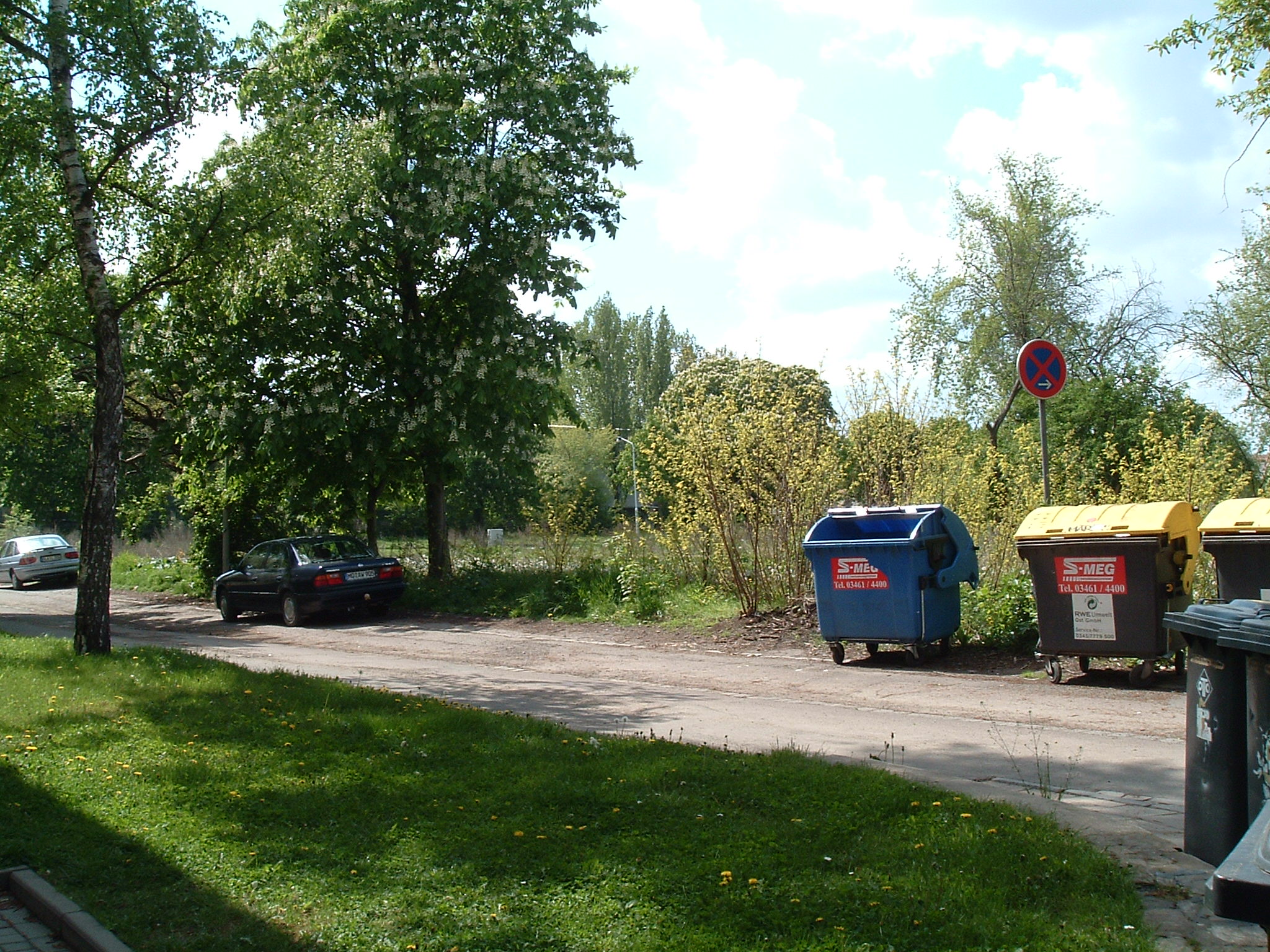
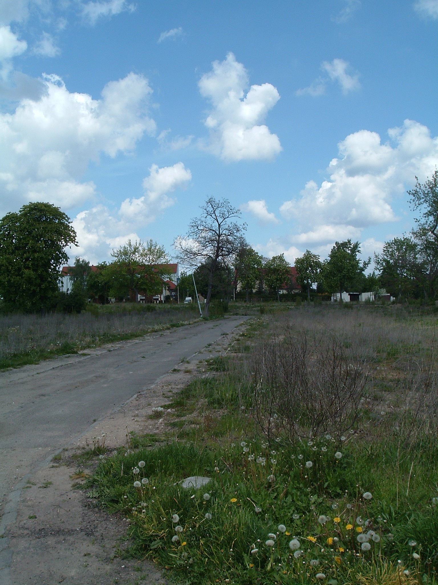
You still see the street lamps

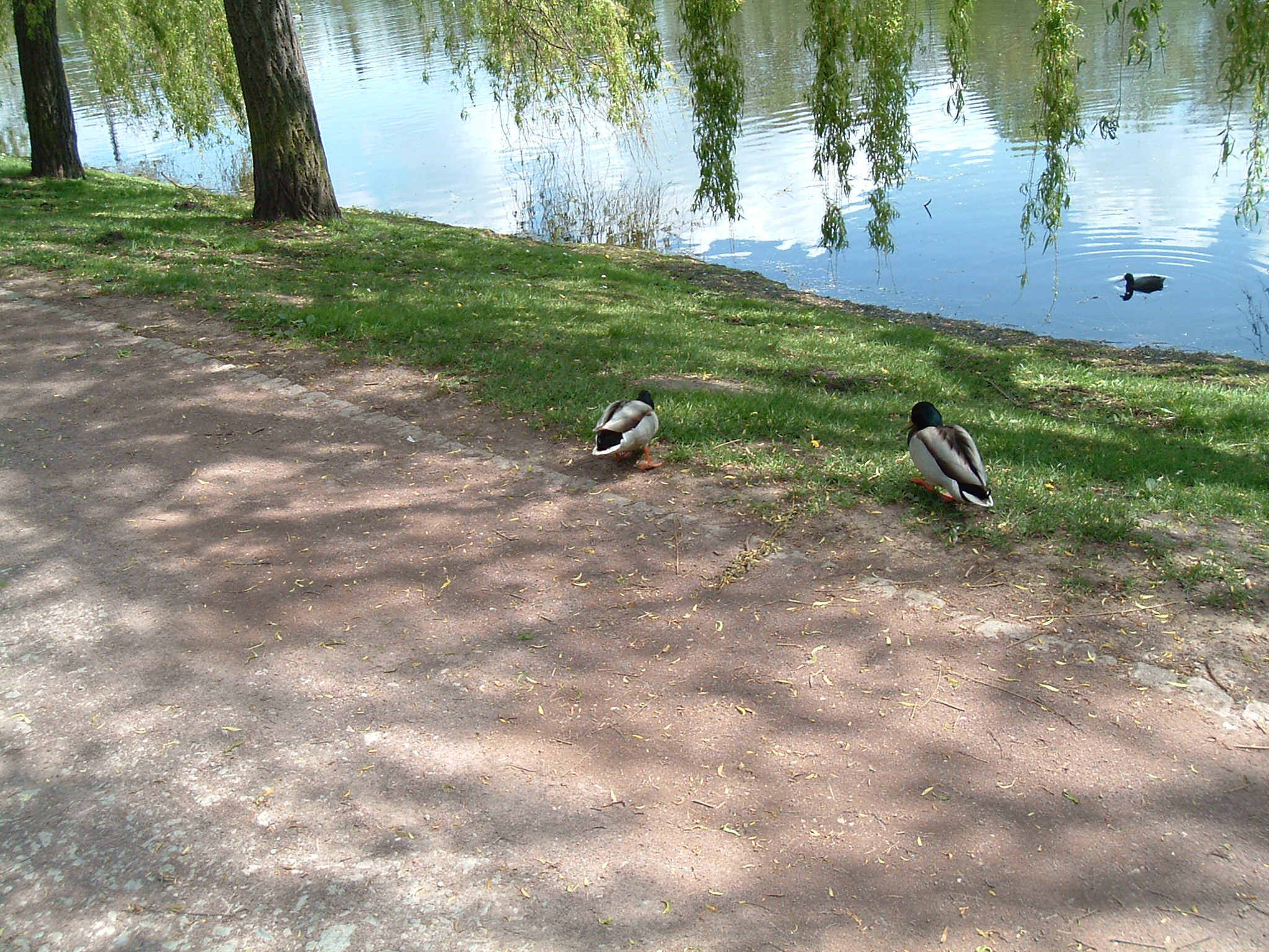
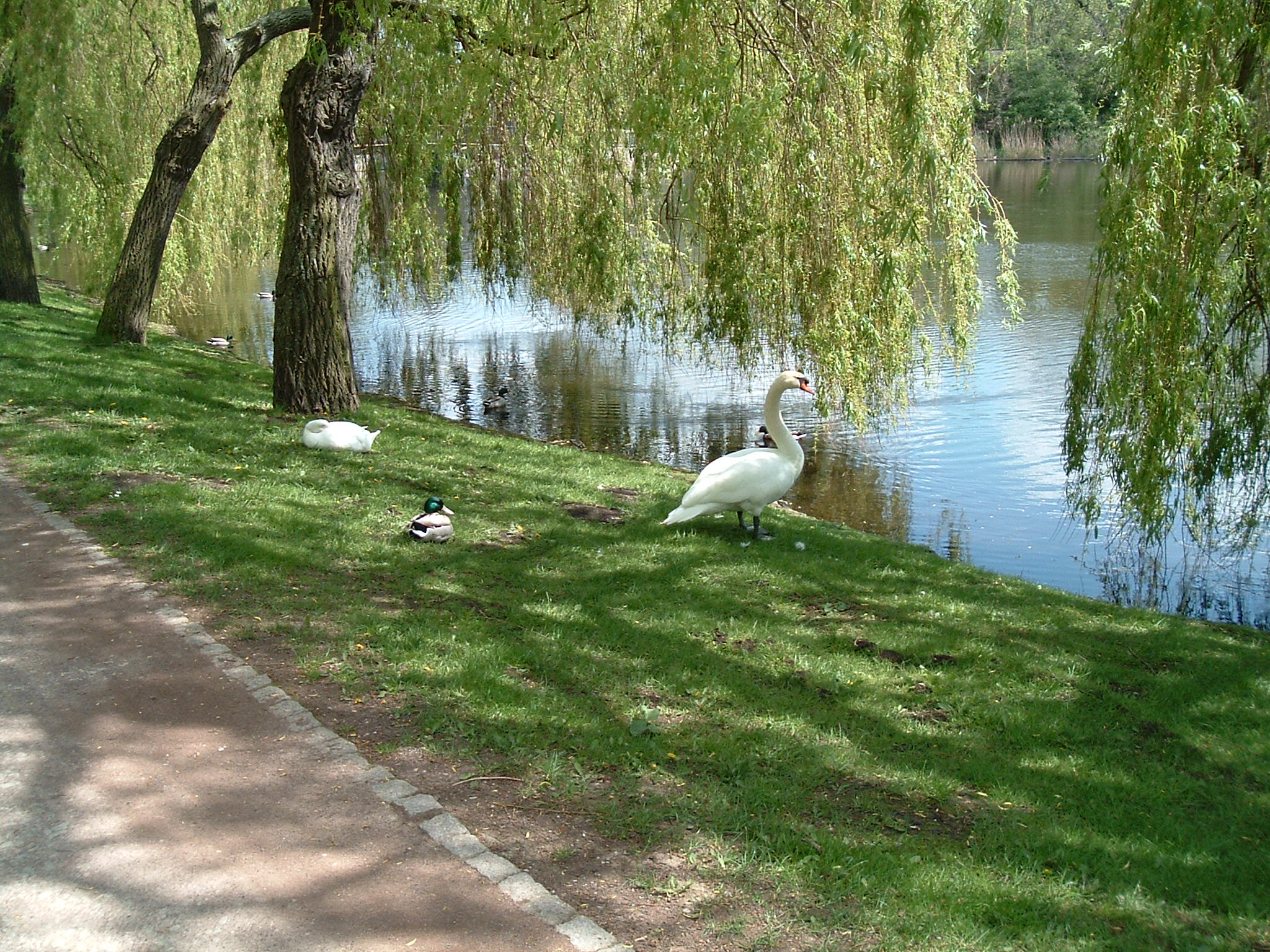
Merseburg – Gotthardsteich
 ⌘
⌘
Westside Gotthardsteich


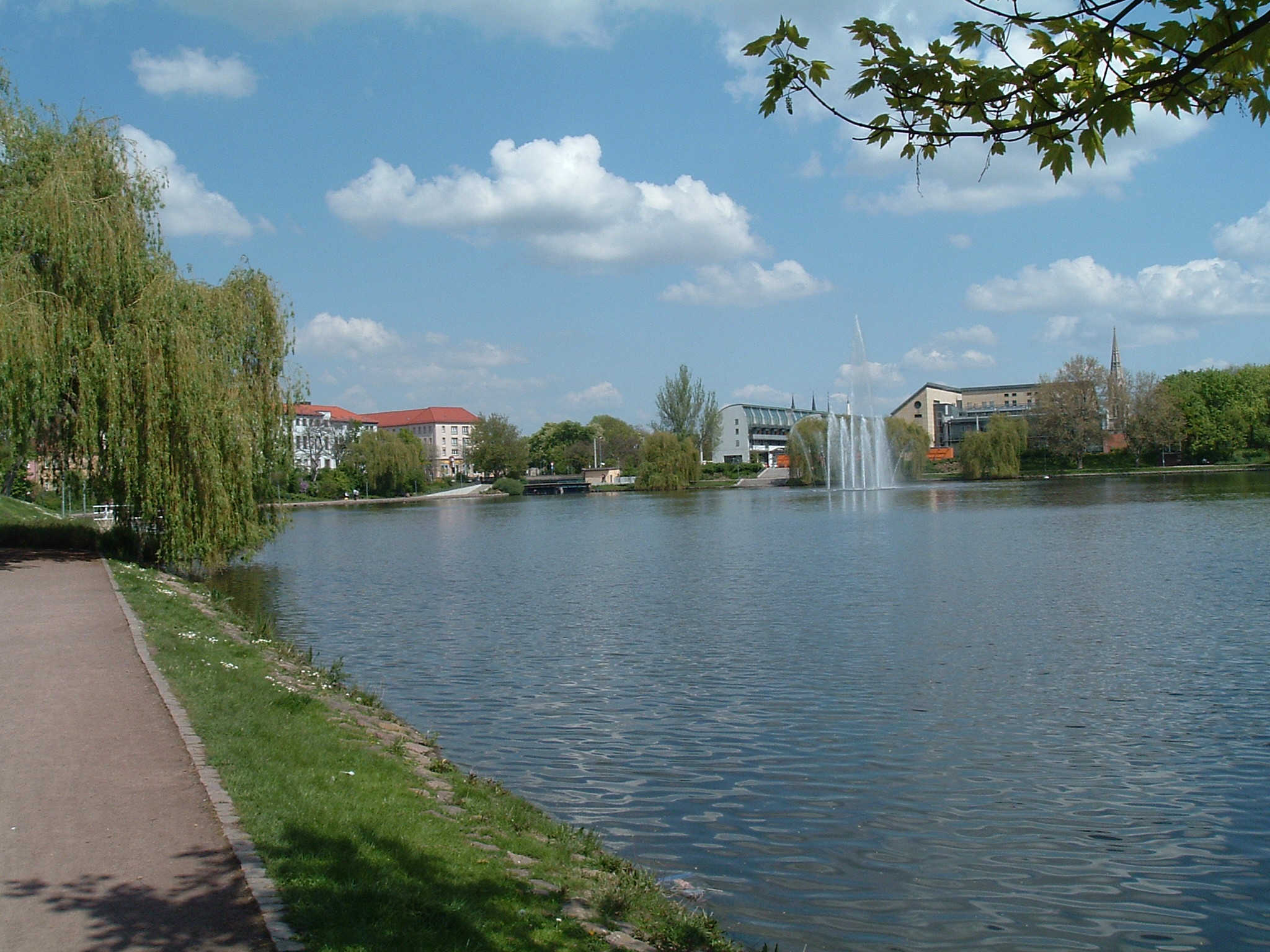
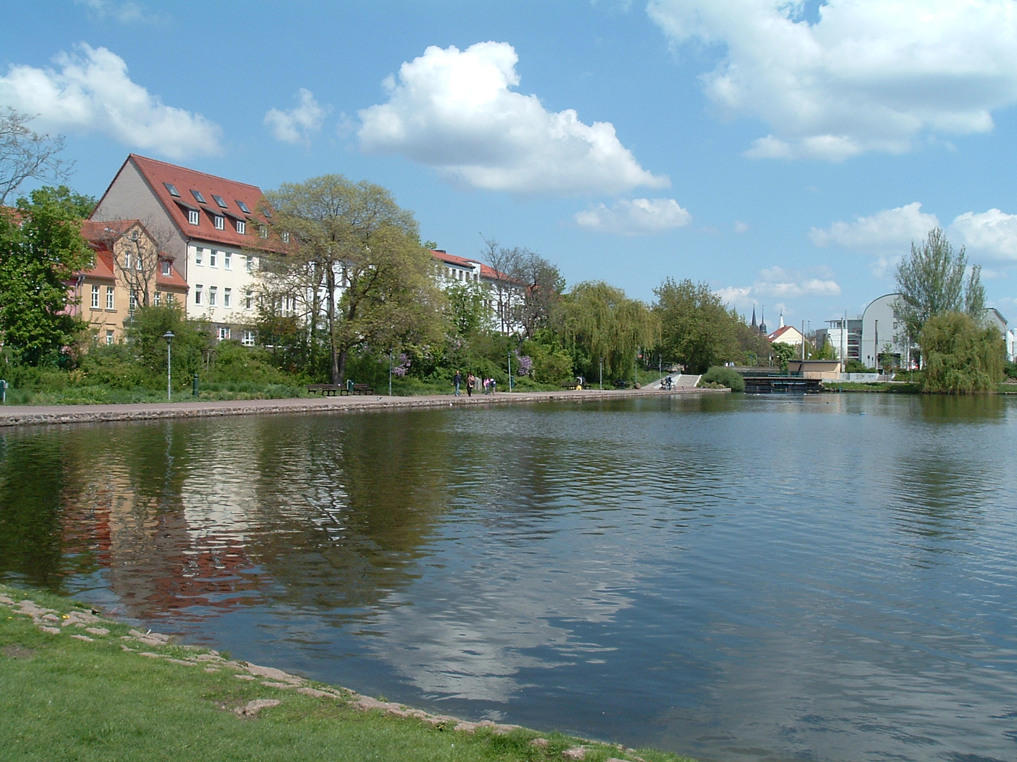

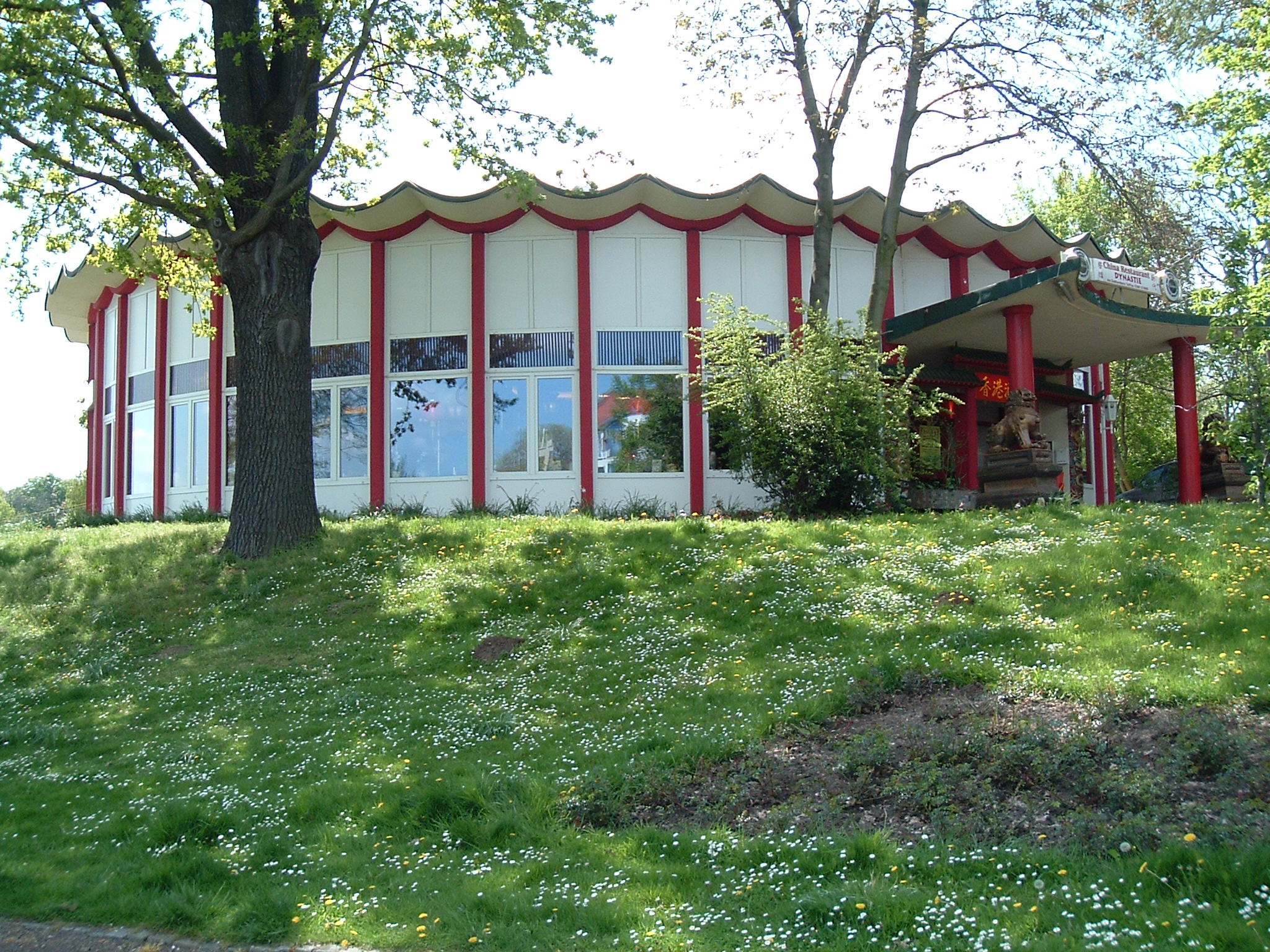 ⌘
⌘
Chinese restaurant “Dynastie” – recommended
Merseburg – Zentrum
 ⌘
⌘
This place was commonly called “Hölle” (Hell) and I seem to remember even the station had this name – until they later changed it to “Marienstraße”. (As of 2011: it's just “Zentrum” now.)